Jim Schroder's Travel
  • Home
  • Trips
Select Page

Chile and Easter Island

DSC_8454
Valle de la Luna is a part of the Reserva Nacional los Flamencos and was declared a Nature Sanctuary in 1982 for its natural environment and strange lunar landscape, from which its name is derived. The Atacama desert is also considered one of the driest places on earth, as some areas have not received a single drop of rain in hundreds of years. A prototype for a Mars rover was tested there by scientists because of the valley's dry and forbidding terrains.
Los Flamencos National Reserve is a nature reserve located in the commune of San Pedro de Atacama, Antofagasta Region of northern Chile. The reserve covers a total area of 180,000 acres in the Central Andean dry puna eco region and consists of seven separate sections.
This reserve, created in 1990, consists of seven areas located in the town of San Pedro de Atacama. Each one of them has a different geography, flora, fauna and hydrography.
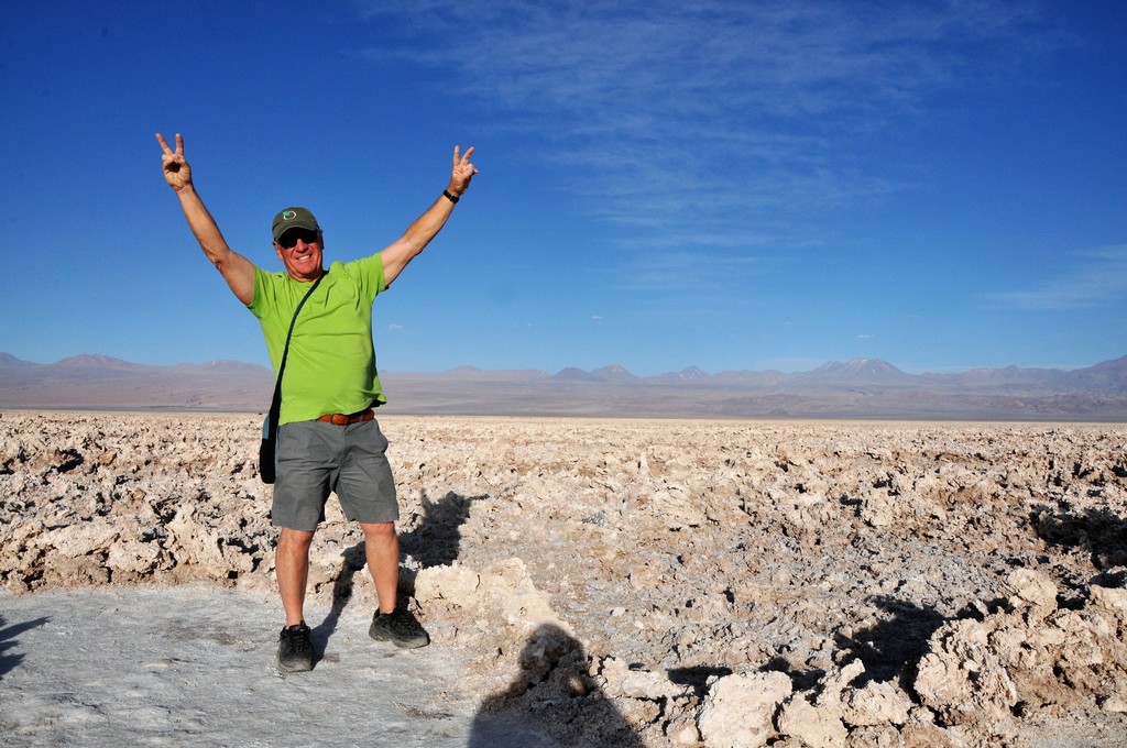
Valle de la Luna proves aptly named—very much a "Moon Valley" in its extraterrestrial appearance, all cracked earth and unfriendly terrain, pillars of salt torturing the thirsty soil. Valle de la Muerte is also appropriately christened—"Death Valley"
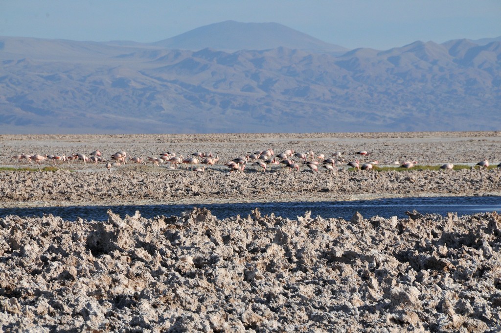
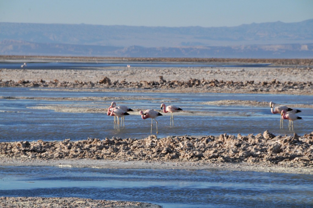
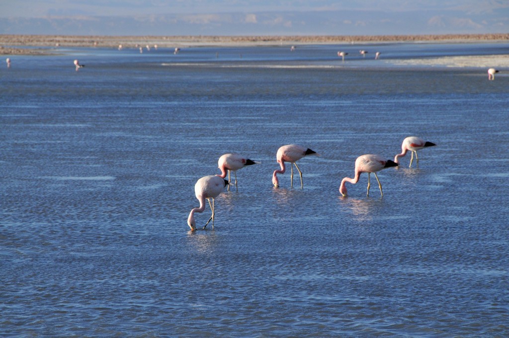
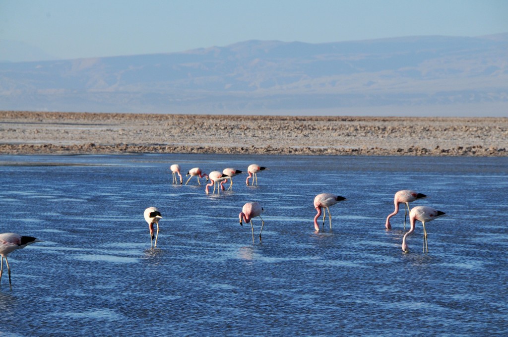
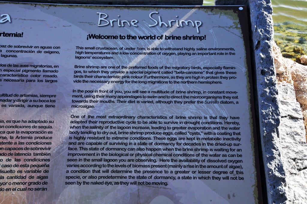
Tiny brine shrimp are super abundant in these waters! It's by eating these critters that the pink Chilean flamingos are able to maintain their definitive pink color,
DSC_8469
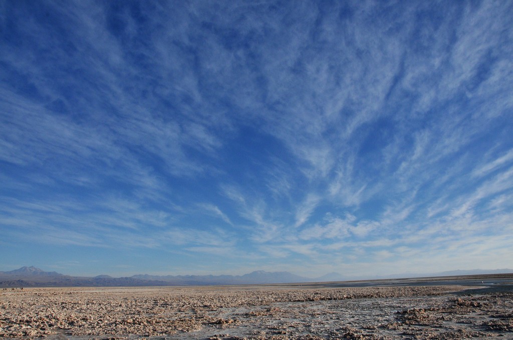
The skies in the Atacama are incredible.
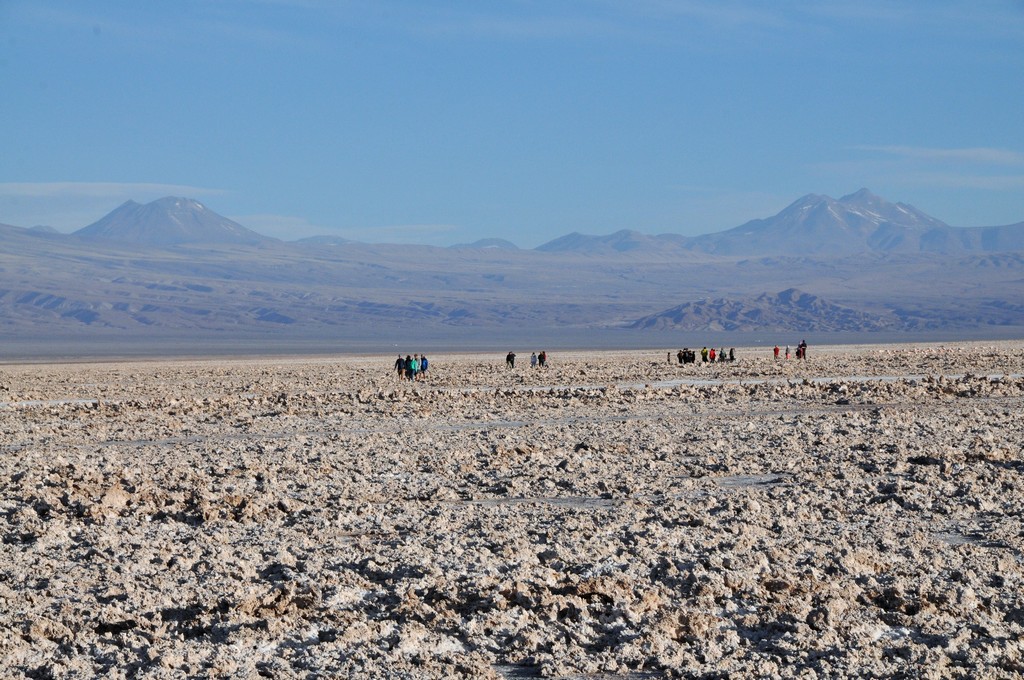
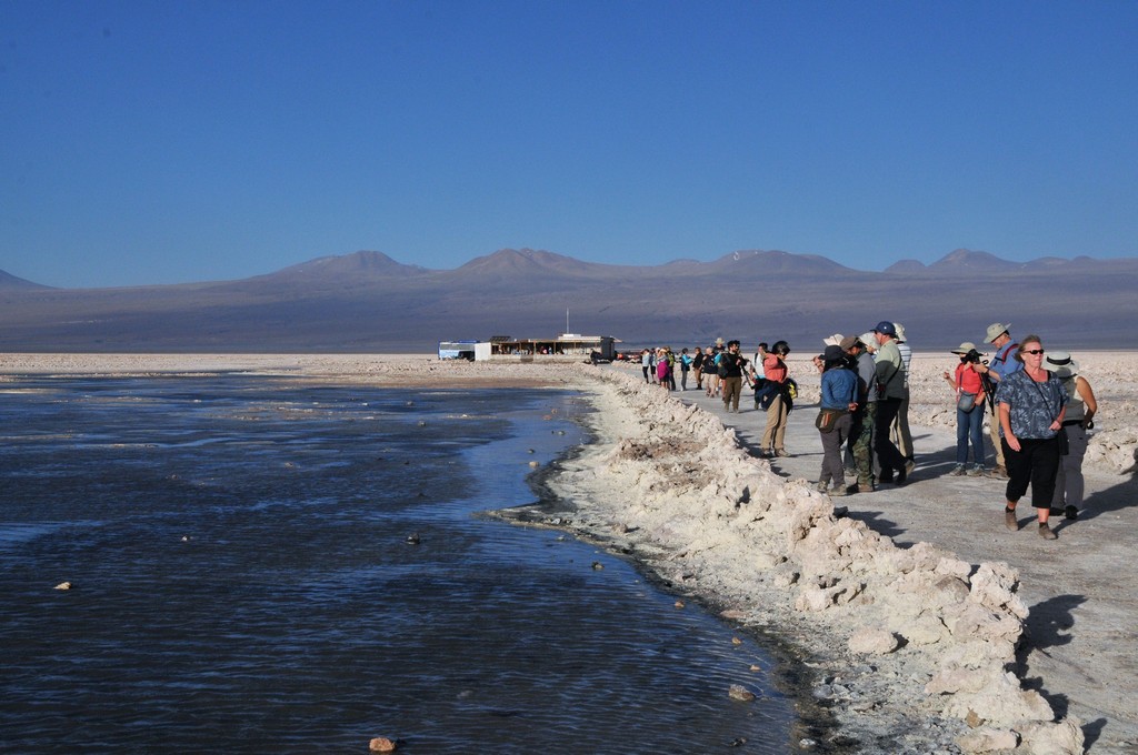
The jagged crust of the Salar de Atacama looks for all the world like God went crazy with a stippling brush. But in the midst of these rough lifeless crystals is an oasis of activity: the pungent Laguna Chaxa, about 25km southwest of Toconao and 65km from San Pedro, the Reserva Nacional Los Flamencos most easily accessible flamingo-breeding site.
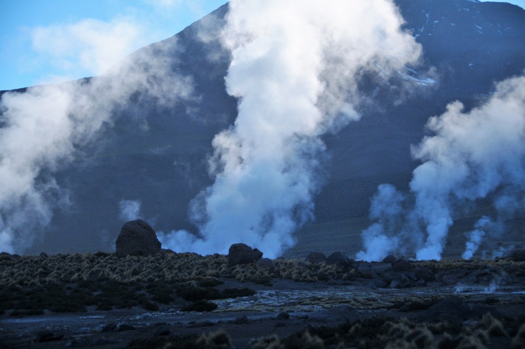
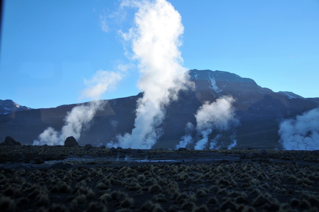
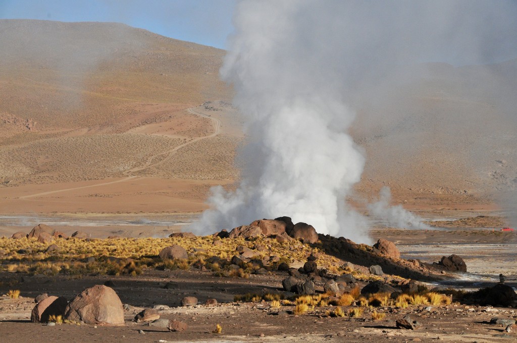
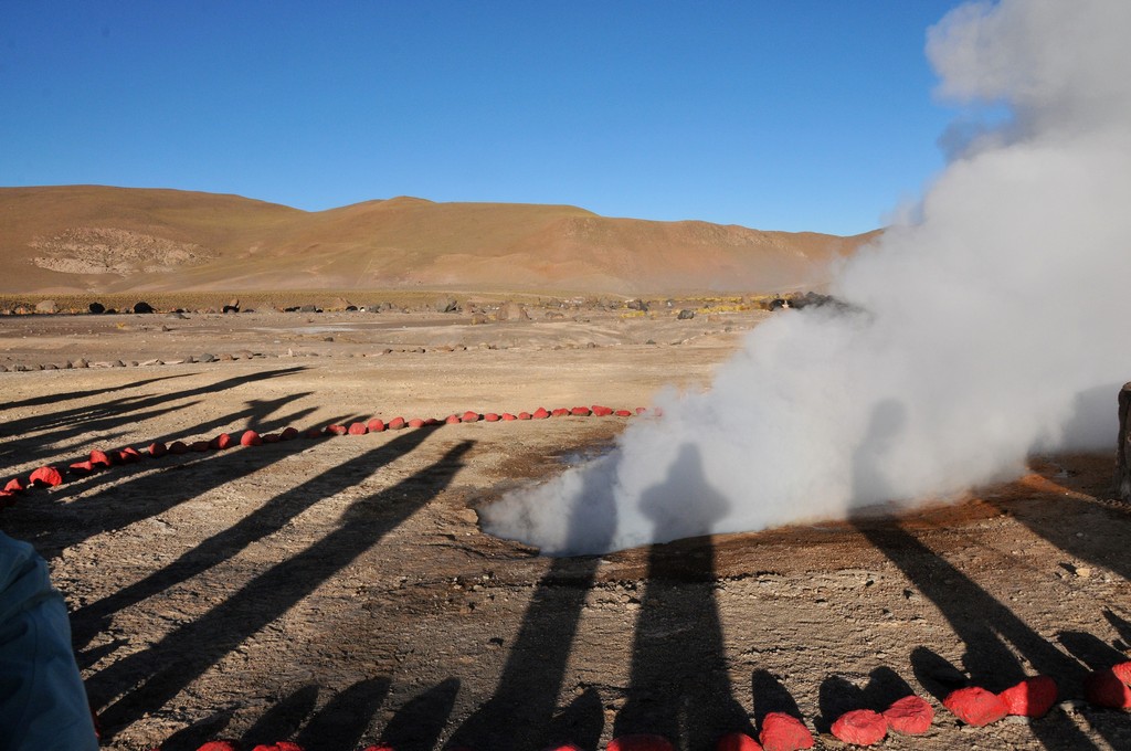
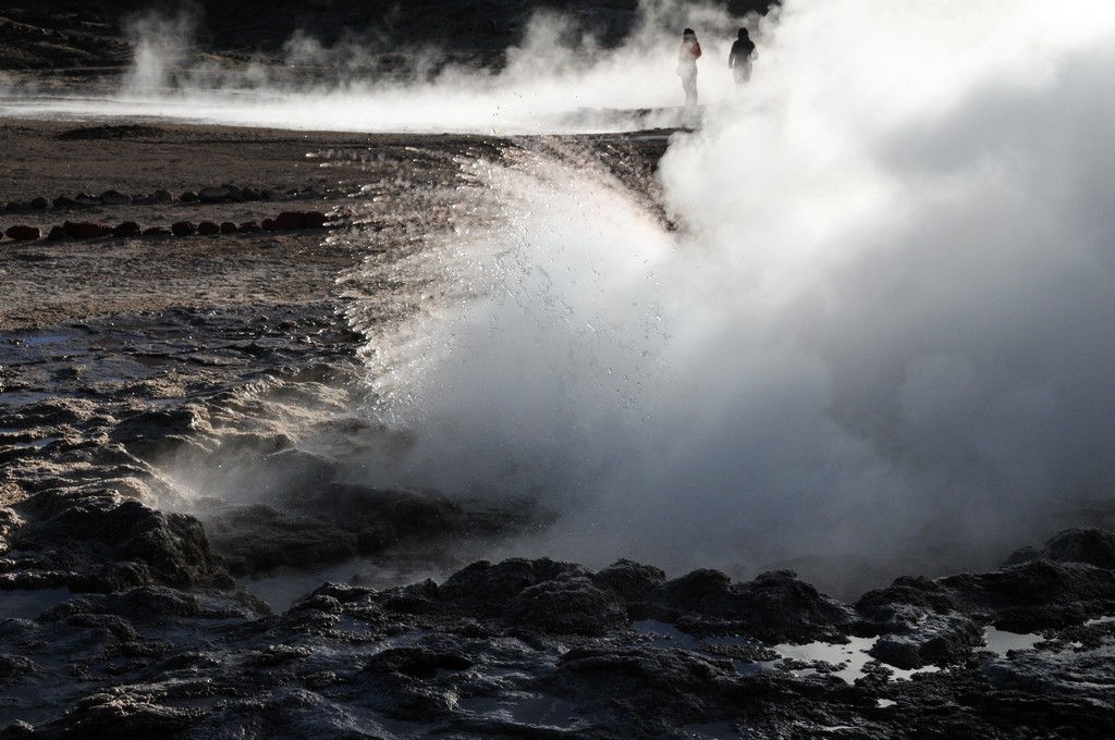
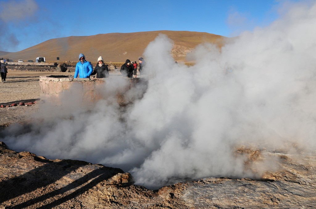
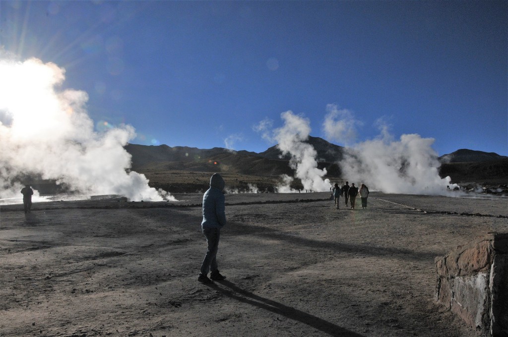
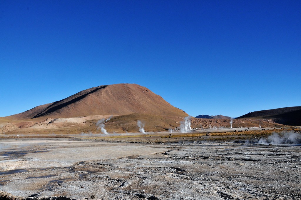
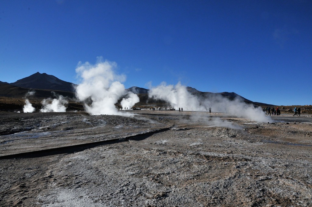
El Tatio is a geyser field located within the Andes Mountains of northern Chile at 14,000 feet above mean sea level. Various etymologies have been proposed for the system, including "oven" but also "grandfather". It is the third-largest geyser field in the world and the largest in the southern hemisphere.
El Tatio lies at the western foot of a series of strato volcanoes which run along the border between Chile and Bolivia. This series of volcanoes is part of the Central Volcanic Zone, one of several volcanic belts in the Andes, and there are no recorded historical eruptions at the Tatio volcanoes.
El Tatio is also part of the Altiplano-Puna volcanic complex, a system of large calderas and associated ignimbrites which have been the sources of supereruptions. Some of these calderas may be the source of heat for the El Tatio geothermal system.
El Tatio itself is a geothermal field with many geysers, hot springs, and associated sinter deposits. These hot springs eventually form the Rio Salado, a major tributary of the Rio Loa river, and a major source of arsenic pollution in the river. The vents are sites of populations of extremophile microorganisms and have been studied as analogs for the early Earth and possible past life on Mars.
Presently, the field is a major tourism destination in northern Chile. It was prospected over the last century for the potential of geothermal power production, but such a project was discontinued after a major incident in 2009.
DSC_8479
DSC_8481
DSC_8488
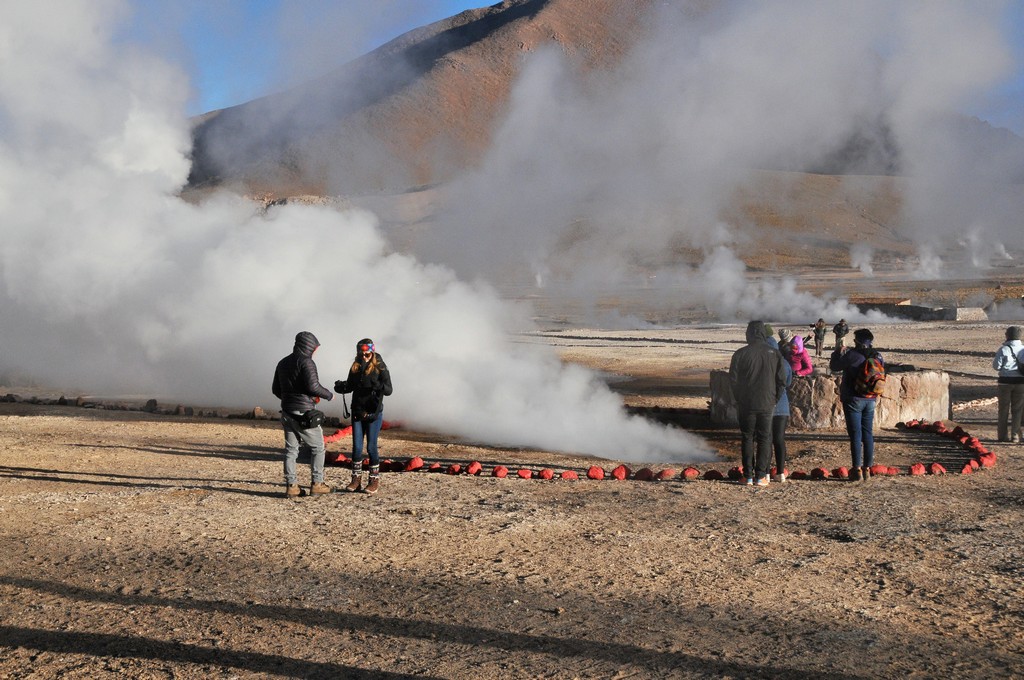
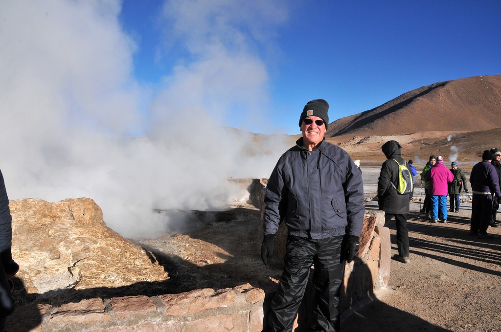
At sunrise and at the altitude of 14,000 feet it was burrrr cold.
DSC_8491
DSC_8492
[Show slideshow]
◄ 1 ... 15 16 17 ... 30 ►
© 2026 Jim Schroder