Jim Schroder's Travel
Home
Trips
Select Page
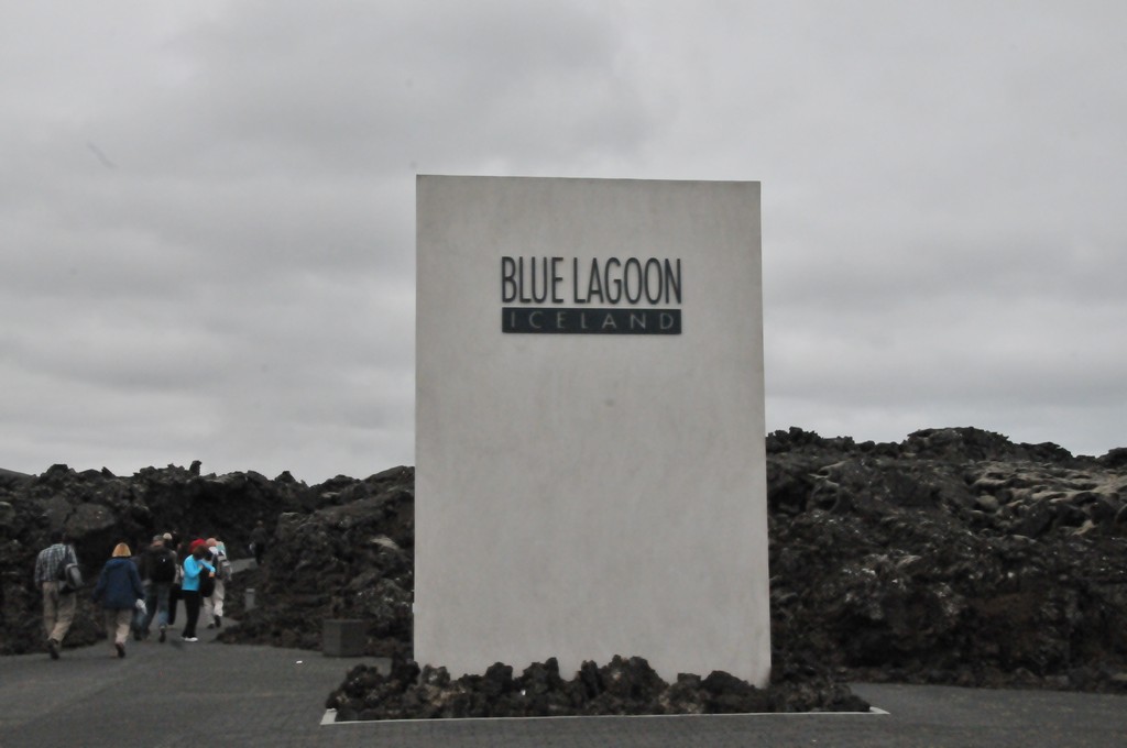
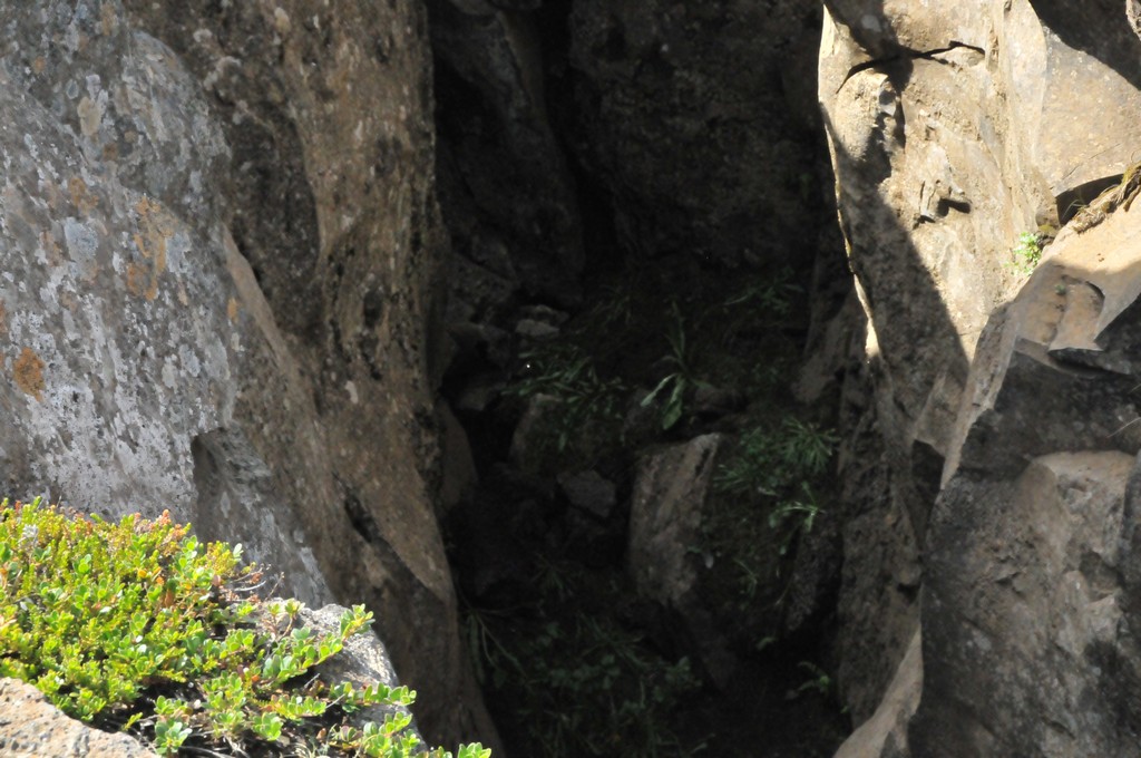
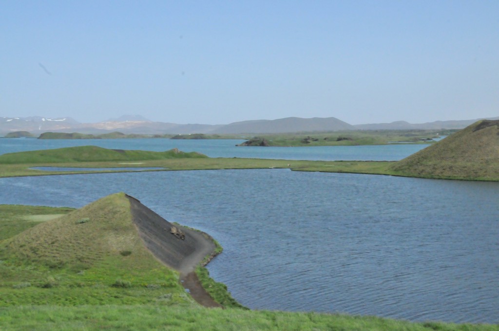
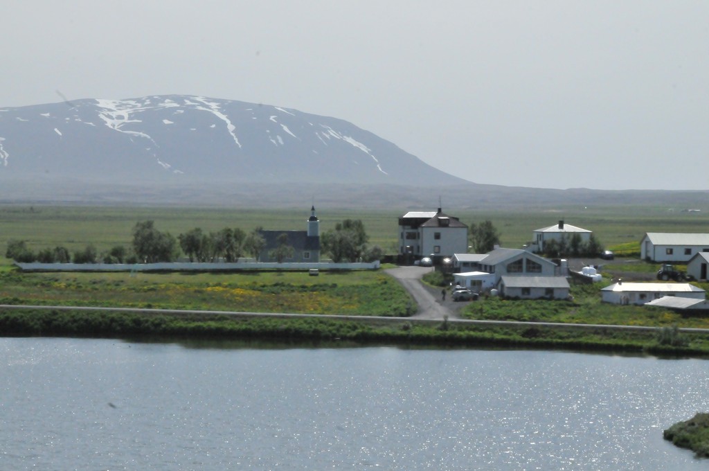
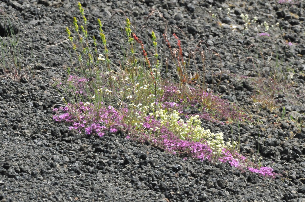
Iceland
[Show thumbnails]


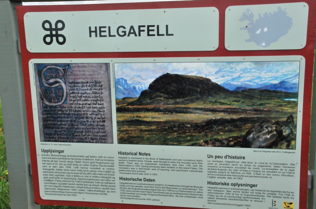
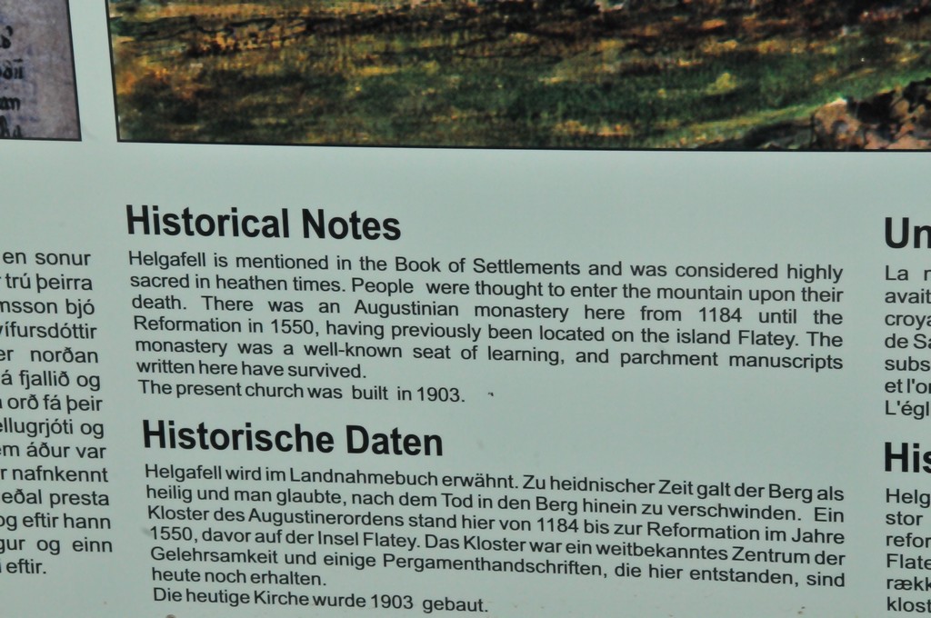
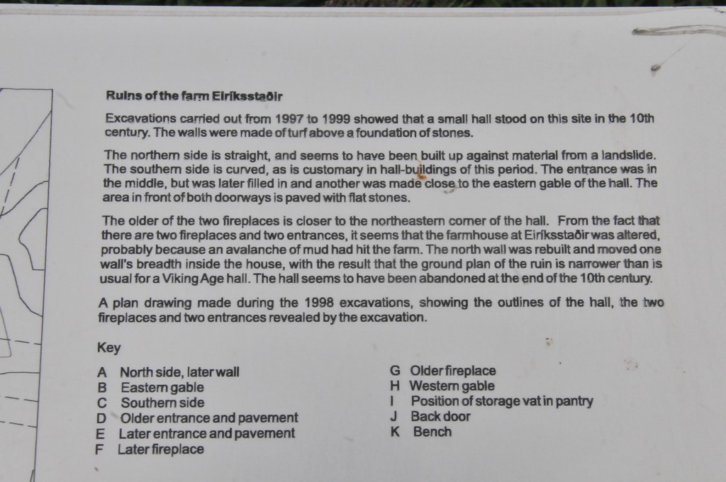
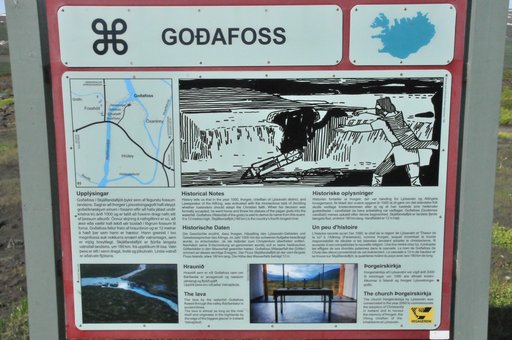
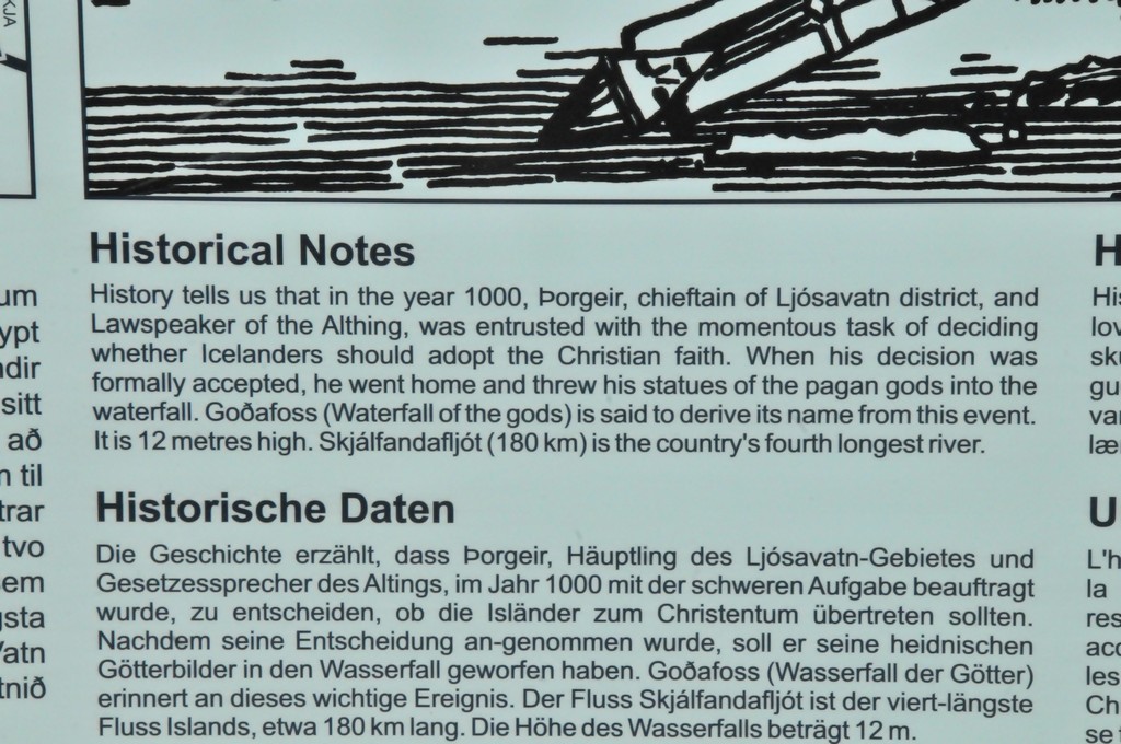
 around 1000 and established a Norse settlement in the new land")


 condenses. ... So the “spout” you see is not a fountain of water; rather, it's a stream of warm air being forced out of the whales lungs, aka the whale's breath.")

 only males, b) mother and calf or c) mother, calf and a few escorting males. The escorting males often follow the mother and calf for a long time waiting for an opportunity to mate. The largest and strongest male keeps the other escorting males away and is therefore the most likely to mate with the female.")


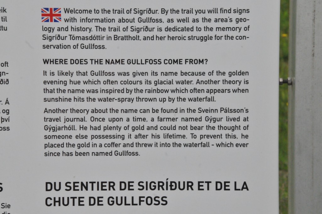
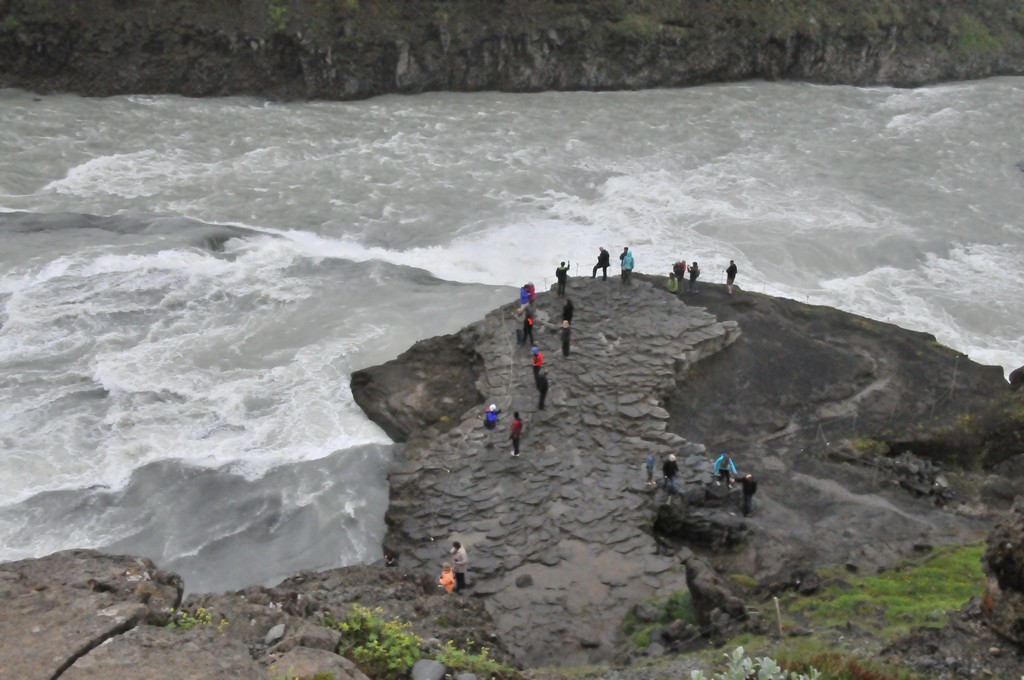
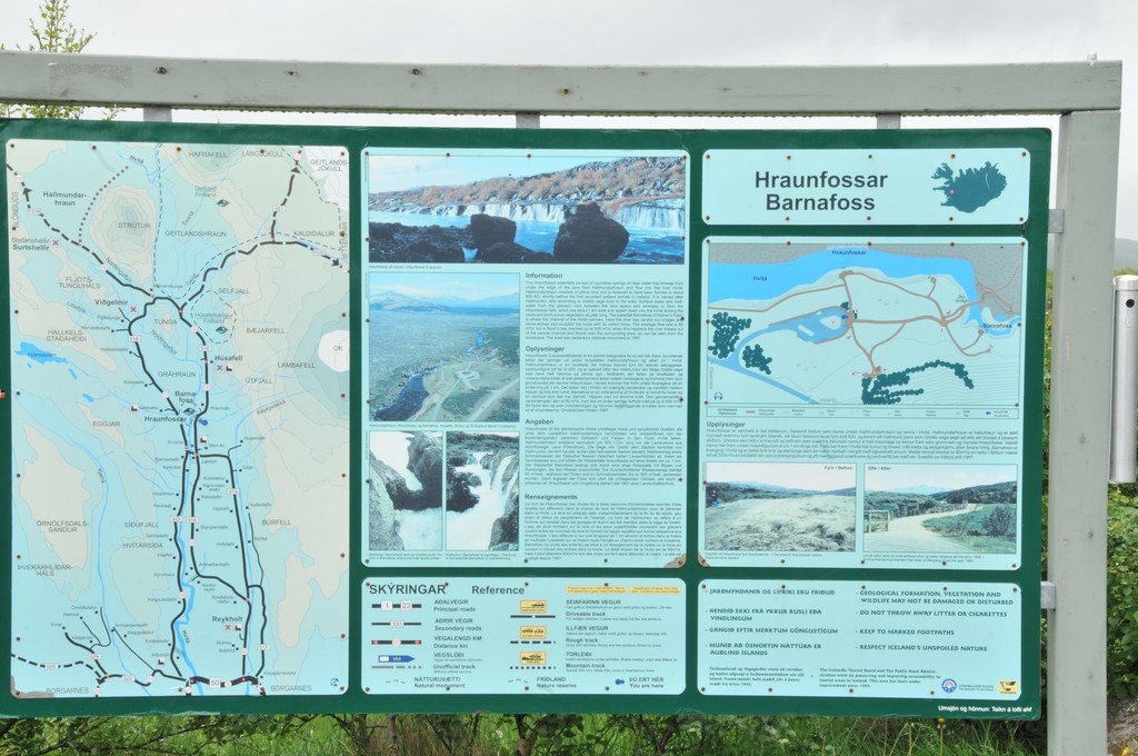
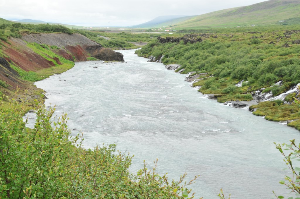
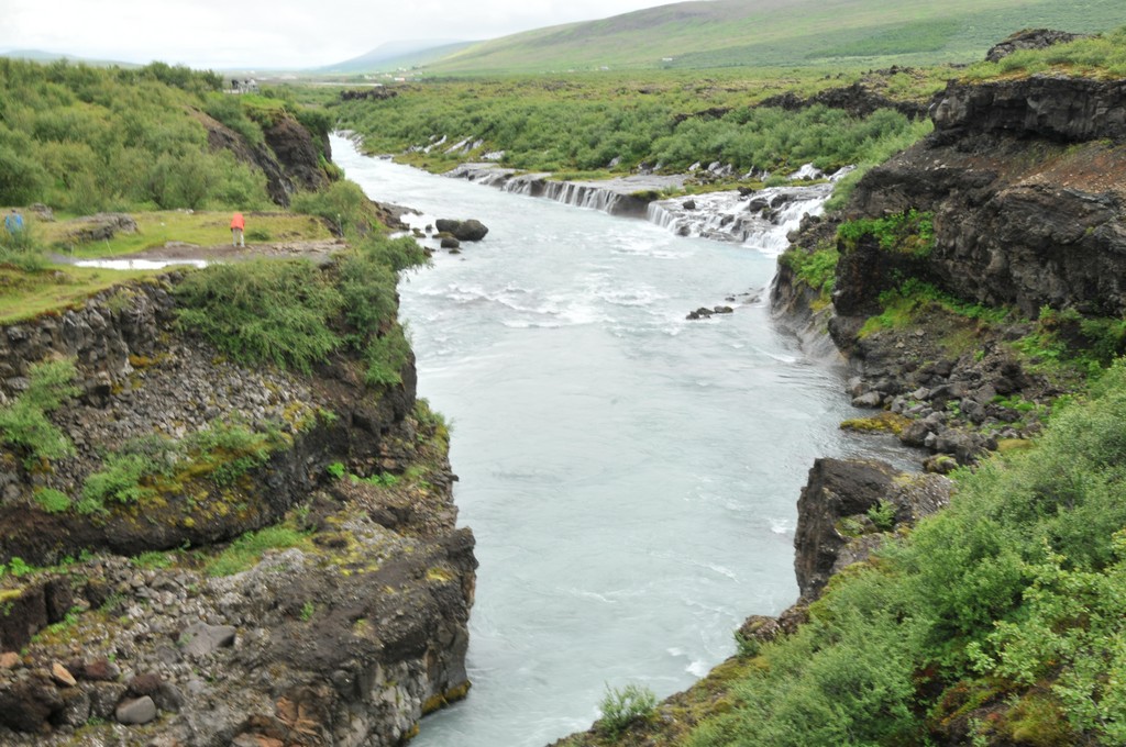
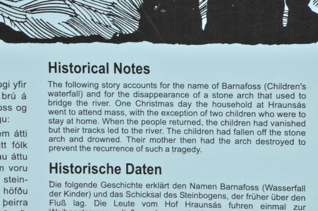
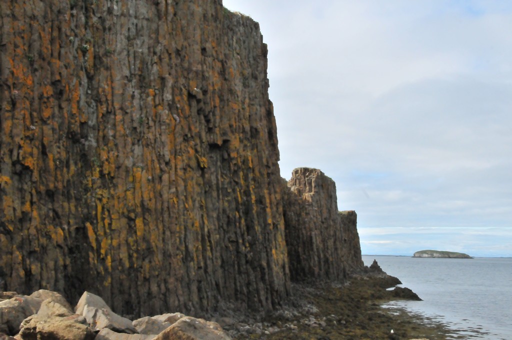
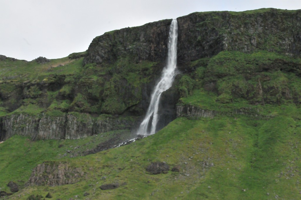
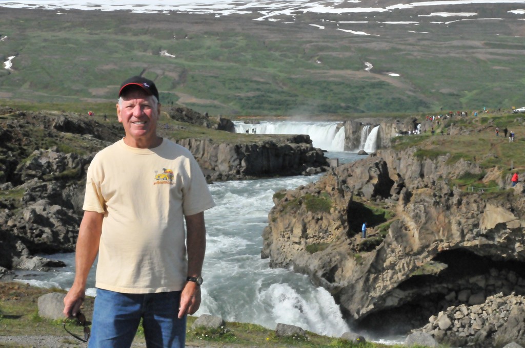
 is a massive waterfall on the river Hvita in western Iceland")