Jim Schroder's Travel
Home
Trips
Select Page
Djibouti
[Show thumbnails]
.")


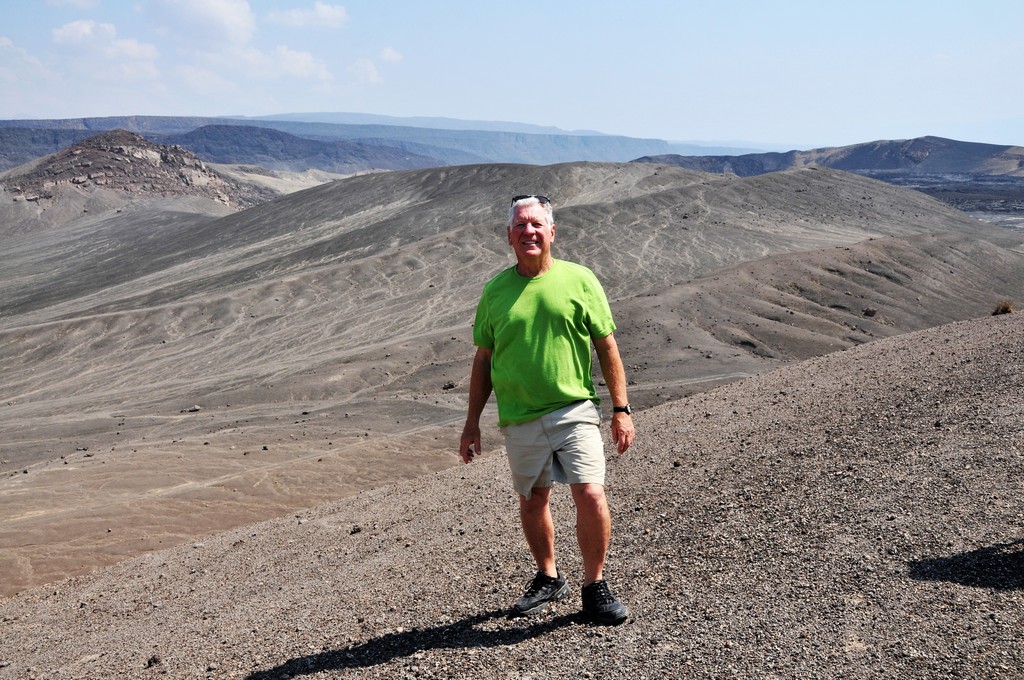
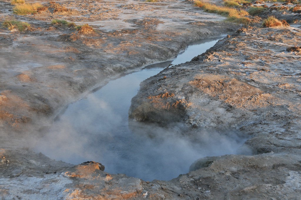
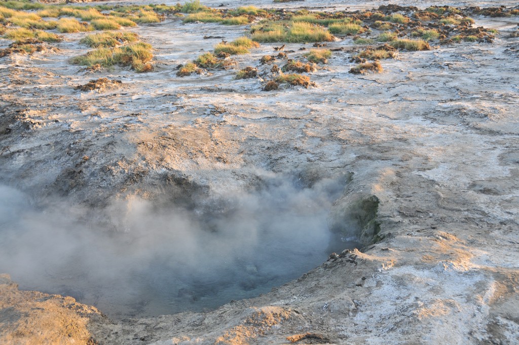
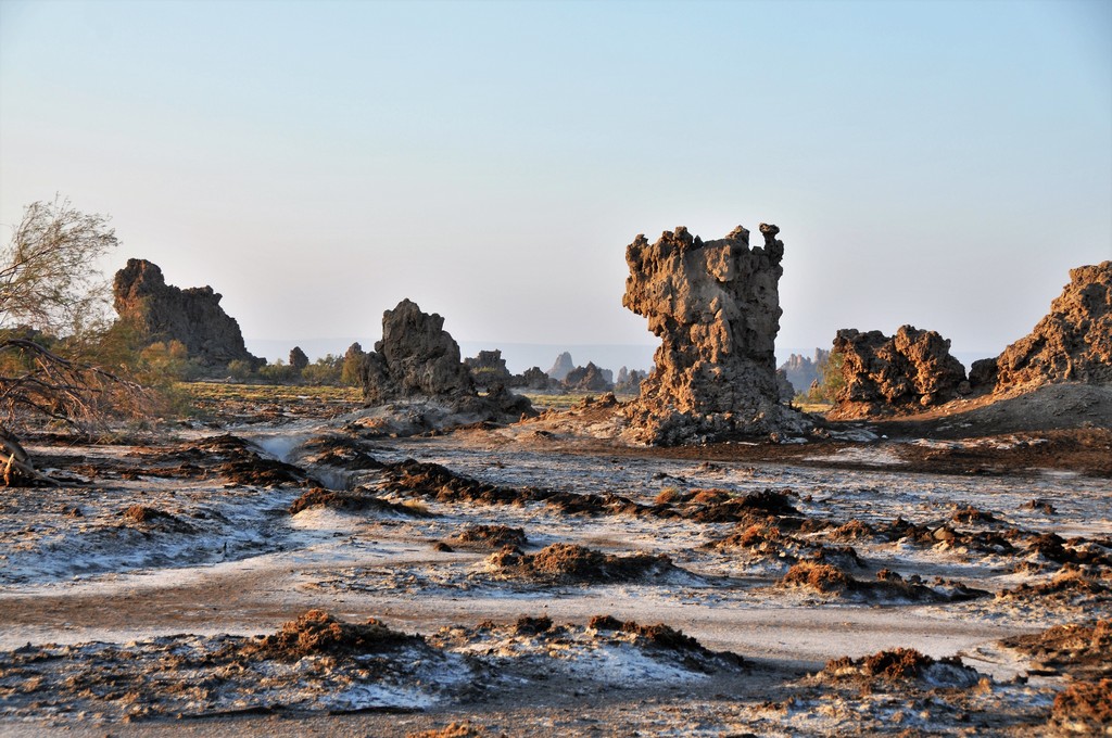
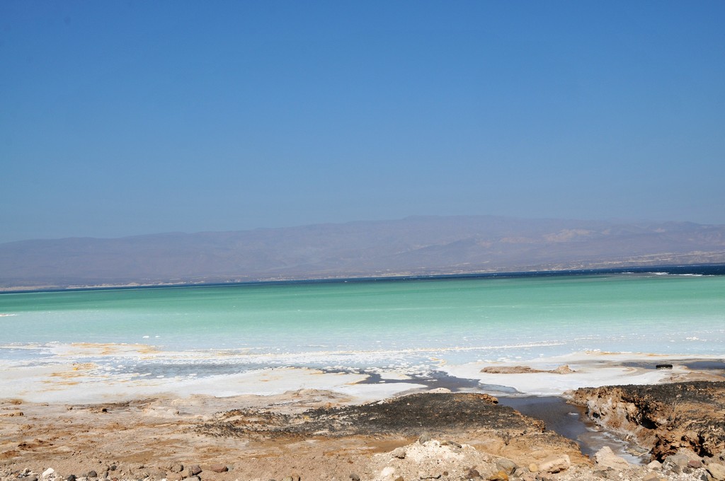
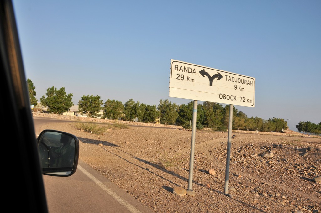
 west of Djibouti city. Lake Assal is a saline lake which lies 155 m (509 ft) below sea level in the Afar Triangle, making it the lowest point on land in Africa and the third-lowest point on Earth after the Sea of Galilee and the Dead Sea")


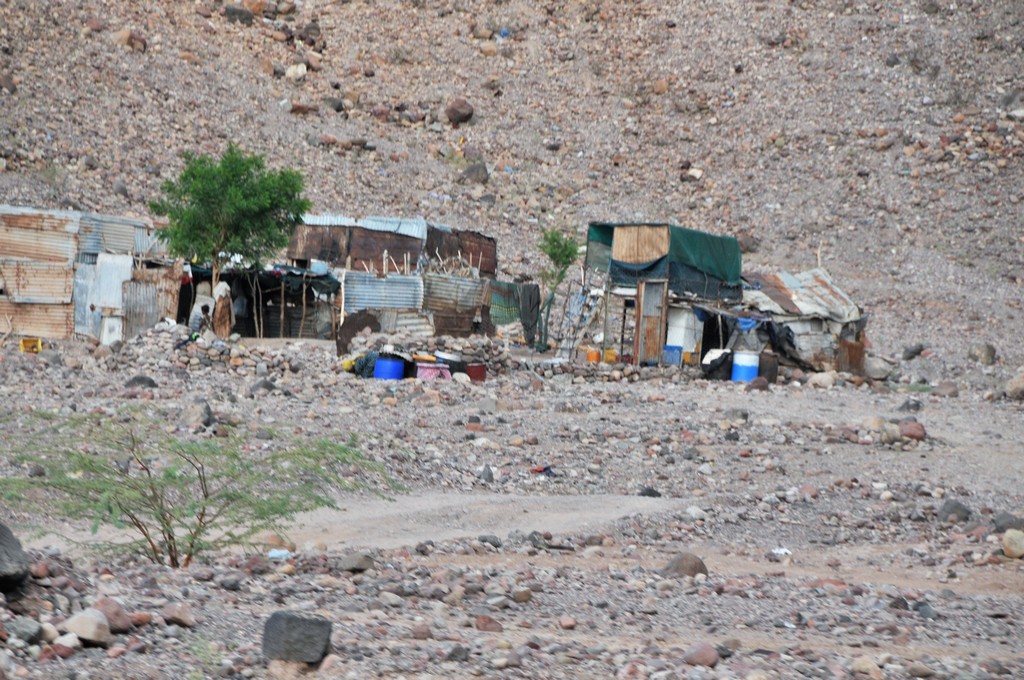
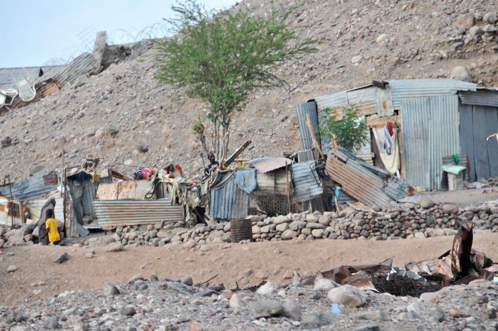


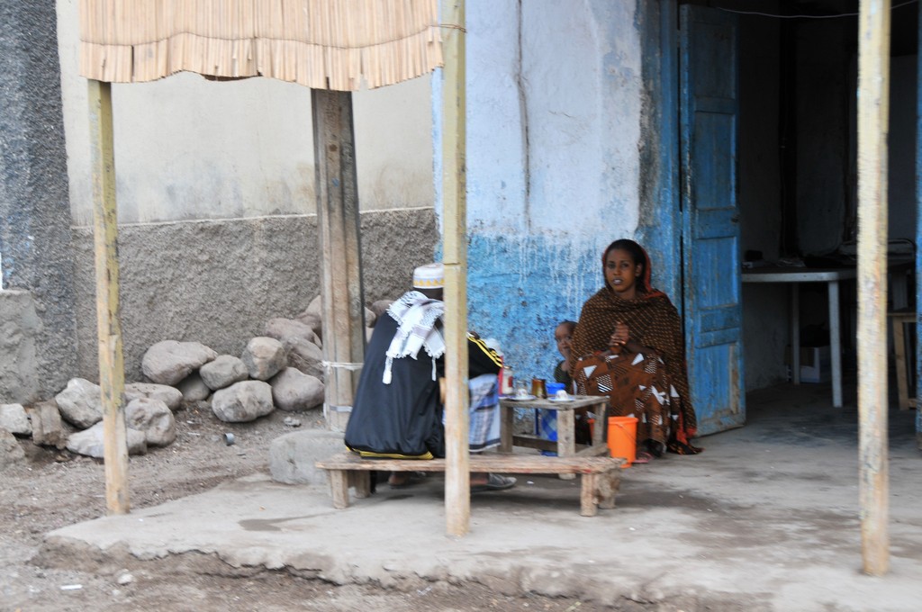


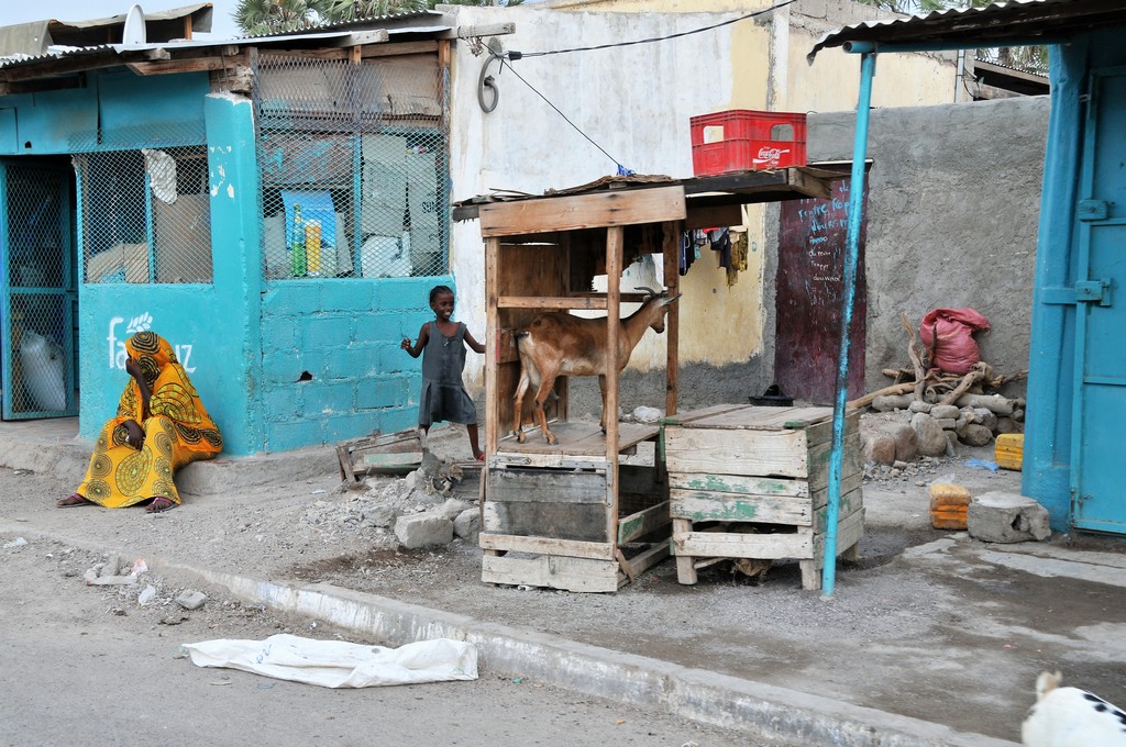
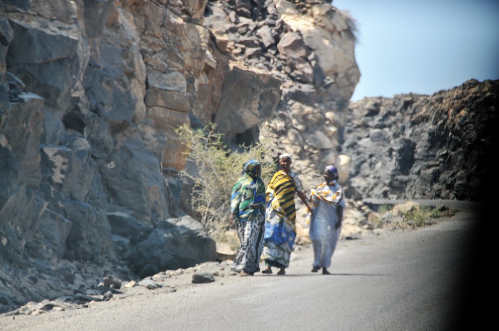
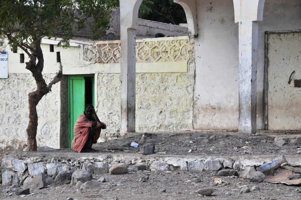
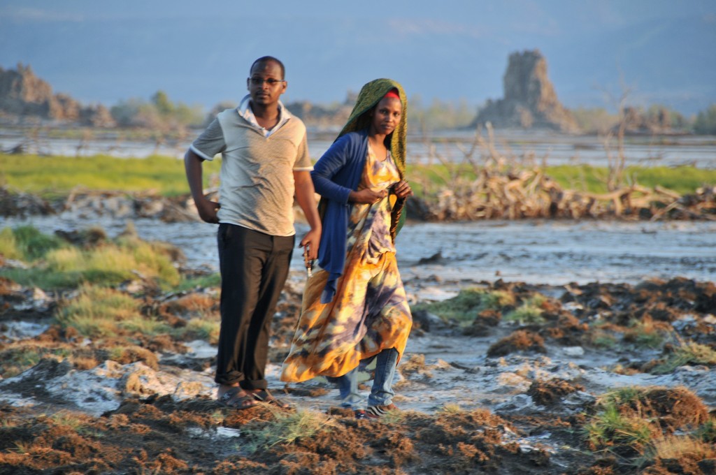
![Tadjoura owed this success to possessing a major slave market; Pankhurst suggests that a rough estimate of 6,000 people a year left Ethiopia through Tadjoura and Zeila.[7]](https://jimschroder.com/wp-content/gallery/djibouti/DSC_3767.jpg?t=1504136892 "Tadjoura owed this success to possessing a major slave market; Pankhurst suggests that a rough estimate of 6,000 people a year left Ethiopia through Tadjoura and Zeila.[7]")