Jim Schroder's Travel
Home
Trips
Select Page
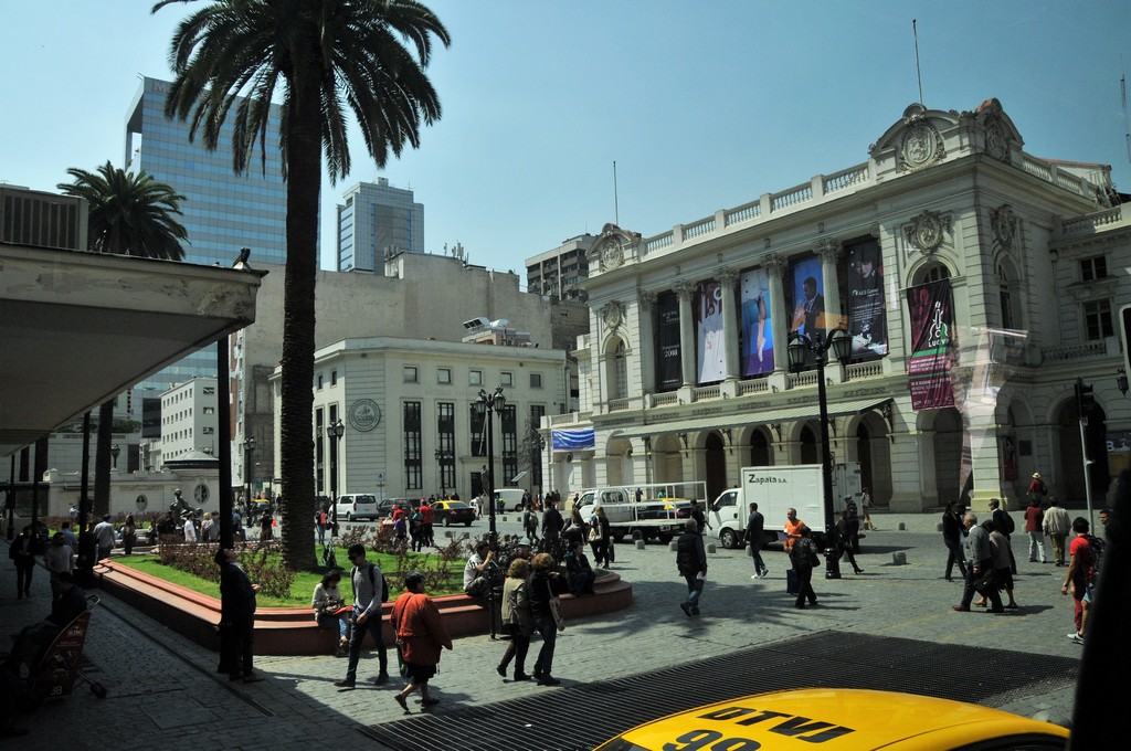
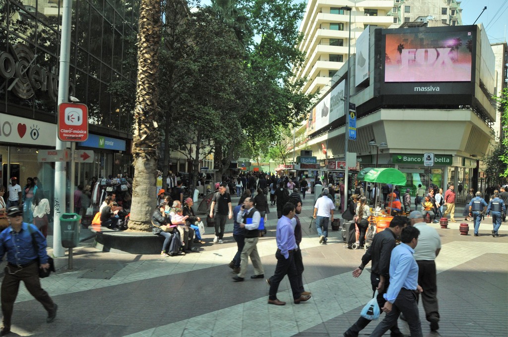
Chile and Easter Island
[Show thumbnails]


, The roman god Mercury steering the boat over the Andes, Roman goddess of victory with a wreath for the victory of freedom.")


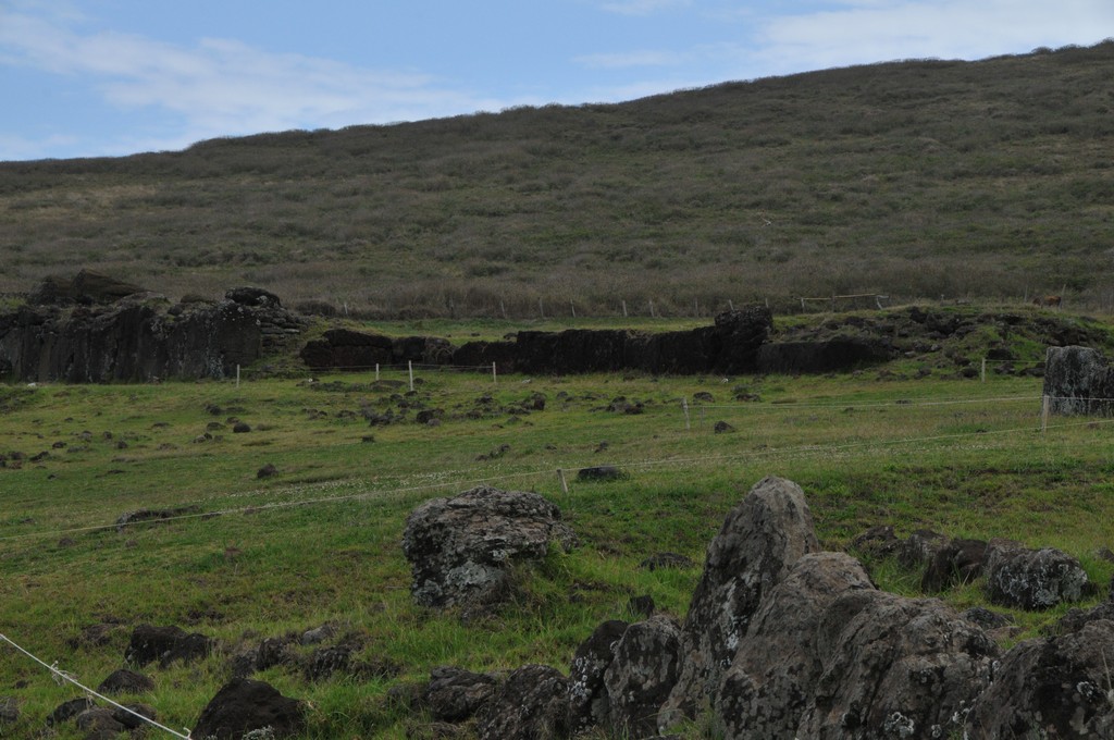
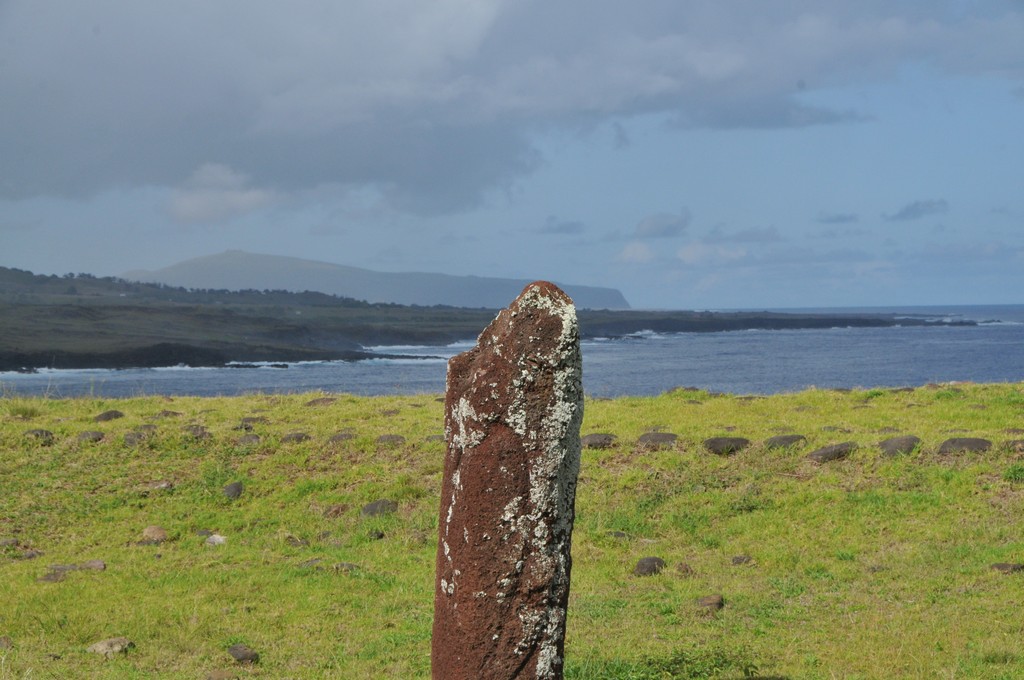
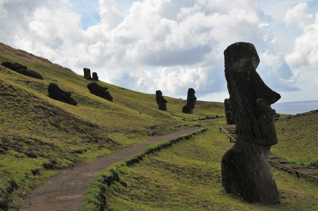
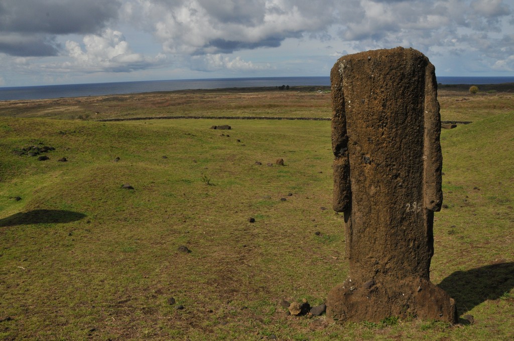
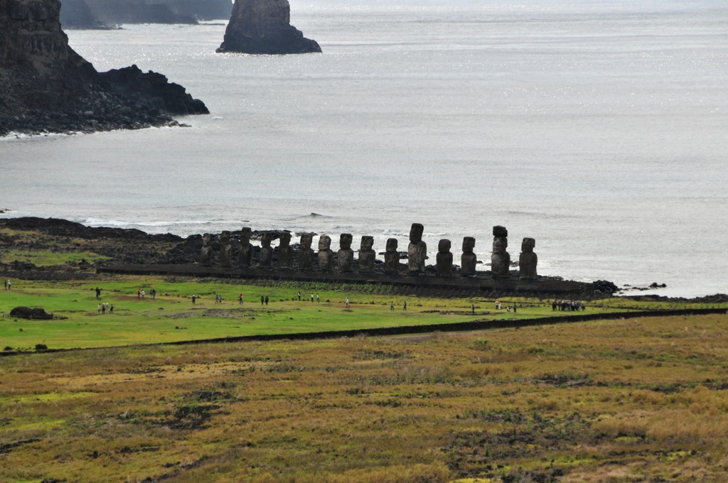
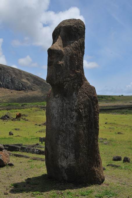
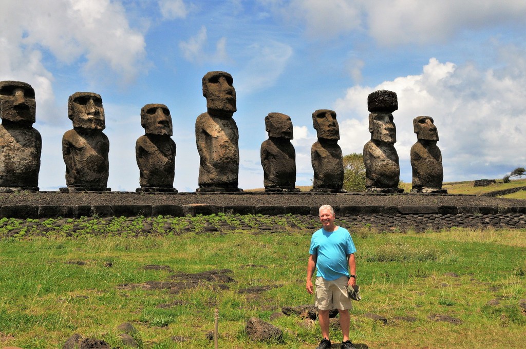
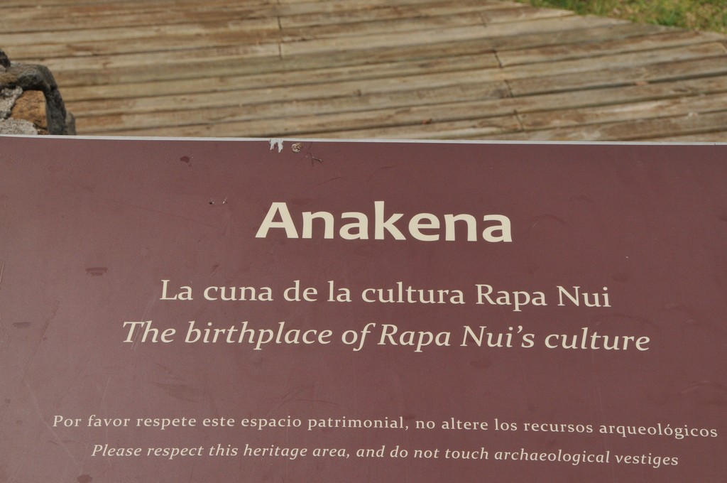
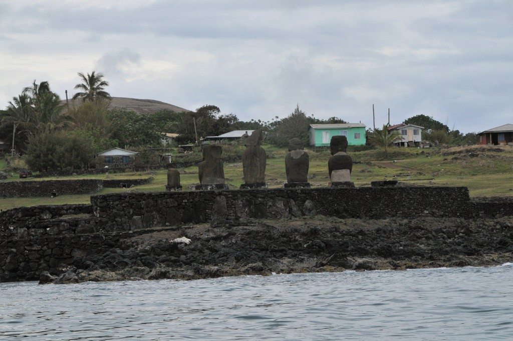
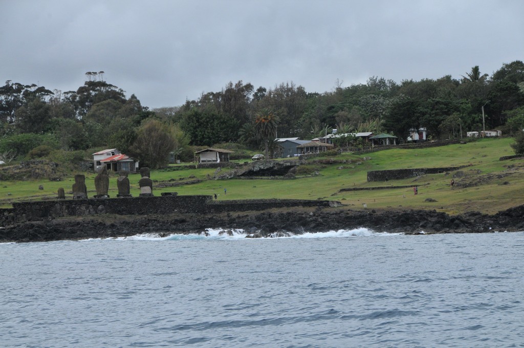
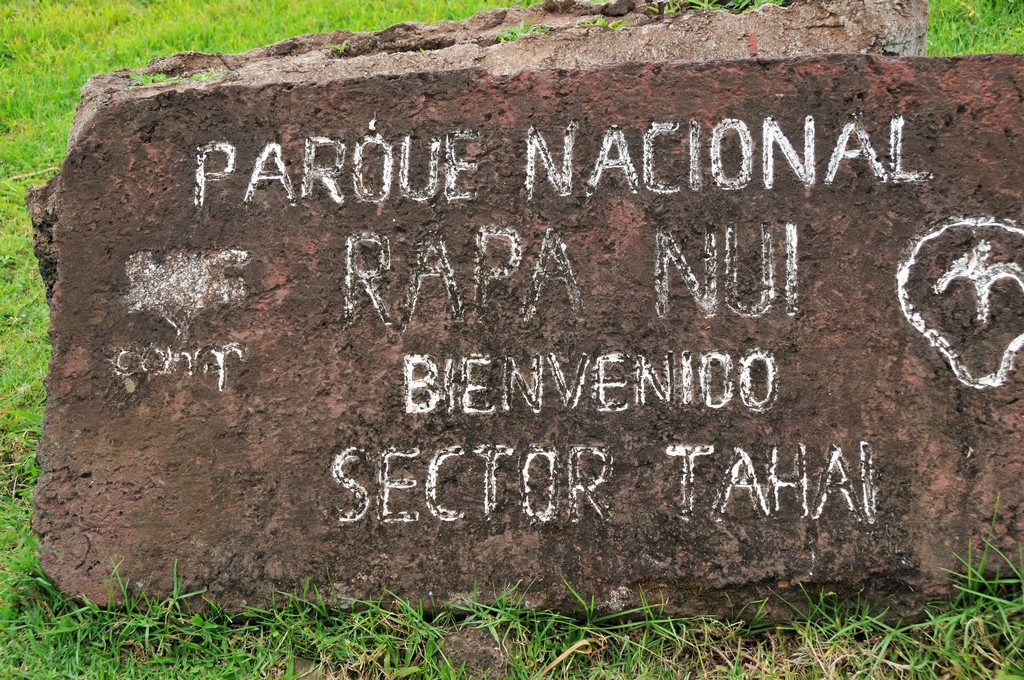
 is a Chilean island in the southeastern Pacific Ocean, at the south eastern most point of the Polynesian Triangle in Oceania. Easter Island is famous for its 887 extant monumental statues, called moai, created by the early Rapa Nui people. In 1995, UNESCO named Easter Island a World Heritage Site, with much of the island protected within Rapa Nui National Park.")
 is Pitcairn Island 1,289 mi away. The nearest town with a population over 500 is Rikitea, on the island of Mangareva, 1,619 mi away. The nearest continental point lies in central Chile, 2,182 mi away.")


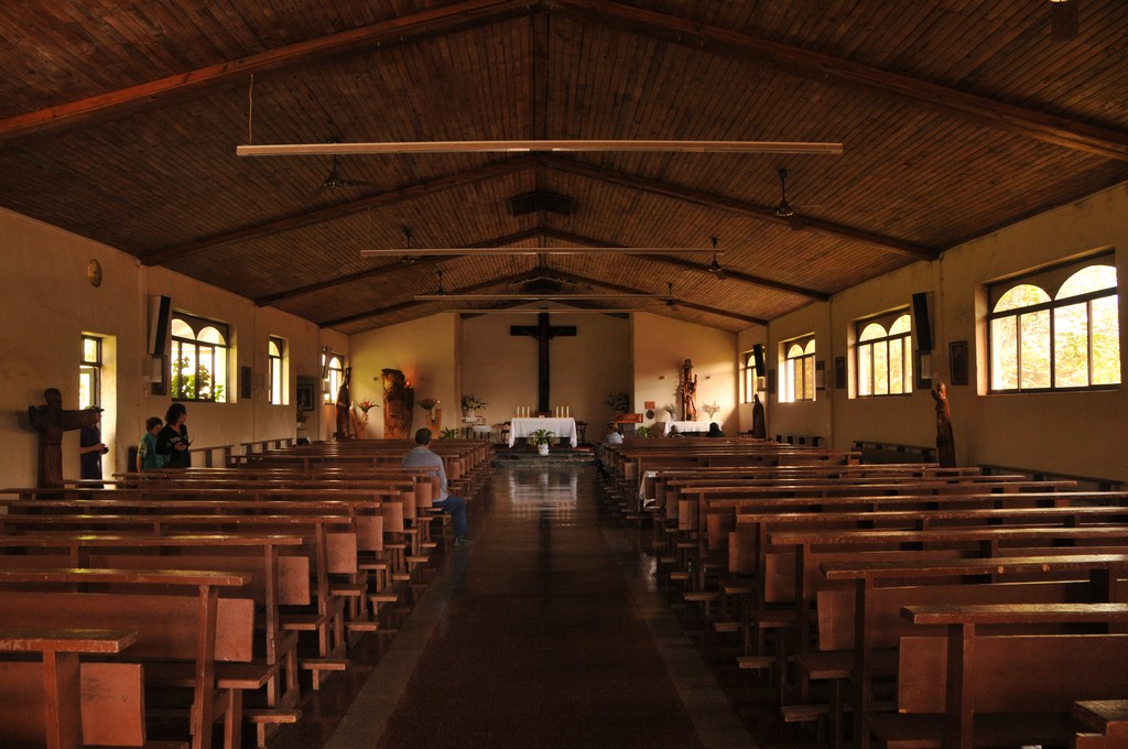
 founded as such in December 1937 and had as its first parish priest Father Sebastian Englert, an essential figure in the study of the customs, language and history of the island.")


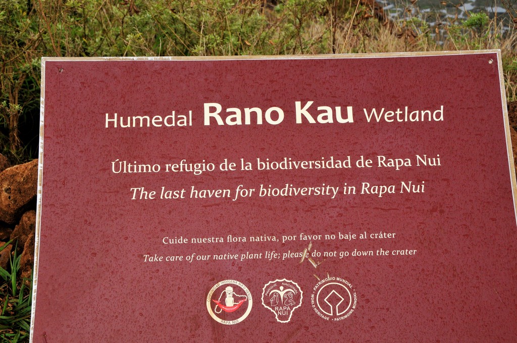
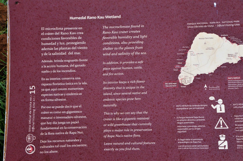
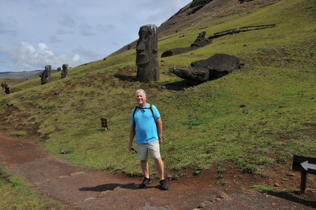
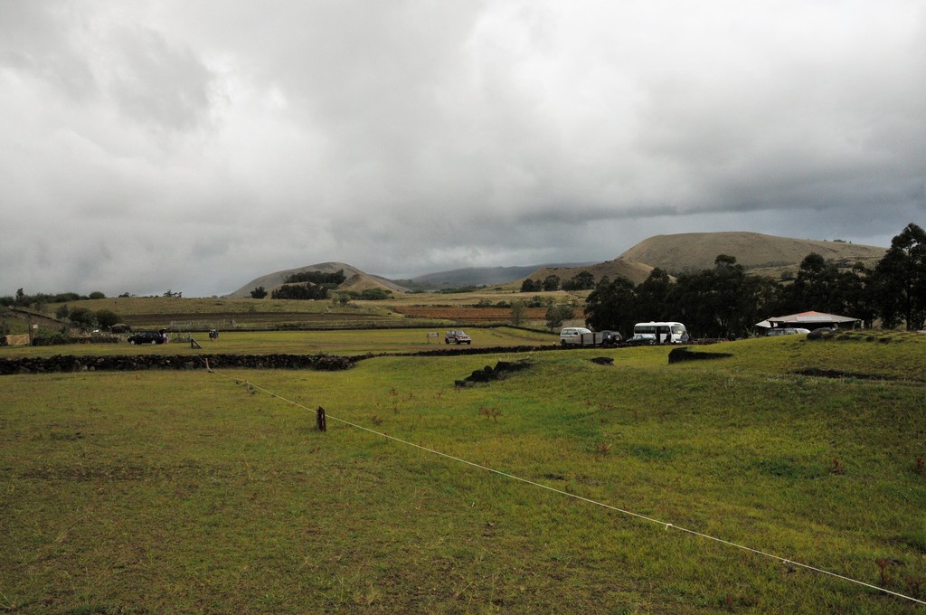
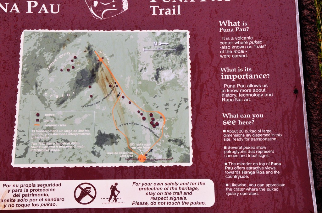
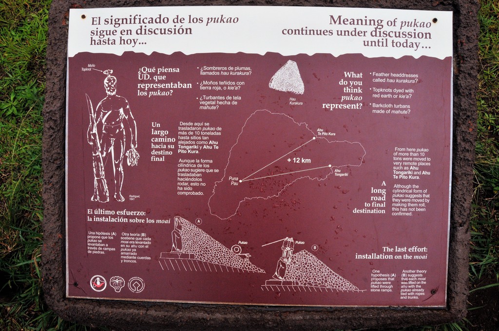
 were carved. Rano Raraku is a visual record of moai design vocabulary and technological innovation, where 397 moai remain. Rano Raraku is in the World Heritage Site of Rapa Nui National Park and gives its name to one of the seven sections of the park.")


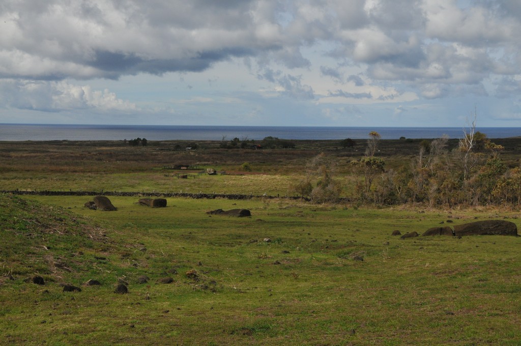
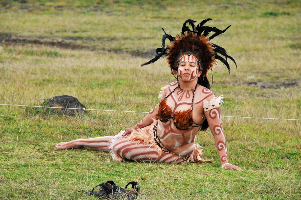
 Because tuff erodes easily, few of the moai's original designs remain. Moai that were buried retain some original markings, which are similar to Rapa Nui tattoos of the period.")


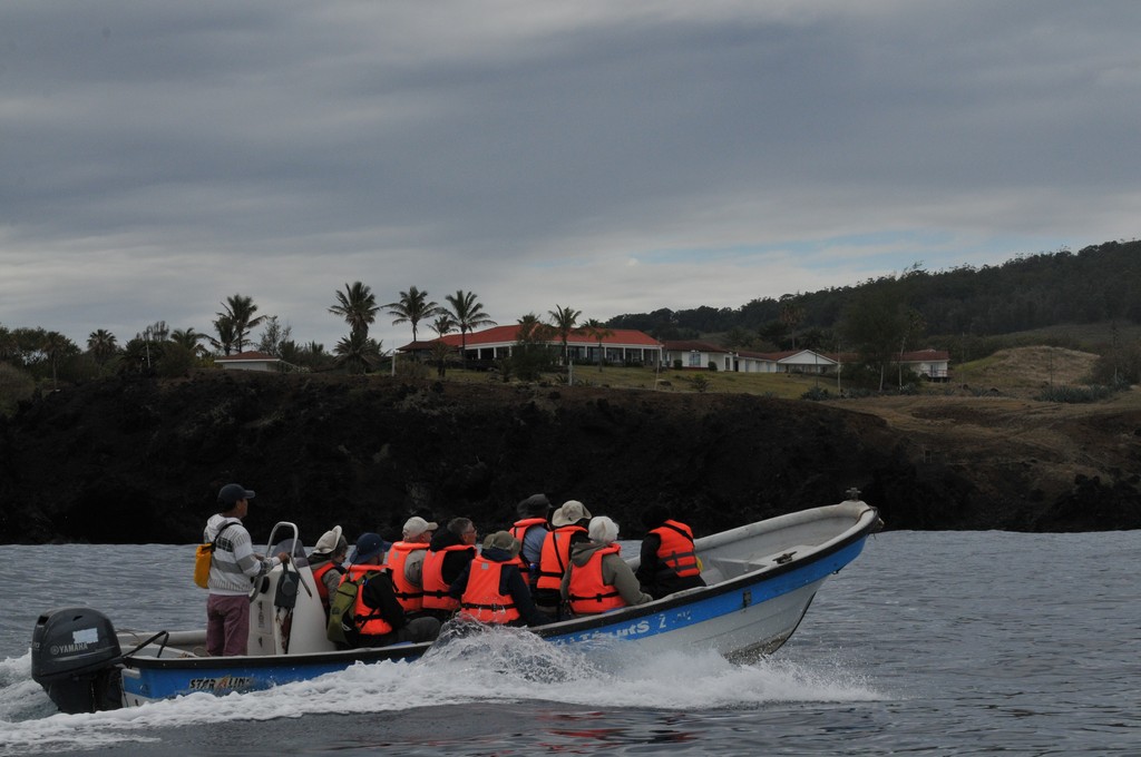
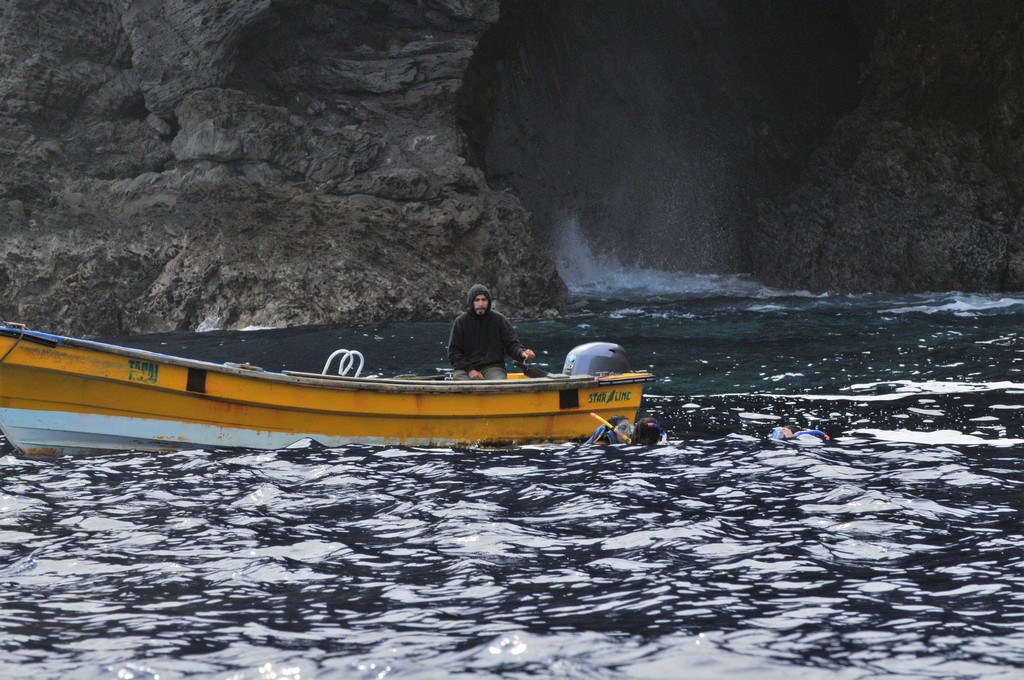
 make it an ideal place for rest and leisure. We stopped here and I went swimming for about 45 minutes.")


. Translation is Hello, Good morning, Goodbye.")


 the Polynesian rat, a creature that reproduces rapidly and which the Polynesians sometimes consumed. This species had no natural enemies on the island and may have played a major role in deforestation.
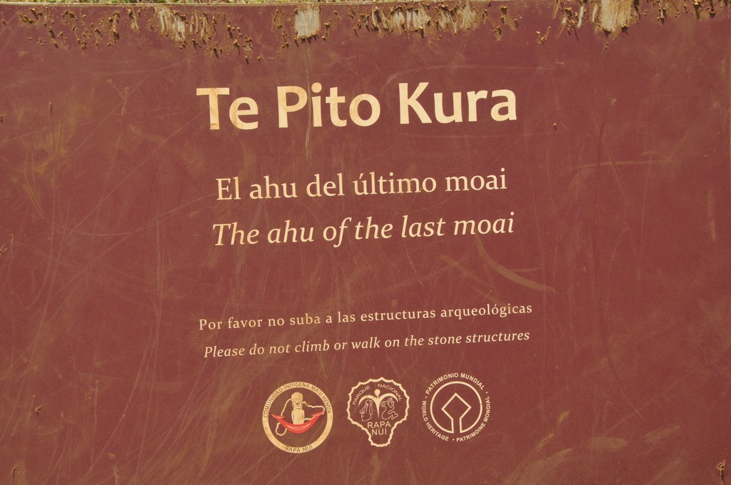
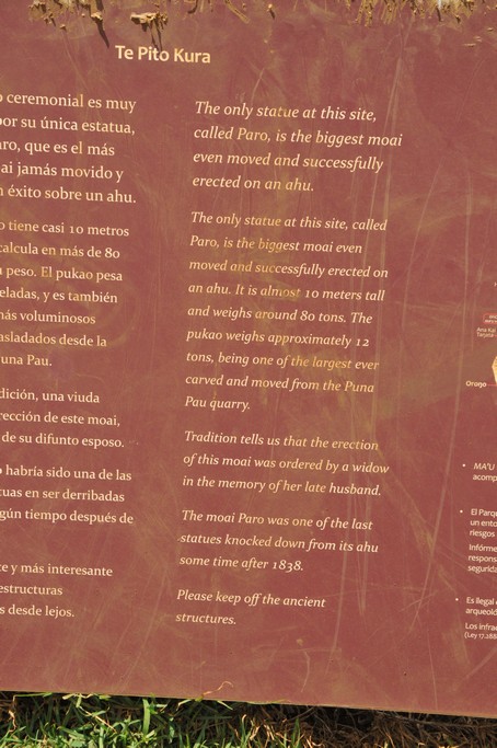
The popular claim that the island’s palm trees were felled to create devices to move the moai statues is probably incorrect. According to ancient stories the statues “walked” from the quarries to their place on stone platforms (known as ahu) and, indeed, research has shown that two small teams using ropes can move the statues vertically")
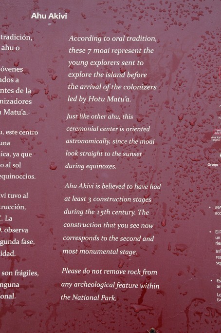


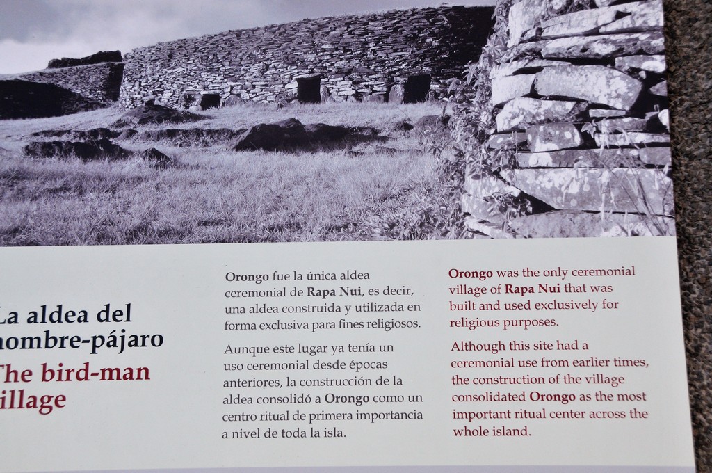
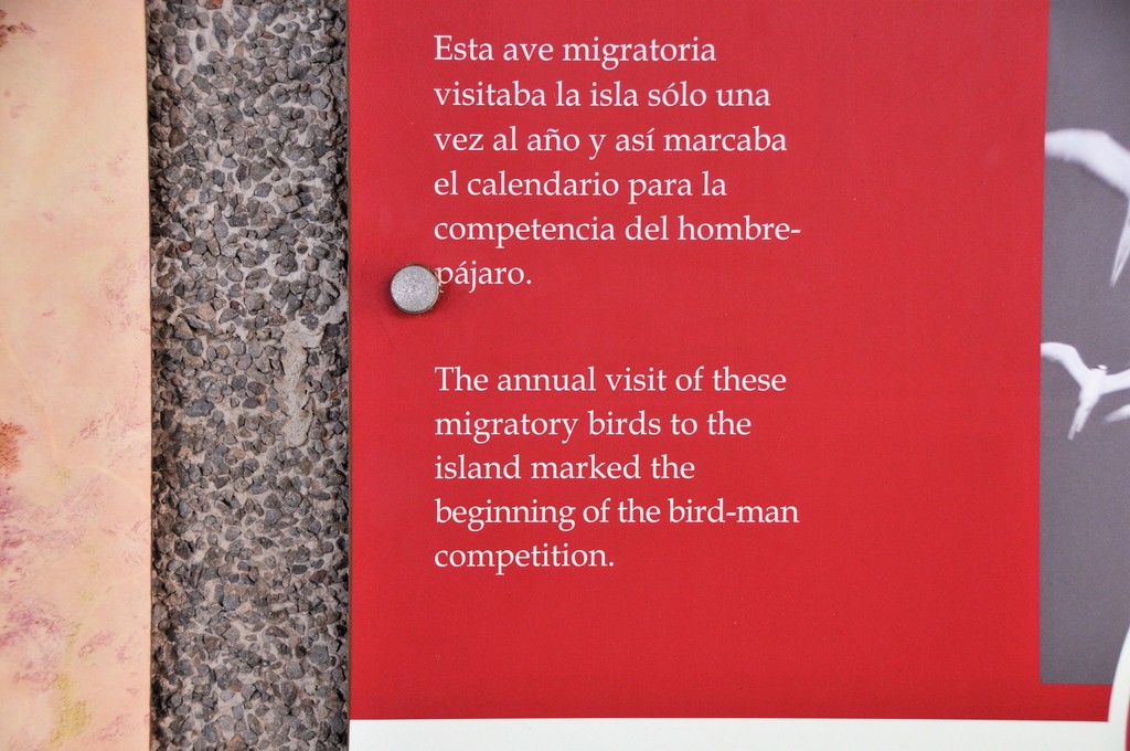
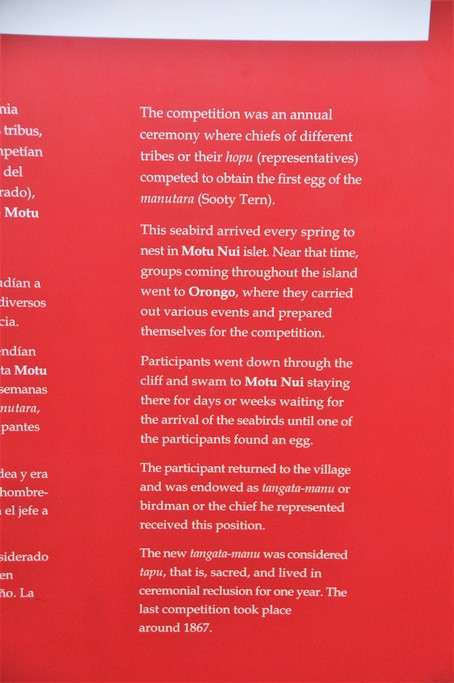
 towards the west of the central platform. A cremation ground existed behind the central platform. The second phase of construction was elaborately planned and implemented in the early years of the 17th century when the platform was modified, a ramp was created, seven statues of equal size were erected. Another crematorium was also built. A cave in which people used to reside was also used as tomb during historic times.")


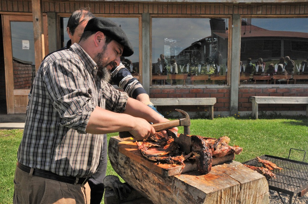
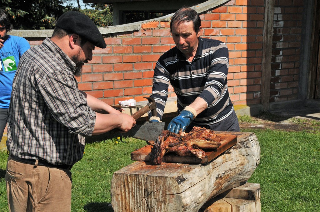
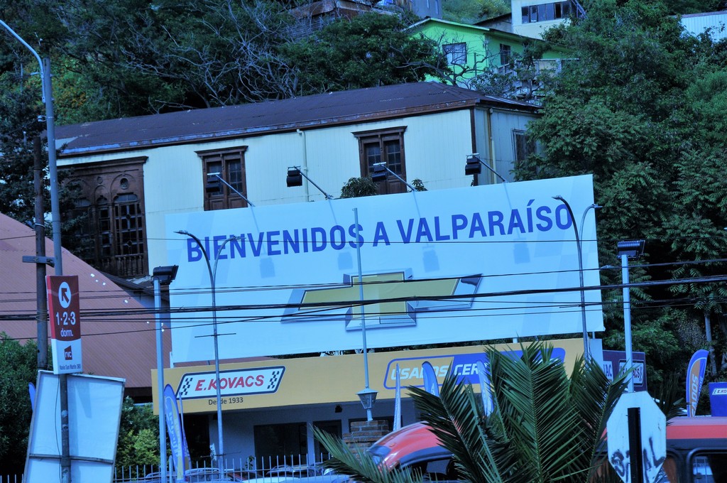
, Vino Munoz Robles, (Munoz Robles Wines), Paseo del Vinos, (Walk of Wines).")


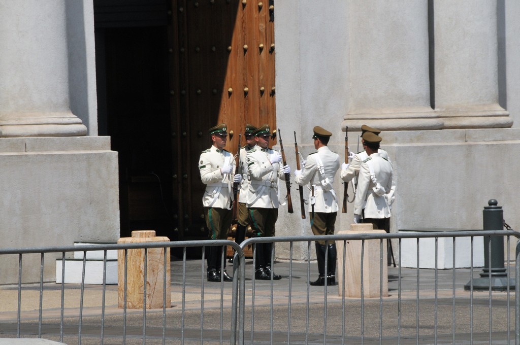
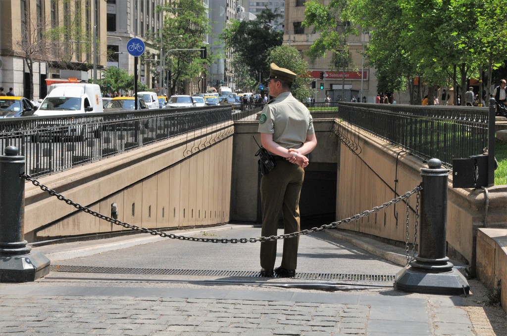
, or simply La Moneda, is the seat of the President of the Republic of Chile. It also houses the offices")


")


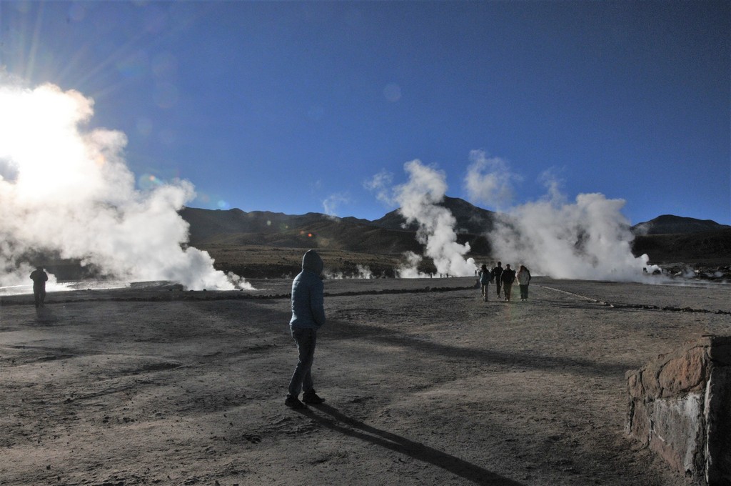
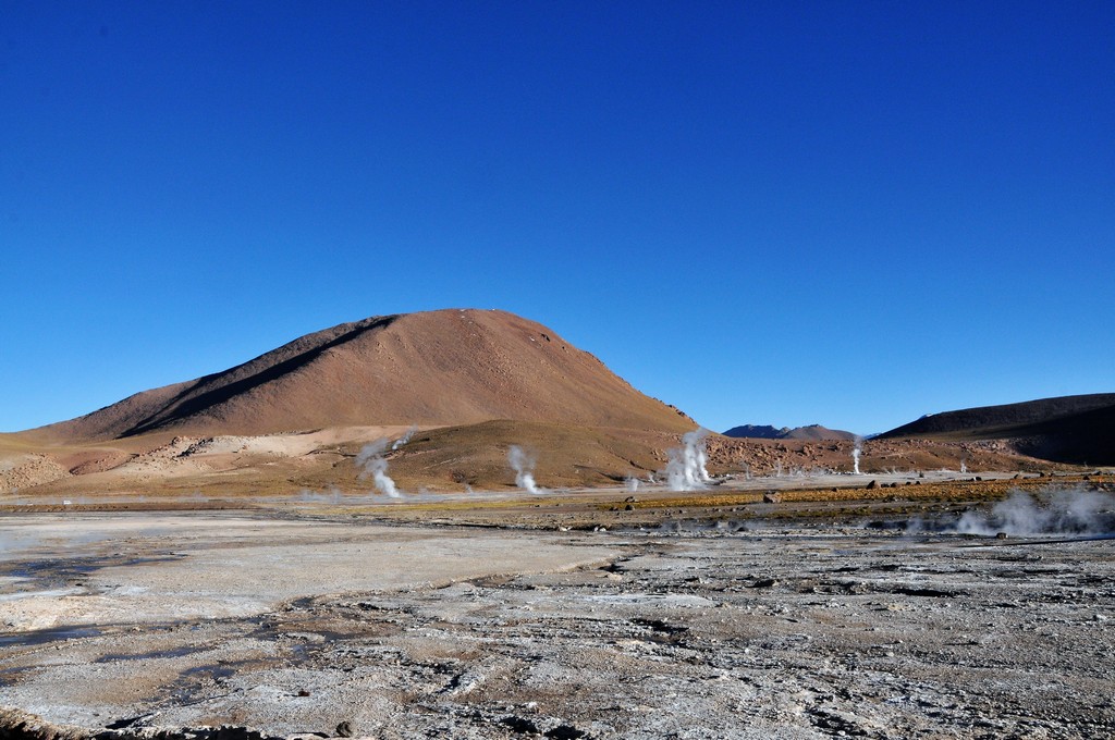
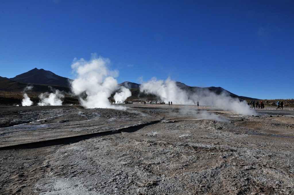
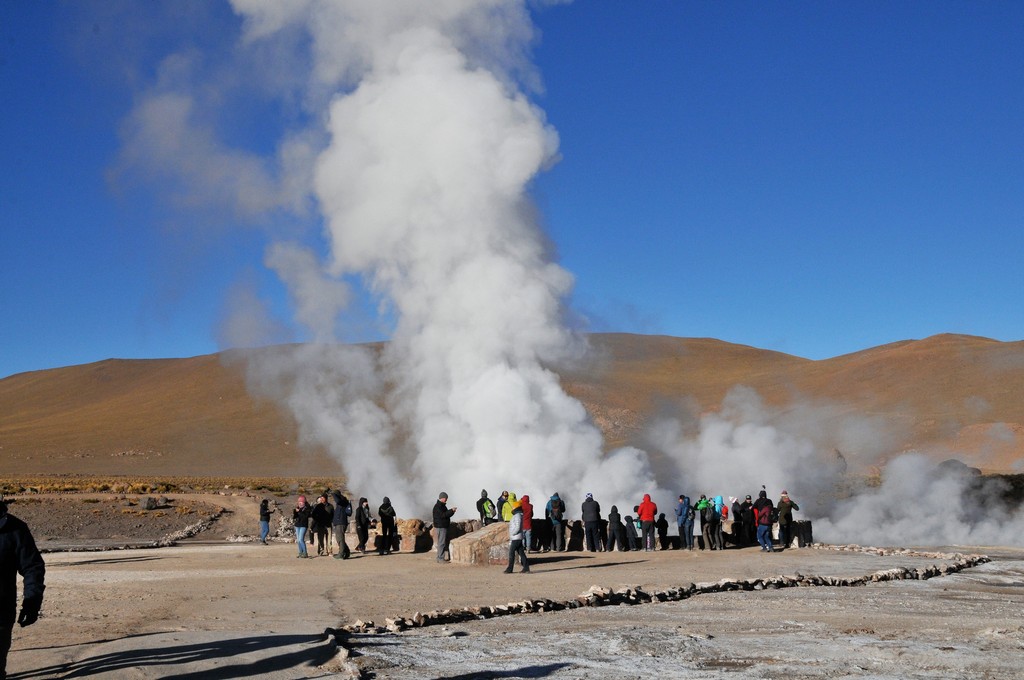
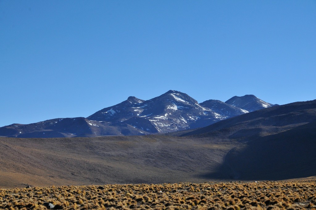
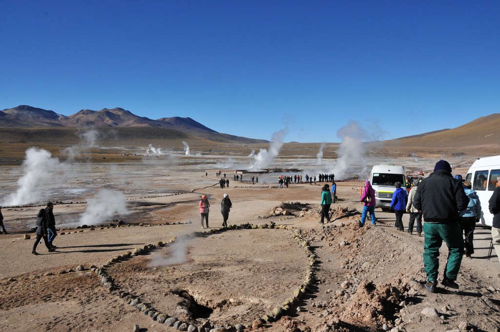
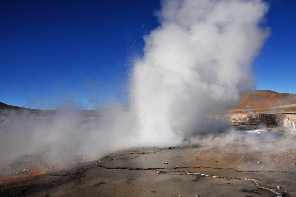
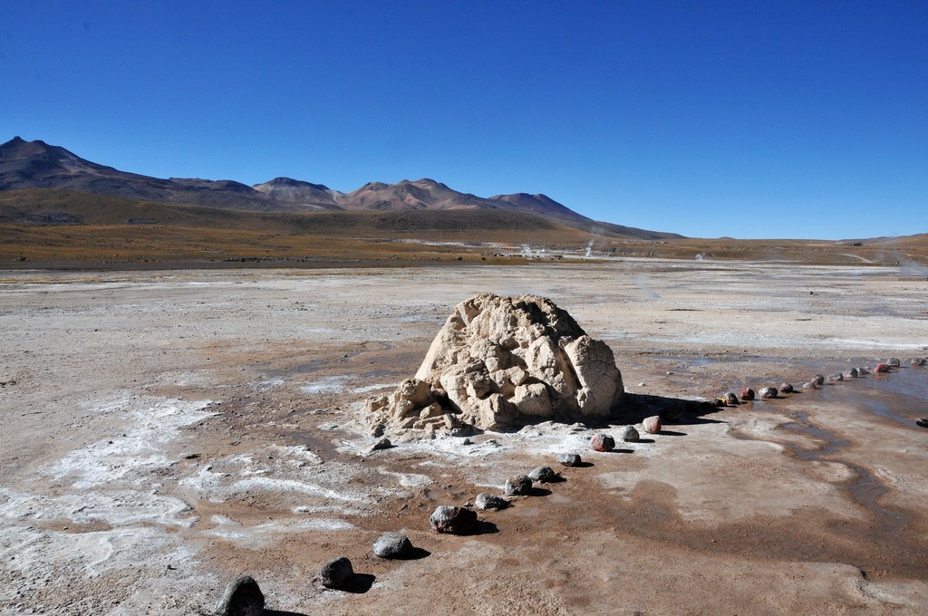
 is an astronomical interferometer of radio telescopes in the Atacama desert of northern Chile. Since a high and dry site is crucial to millimeter and sub-millimeter wavelength operations, the array has been constructed on the Chajnantor plateau at 16,000 feet altitude, near Llano de Chajnantor Observatory and Atacama Pathfinder Experiment. Consisting of sixty-six 39 feet and 23 feet diameter radio telescopes observing at millimeter and sub-millimeter wavelengths, ALMA is expected to provide insight on star birth during the early universe and detailed imaging of local star and planet formation.")

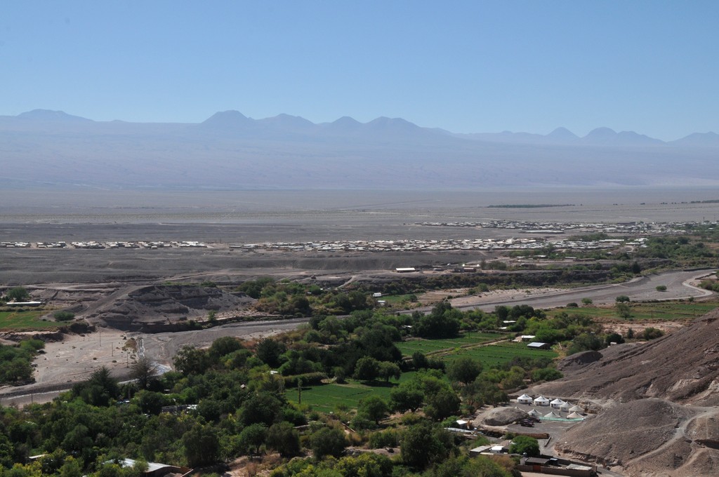
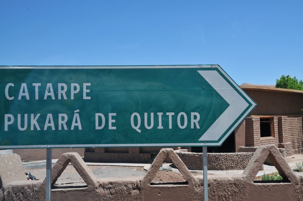
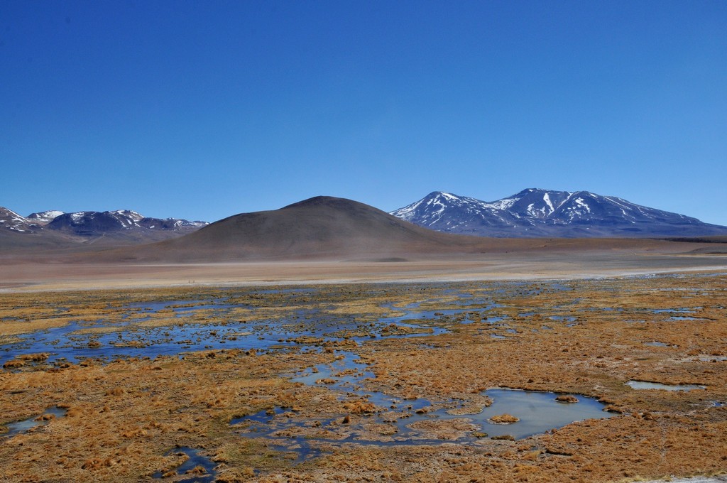
es south of San Pedro de Atacama in the San Pedro de Atacama province of Chile's northern Antofagasta Region. It lies at an elevation of 2,485 m (8,153 ft) above sea level, close to the northeast margin of the Salar de Atacama. The most notable building in Toconao is its church. The bell tower is separated from the main church structure and dates from 1750.")
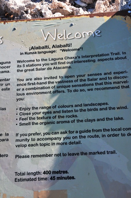
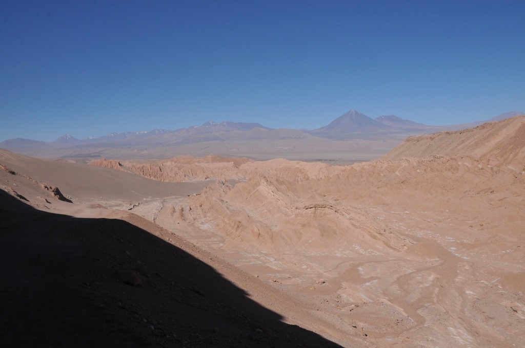
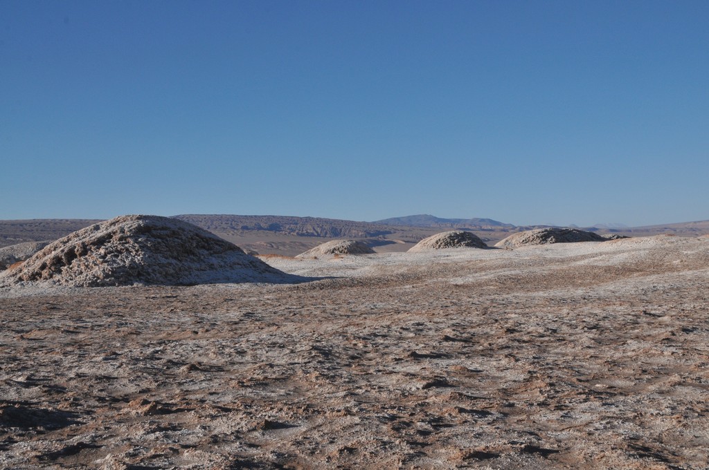
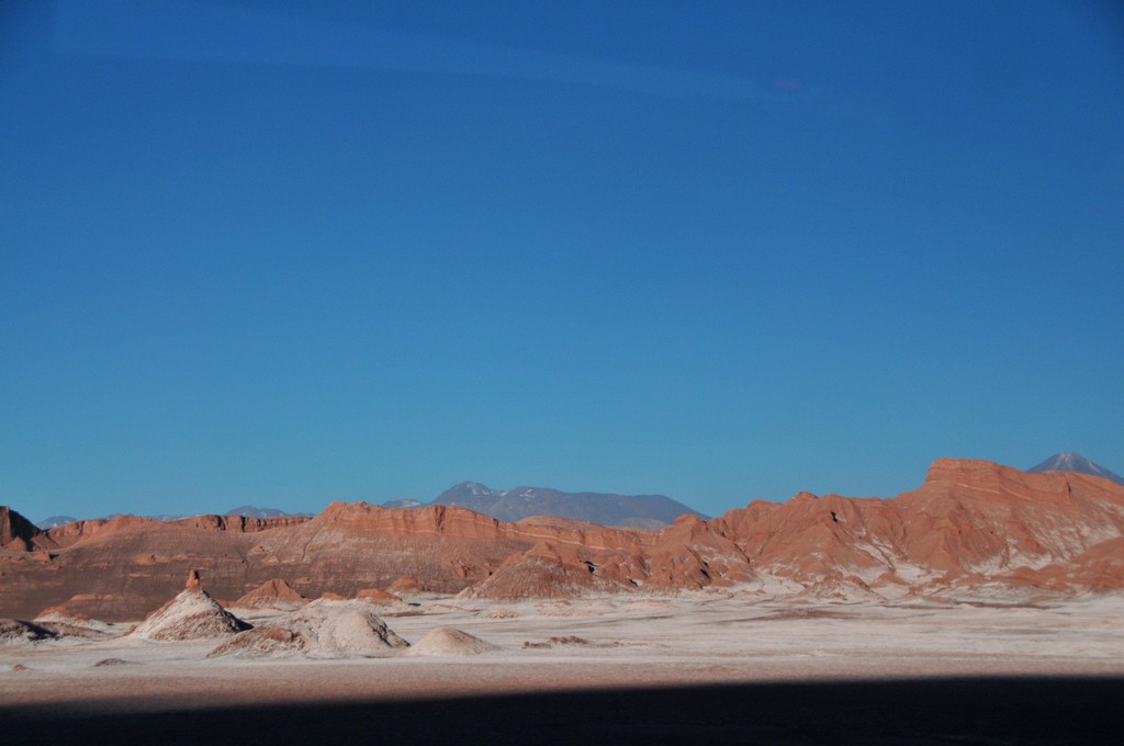
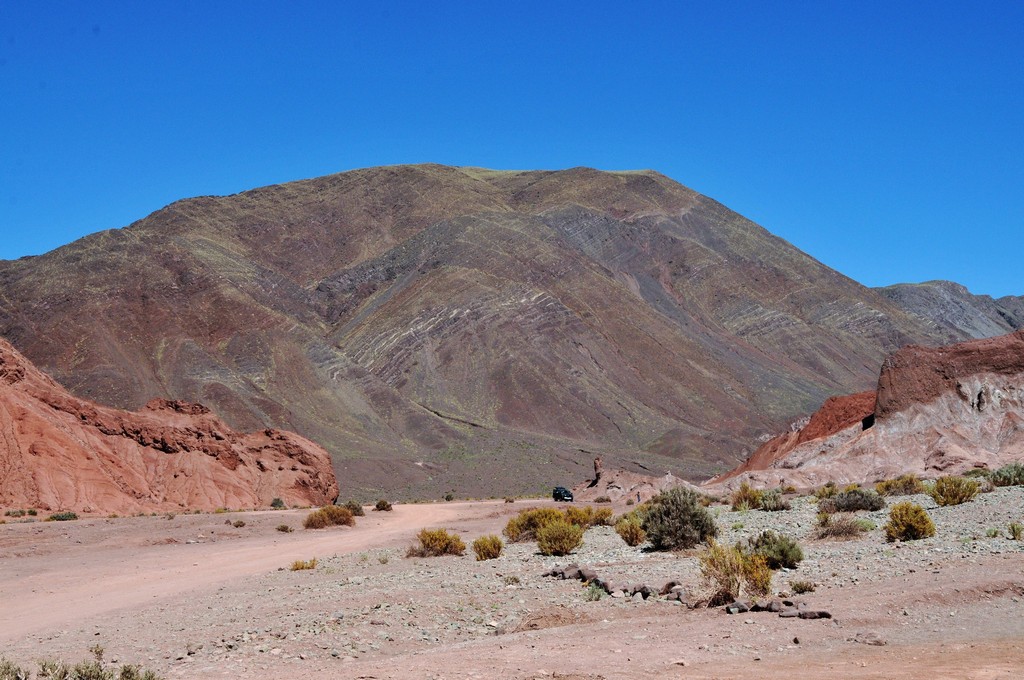
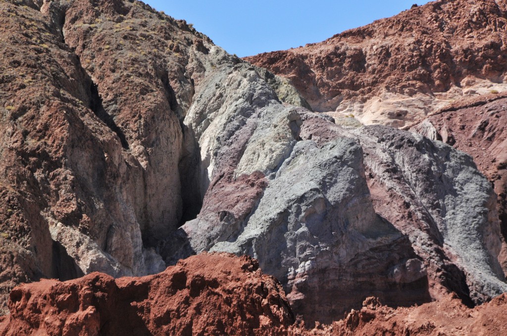
 is located 8 miles west of San Pedro de Atacama, to the north of Chile in the Cordillera de la Sal, in the Atacama desert. It has various stone and sand formations which have been carved by wind and water. It has an impressive range of color and texture, looking somewhat similar to the surface of the moon. There are also dry lakes where the composition of salt makes a white covering layer of the area. It presents diverse saline outcrops which appear like man-made sculptures")
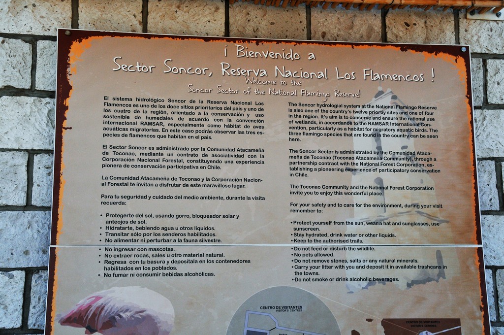


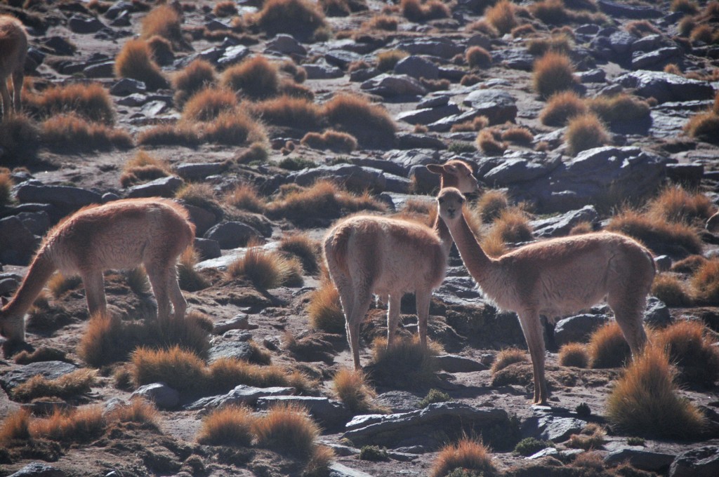


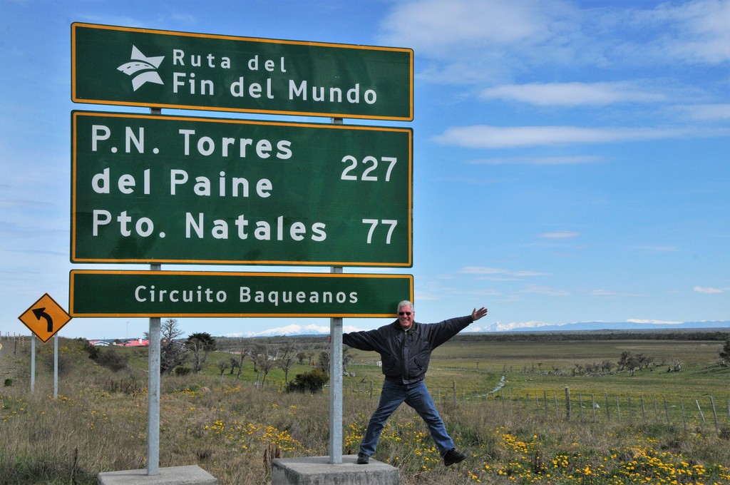


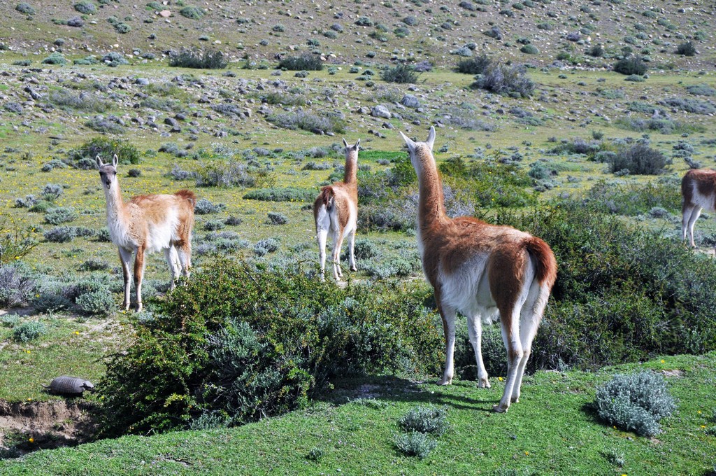
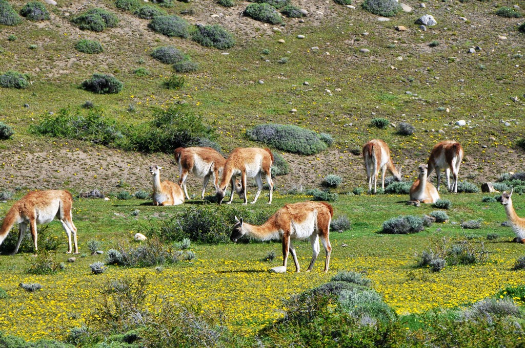

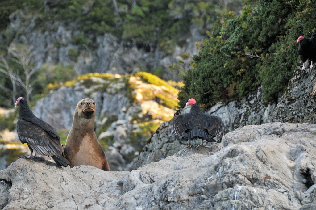
 that shelter rare wildlife such as llama-like guanacos.")


 and the Chilla and Culpeo foxes. The huemul (Andean deer) and the puma (cougar) are less often sighted. Birdlife is abundant, with over 115 species recorded including the Andean condor with its wingspan of up to 9 feet.")


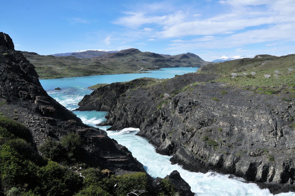

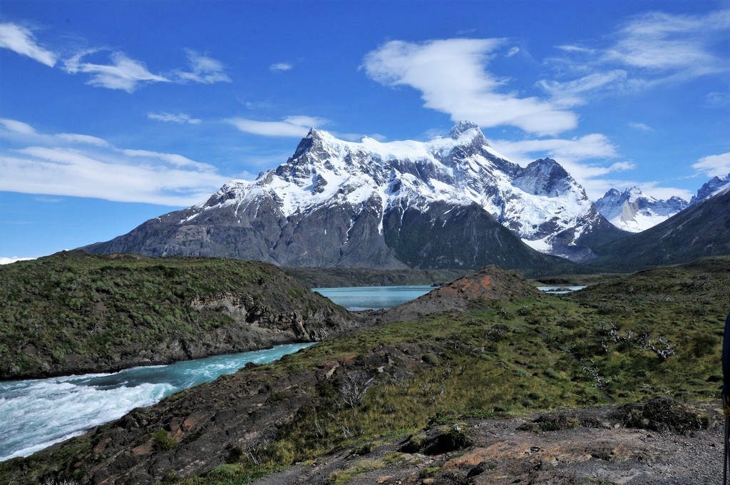
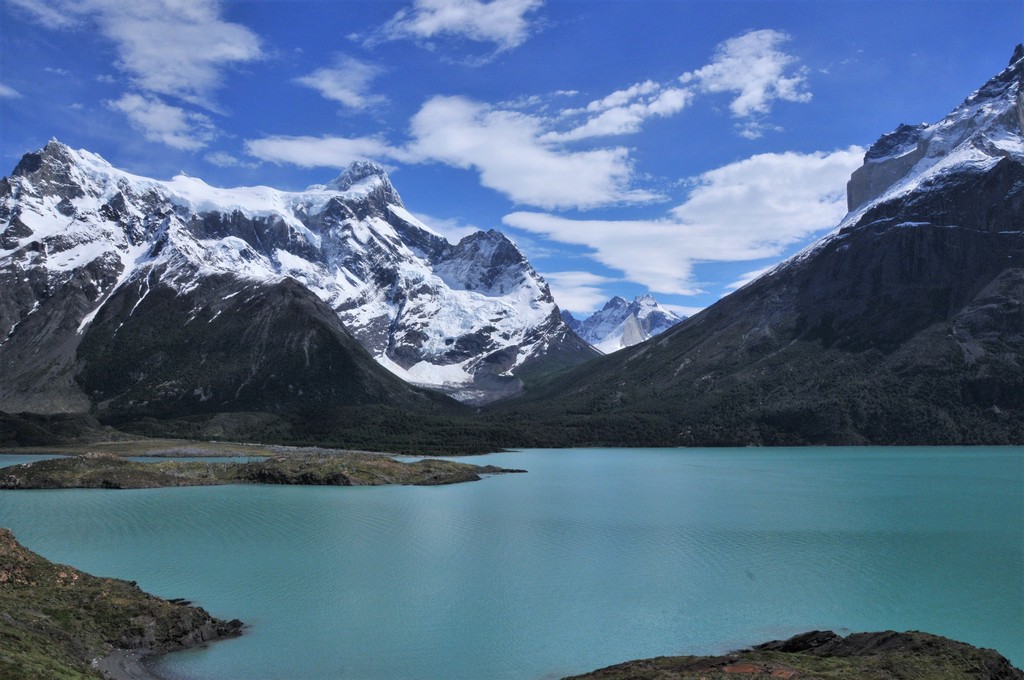
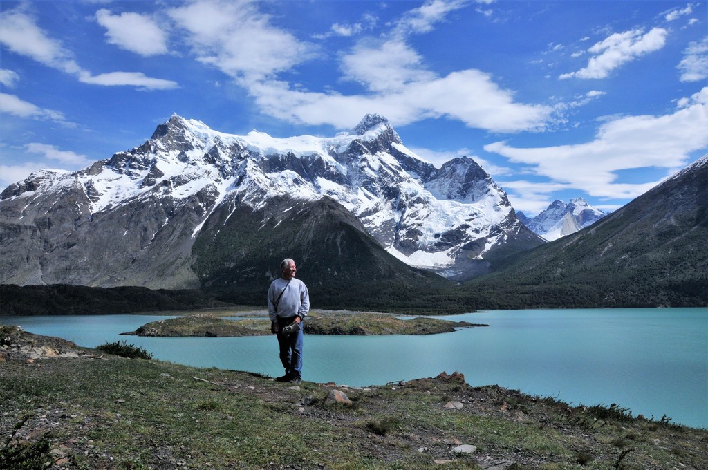
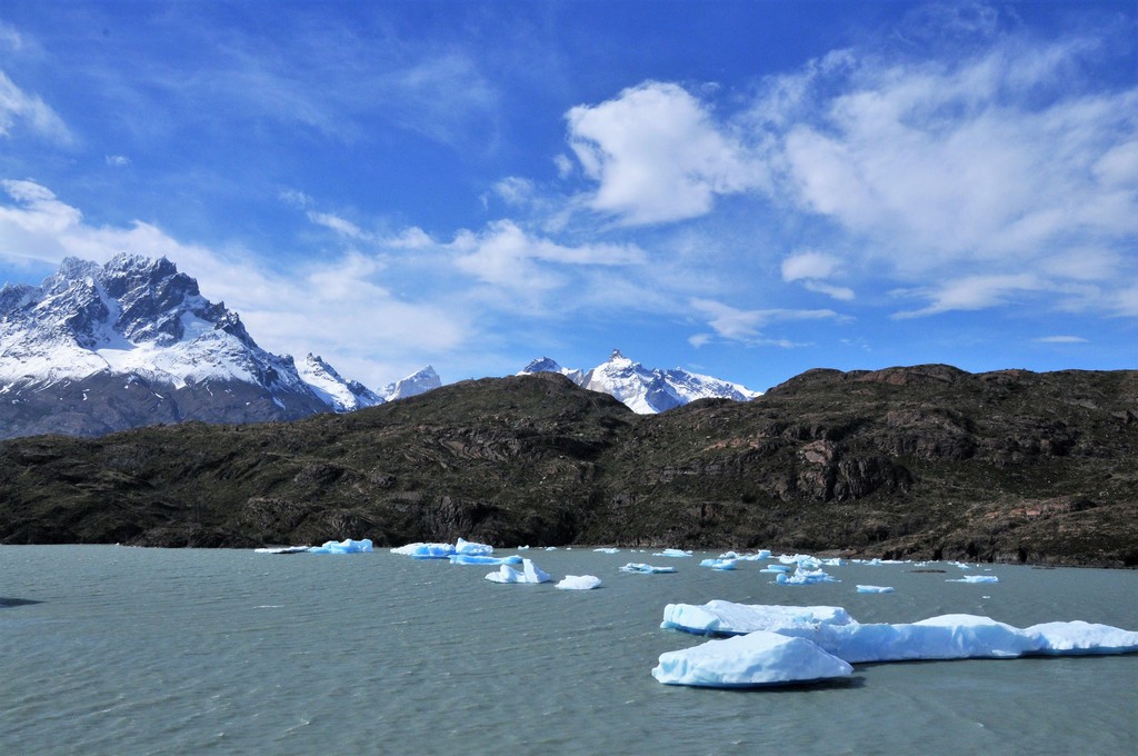
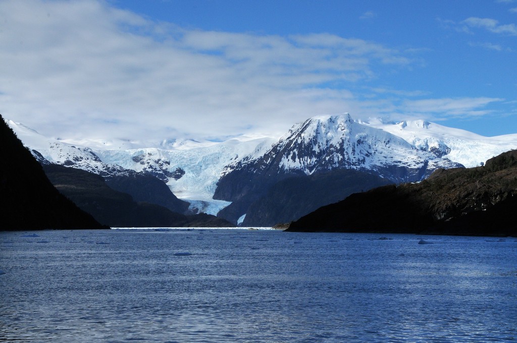
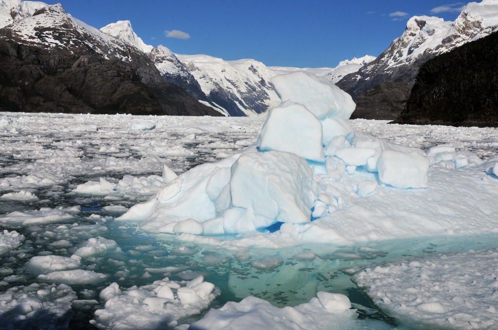
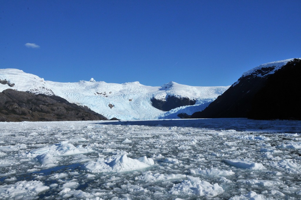
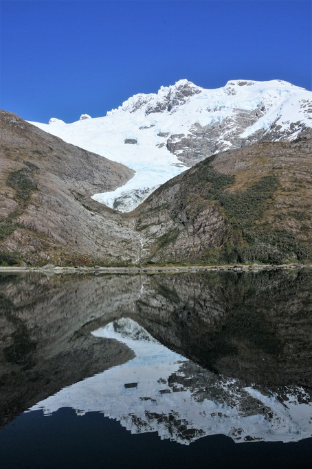
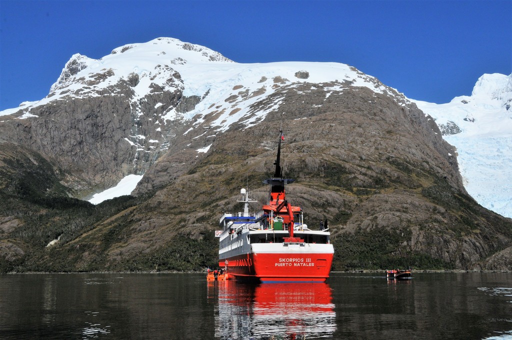
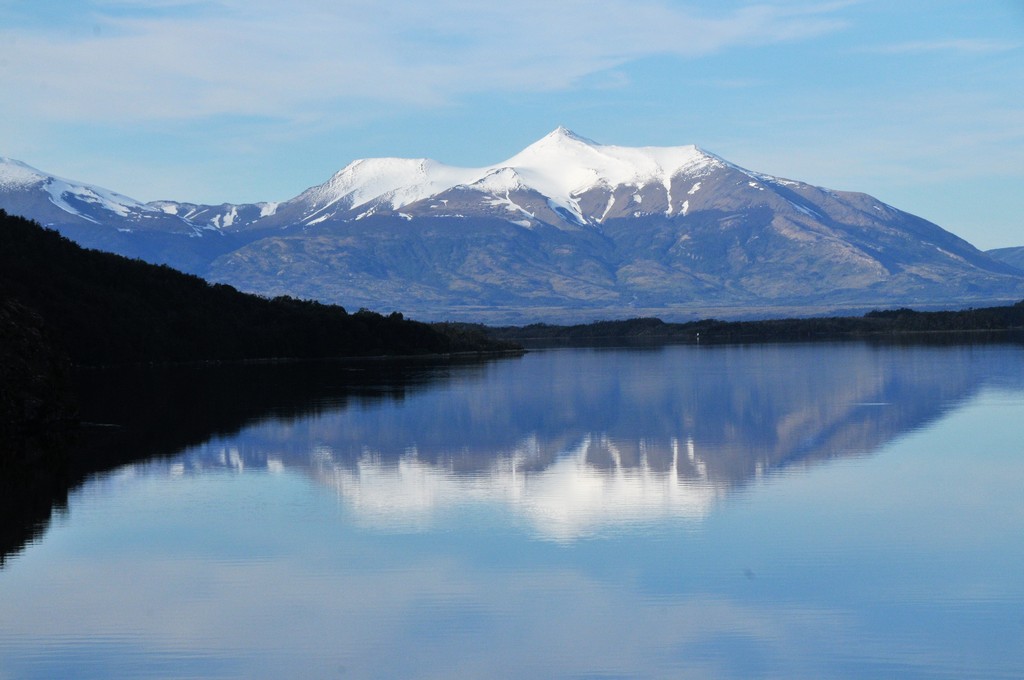
 is a lake located in Torres del Paine National Park in the Magallanes Region, southern Chile. The lake is named after the Swede Otto Nordenskiöld who discovered the lake in the beginning of the 20th century.")


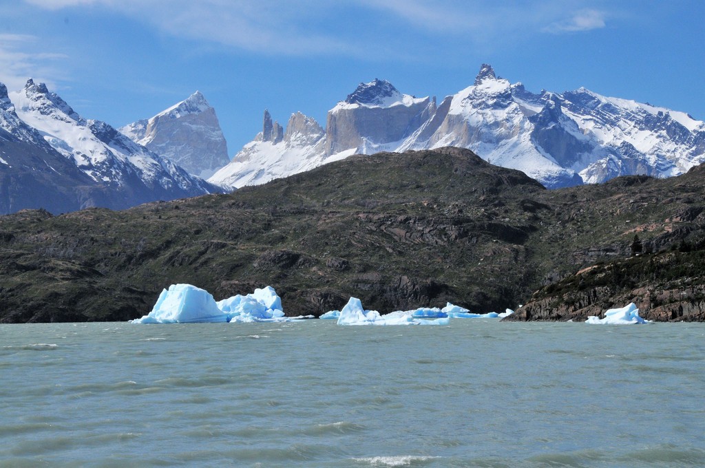
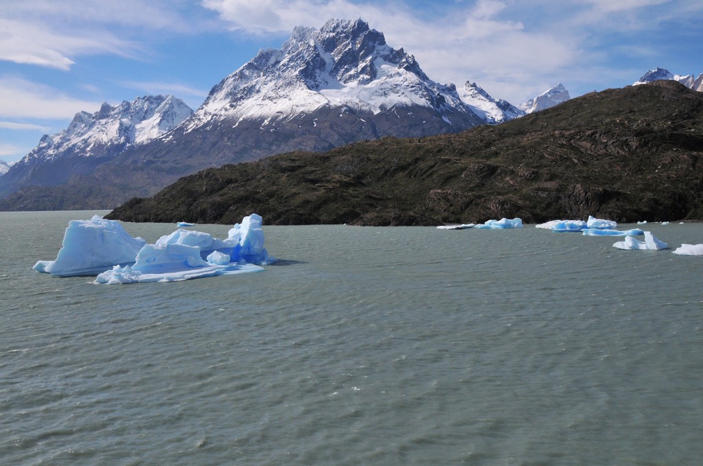


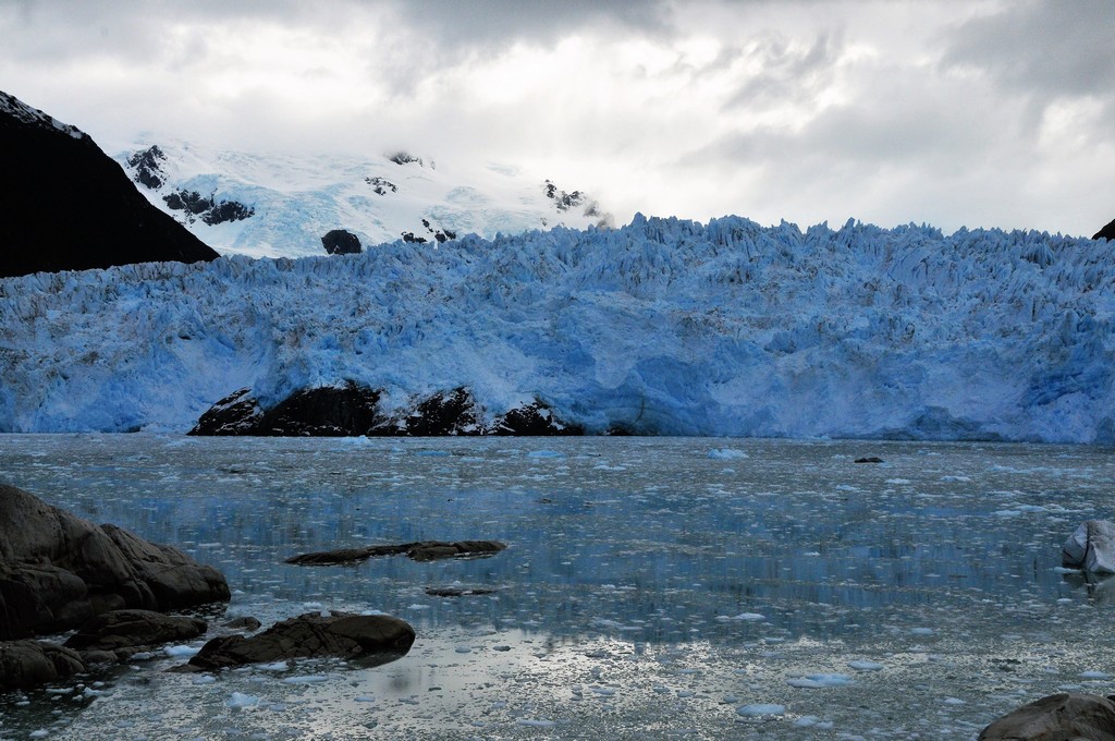


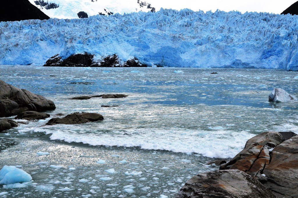


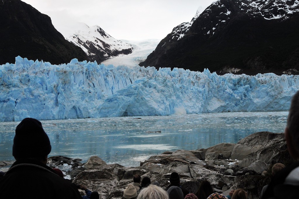
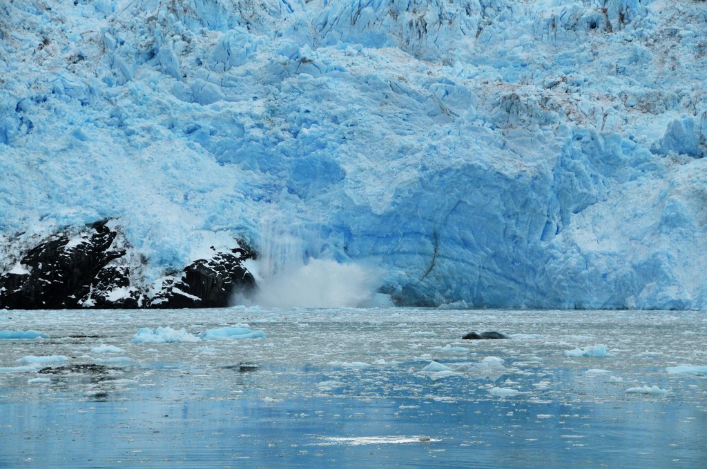
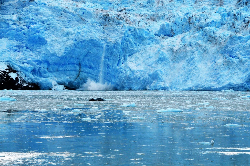
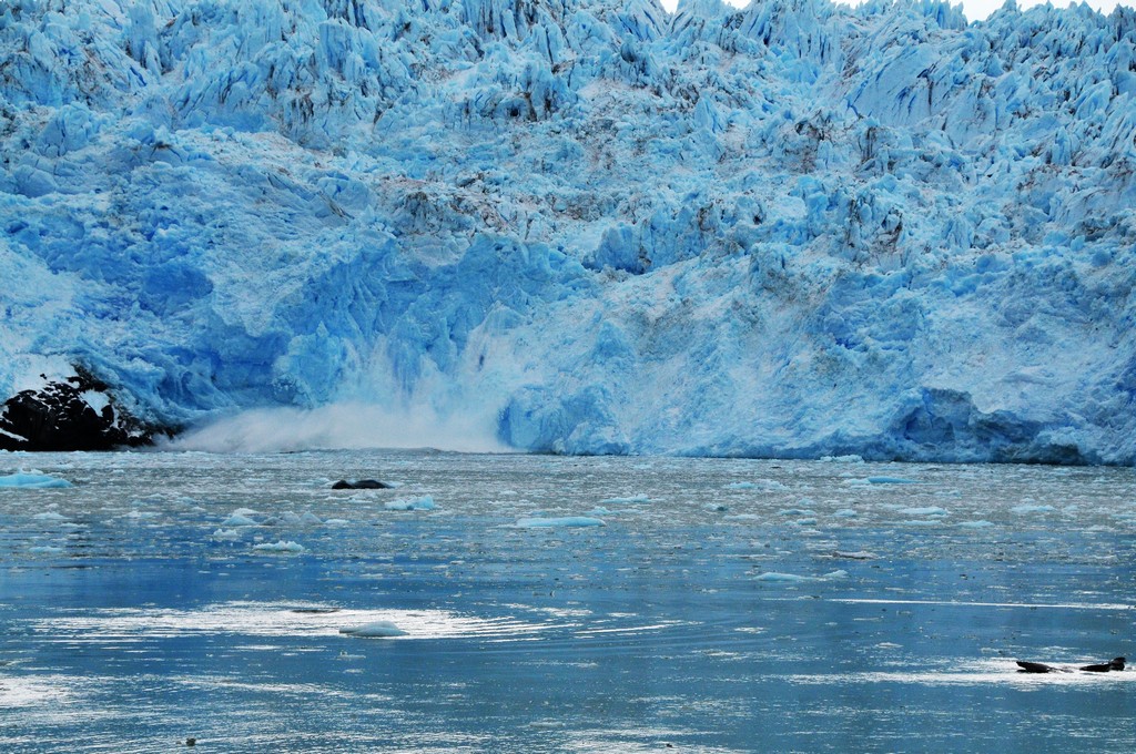
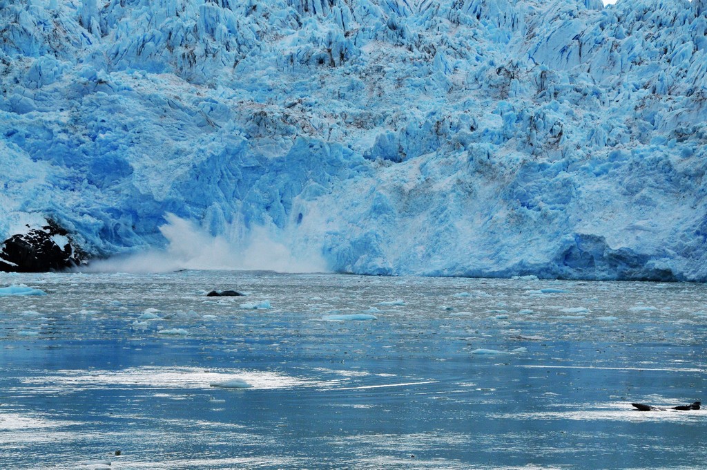
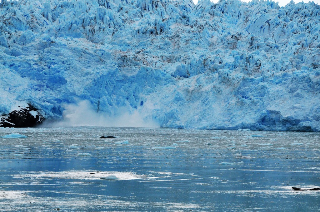
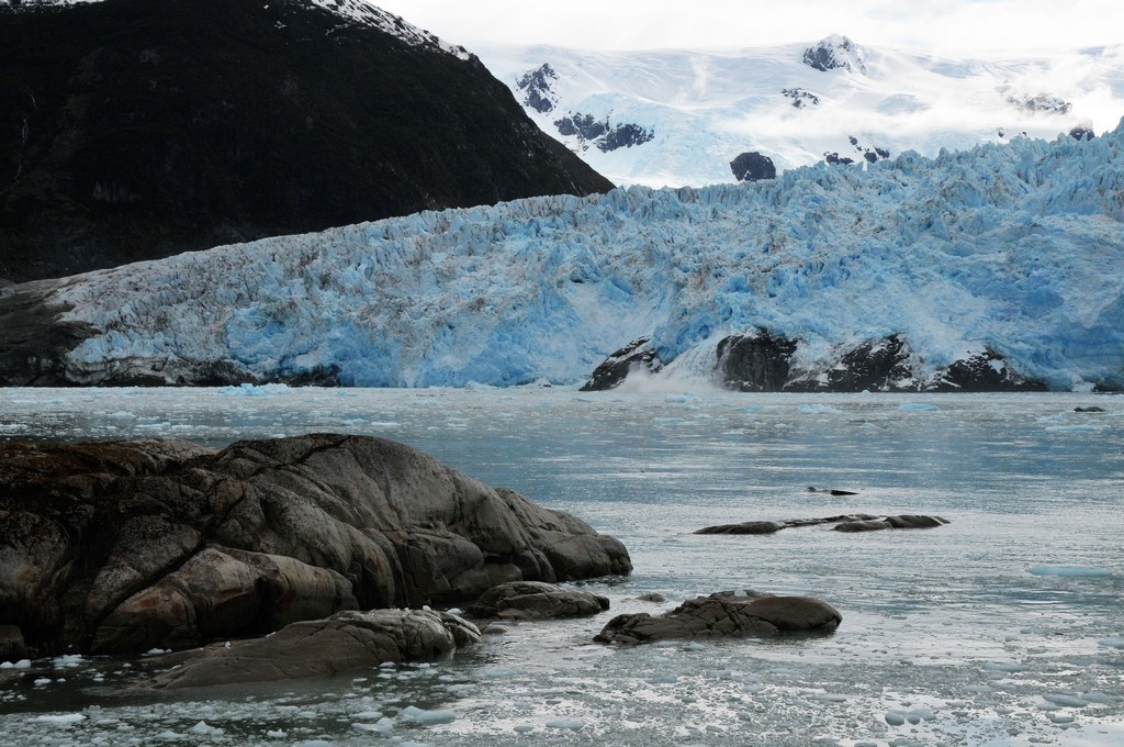

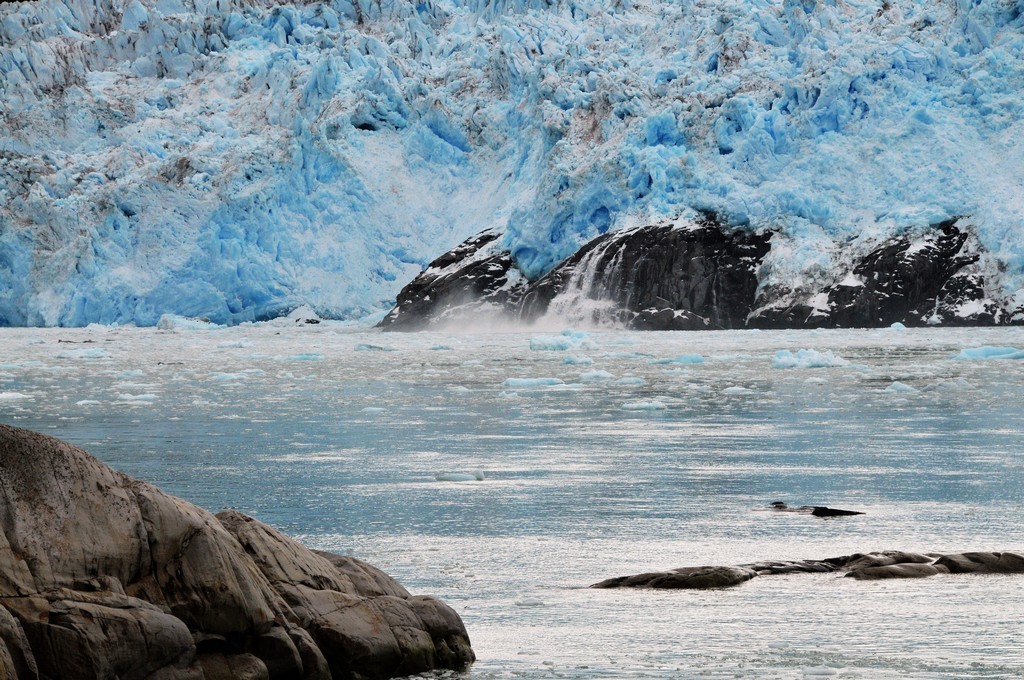
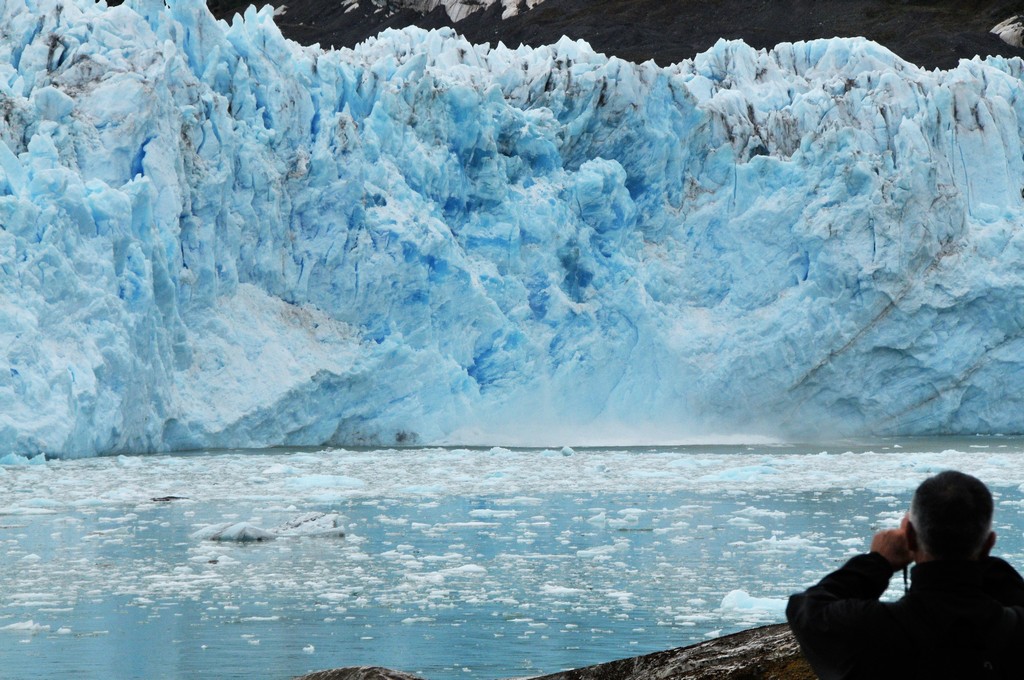
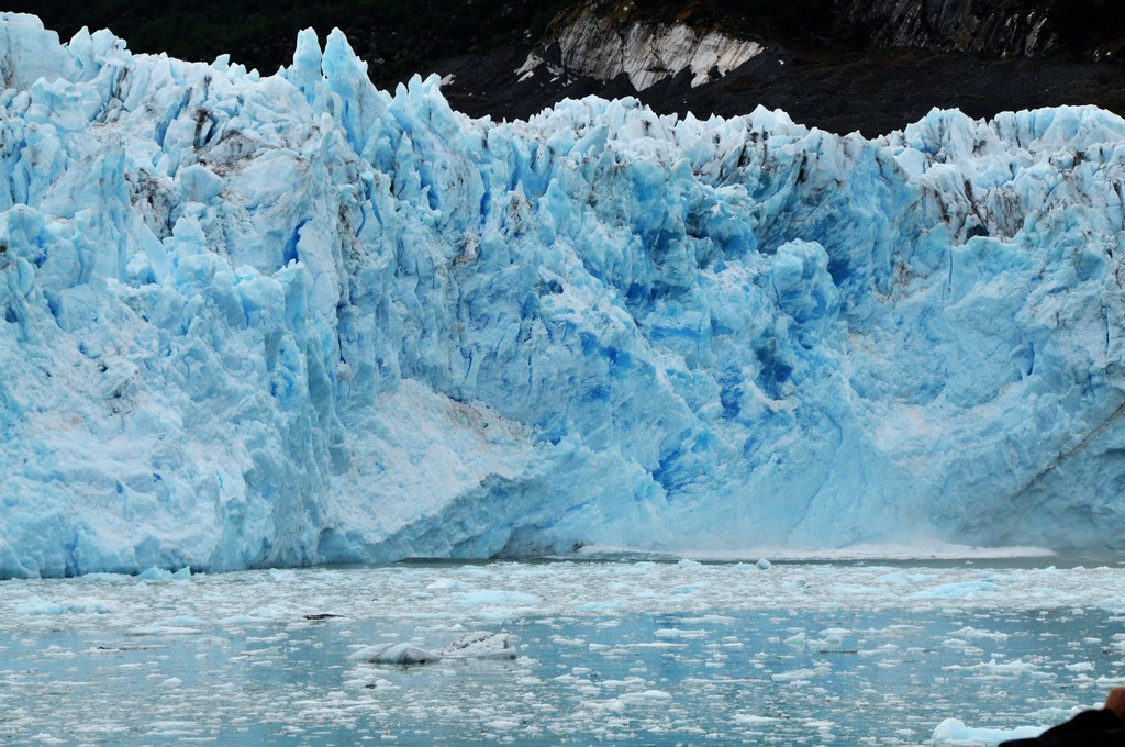

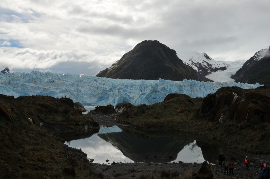

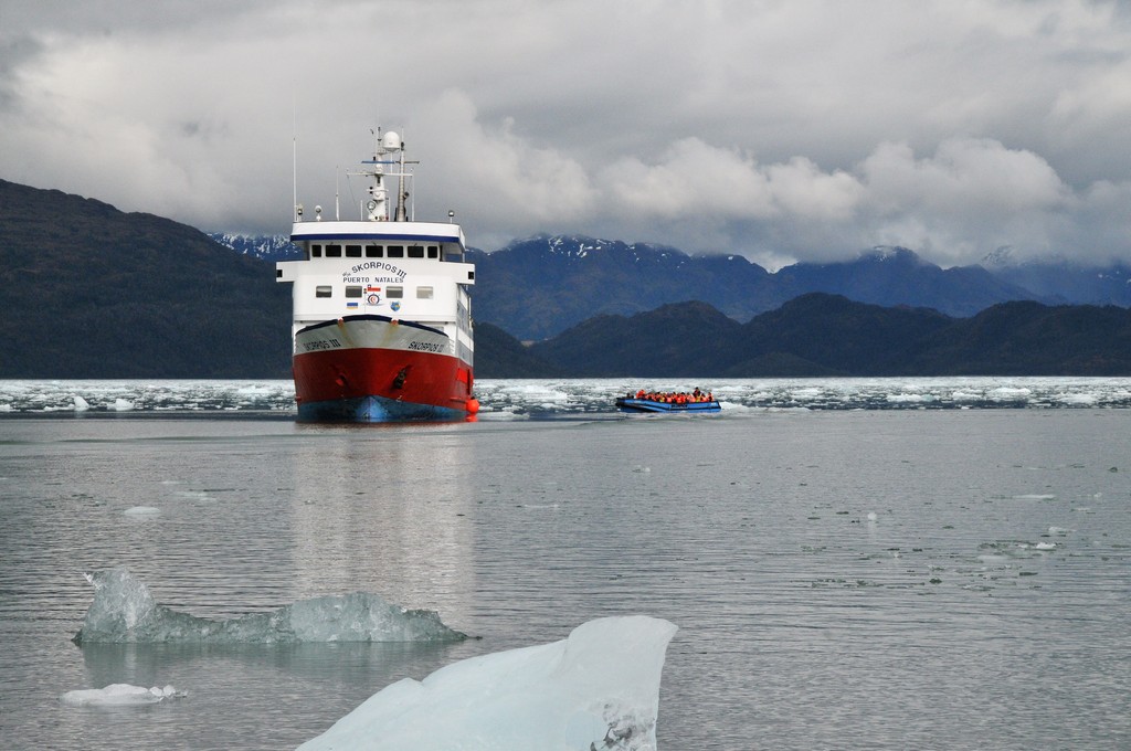


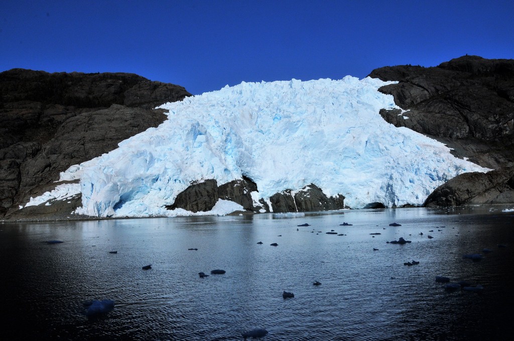
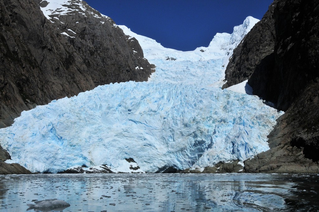
 glacier.")


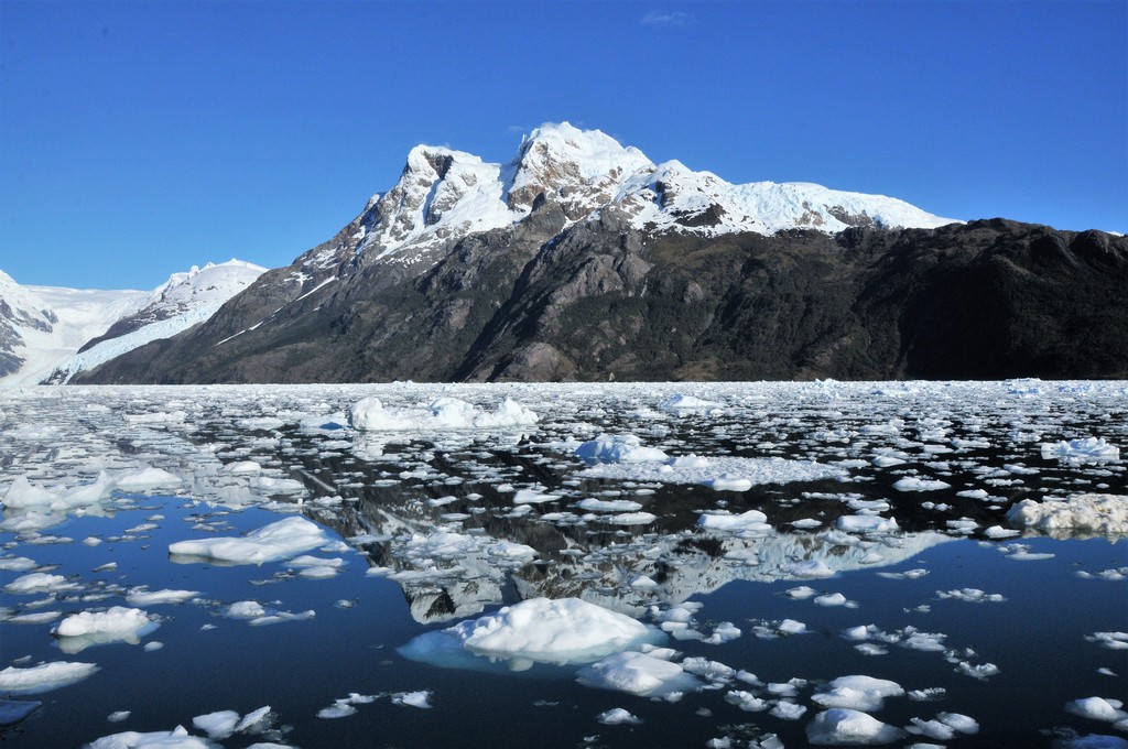


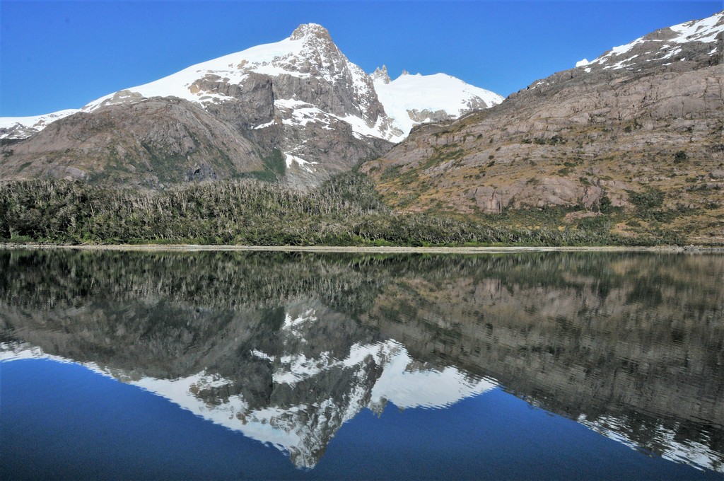


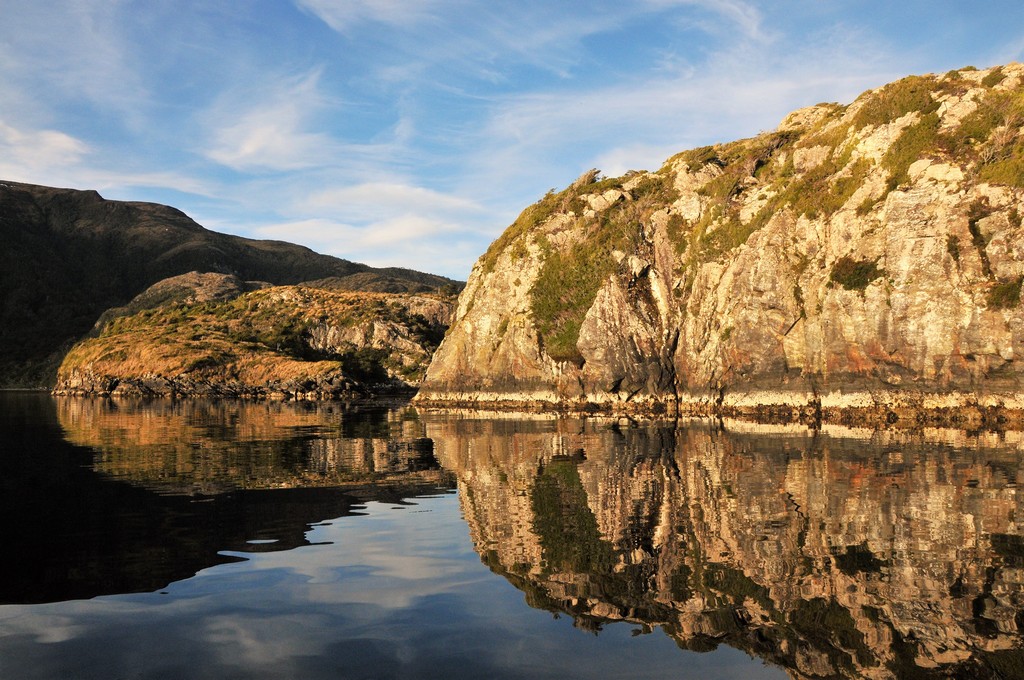


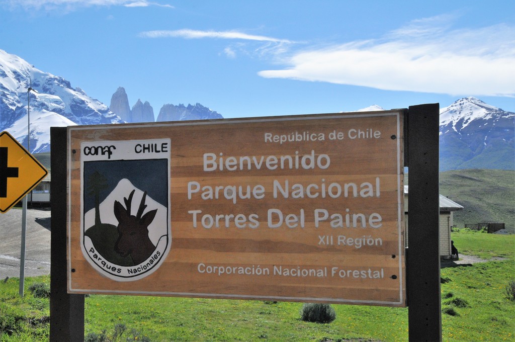
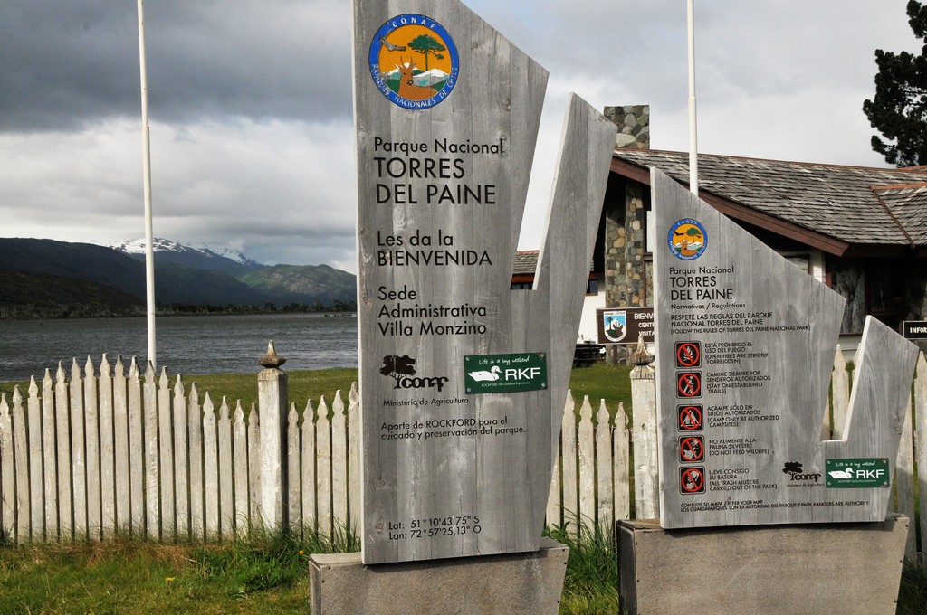
 World Heritage Site.")