Jim Schroder's Travel
  • Home
  • Trips
Select Page

Chile and Easter Island

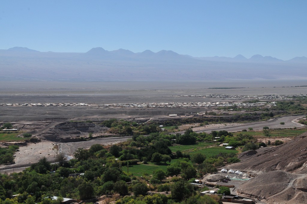
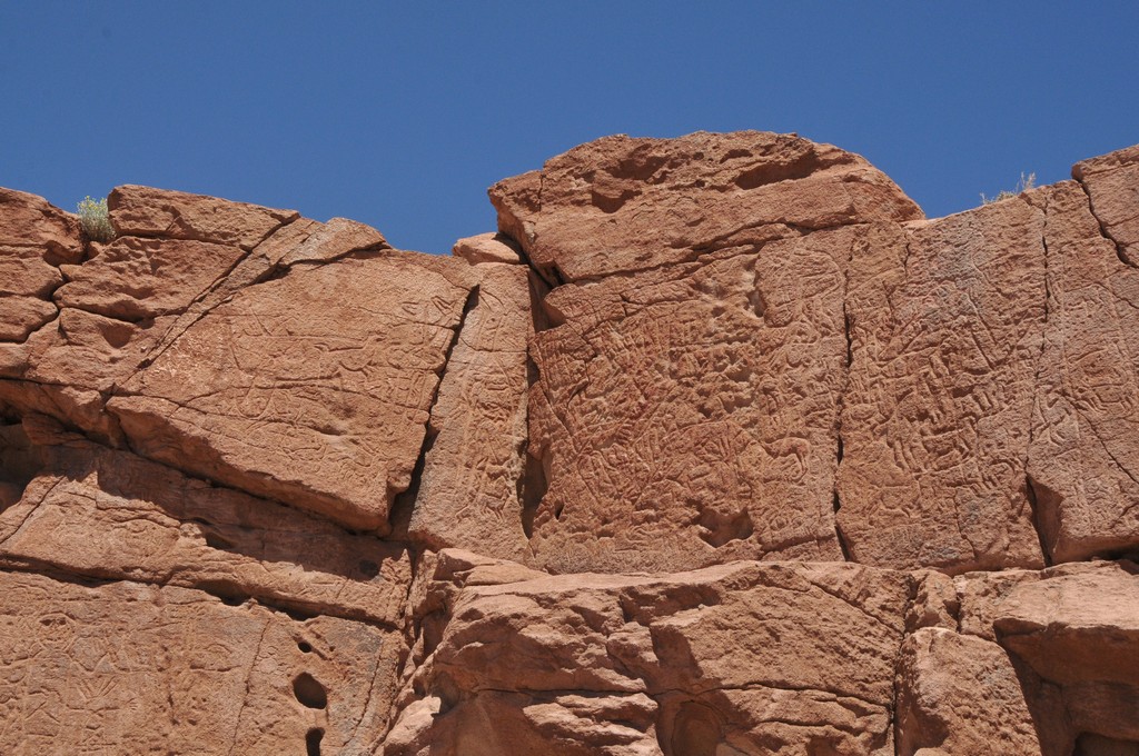
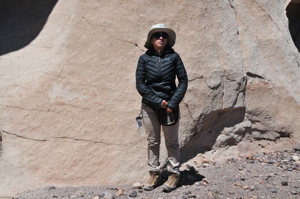
Our guide Marcela in the Atacama and the Petroglifes de Hierbas Buenas explains the location and history of this area.
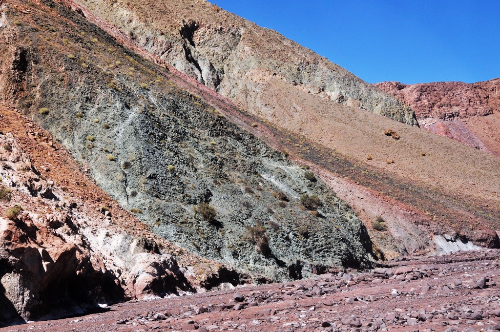
The Rainbow Valley continually has the wind blowing.
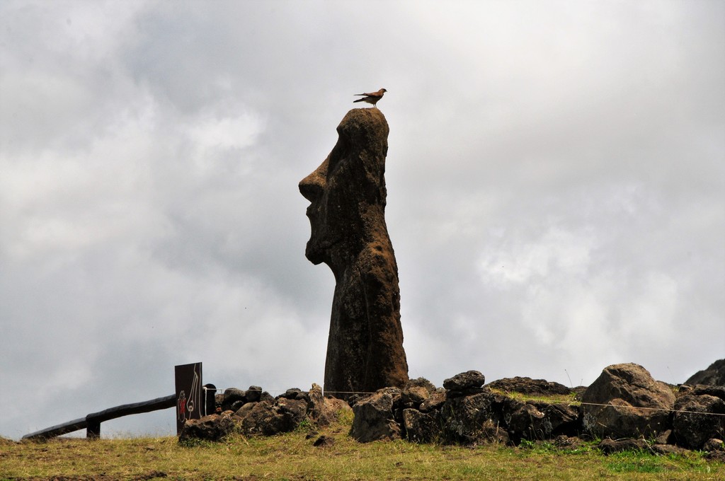
This moai is referred to as the "Traveling Moai". No idea why.
DSC_9102
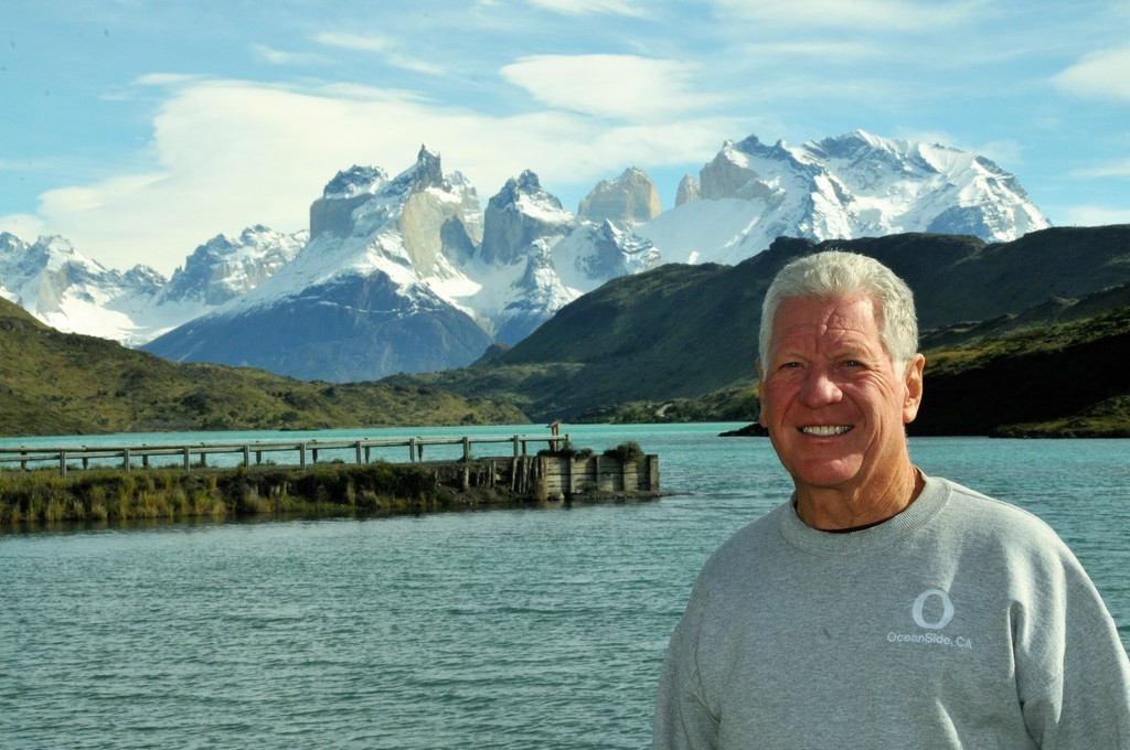
Lake Pehoé is a surface water body located in Torres del Paine National Park, in the Magallanes Region of southern Chile. The lake is fed mainly by Paine River through the Nordenskjöld Lake, but it also receives the waters of the outlet of Skottsberg Lake.
DSC_8407
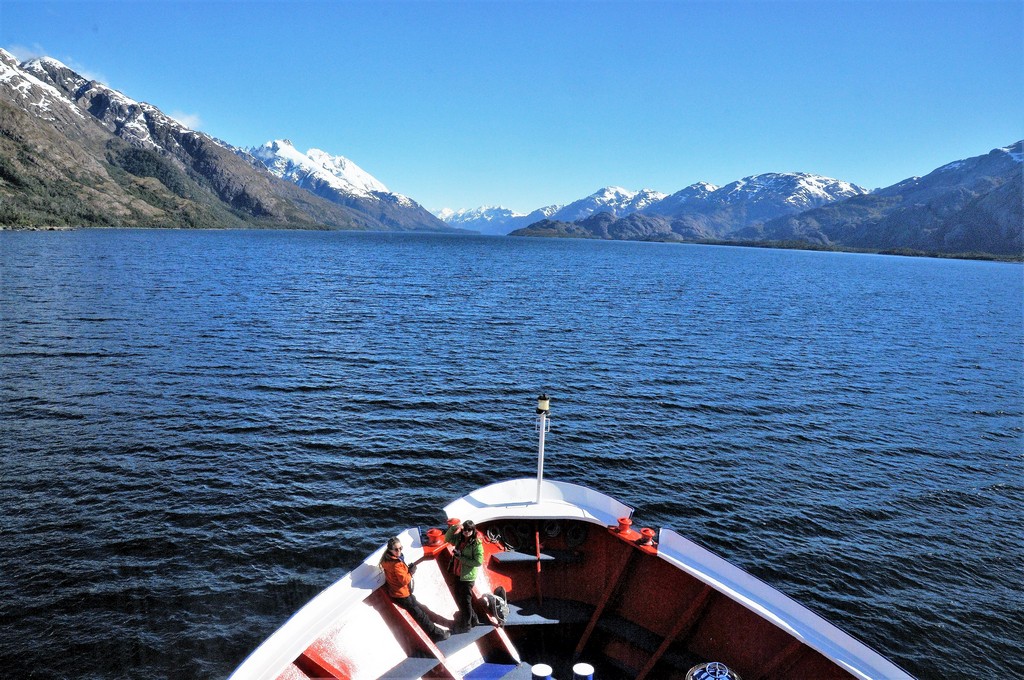
Looking out from the bridge of the ship in the fjords.
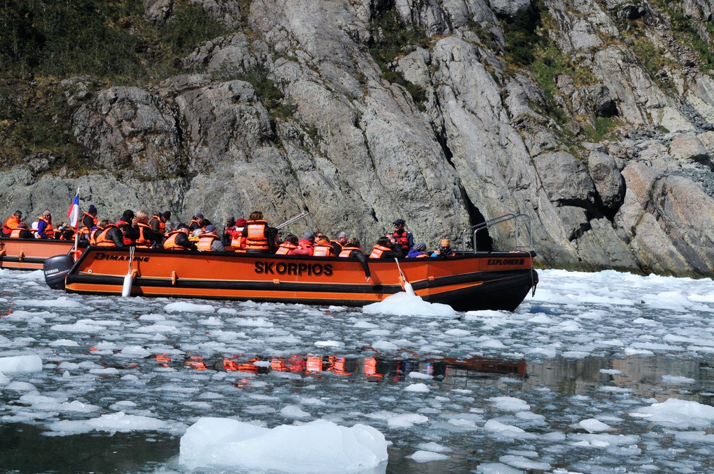
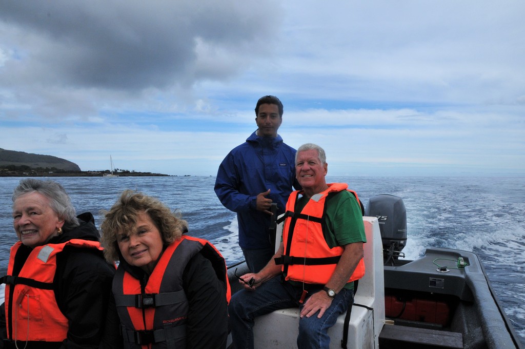
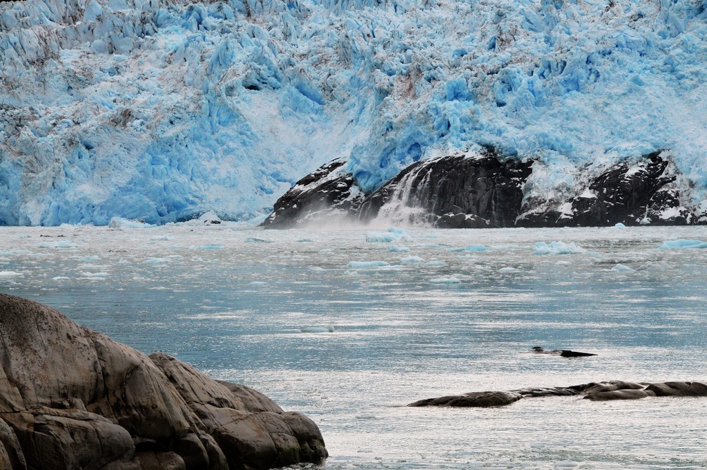
Cruising by smaller craft through the bay of Alsina Glacier.
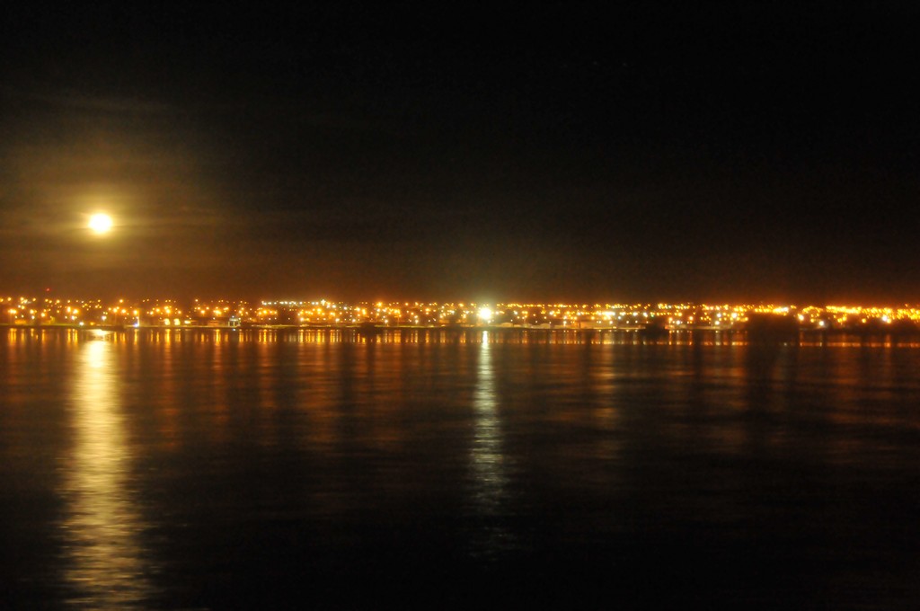
Returning to Puerto Natales  late into the night.
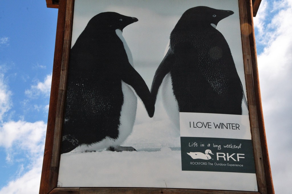
I loved this promotion for Puerto Natales on a sign walking around town.
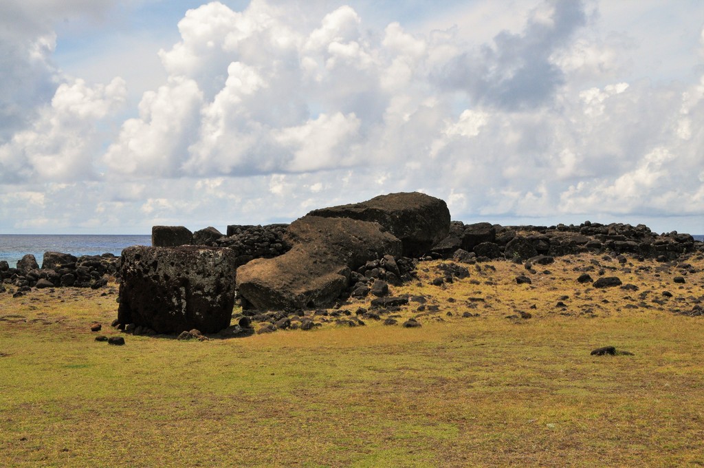
In this ceremonial center is the Ahu or Paro, whose only moai named Paro, remains in the same position it was when it was demolished almost two centuries ago.  The Paro Moai represents a milestone from the period when the statues were built, as it is the largest moai statue transported from the Rano Raraku volcano quarry and erected successfully on an ahu or platform.
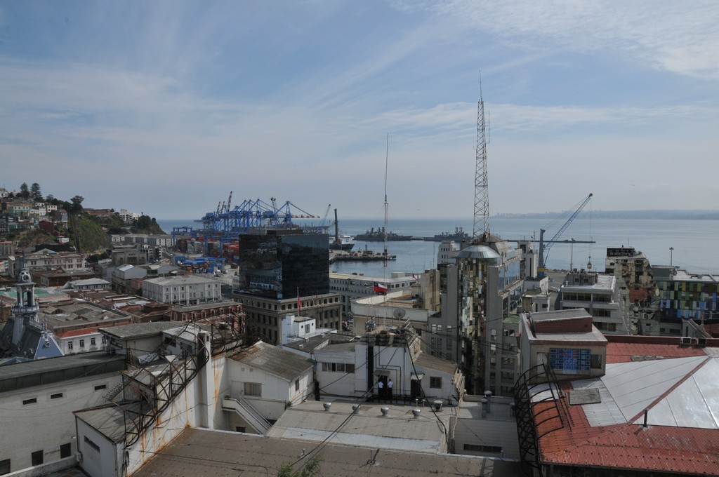
View of the port
DSC_8576
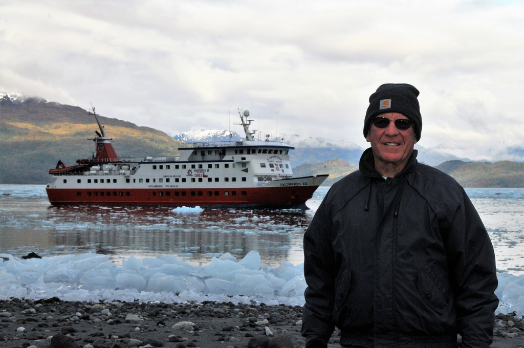
Every slip of land we've traveled in Chile was once covered by the Patagonian Ice sheet which stretched all the way to the Andes.  The remaining southern Patagonian Ice field still sprawls nearly 5,000 square miles.
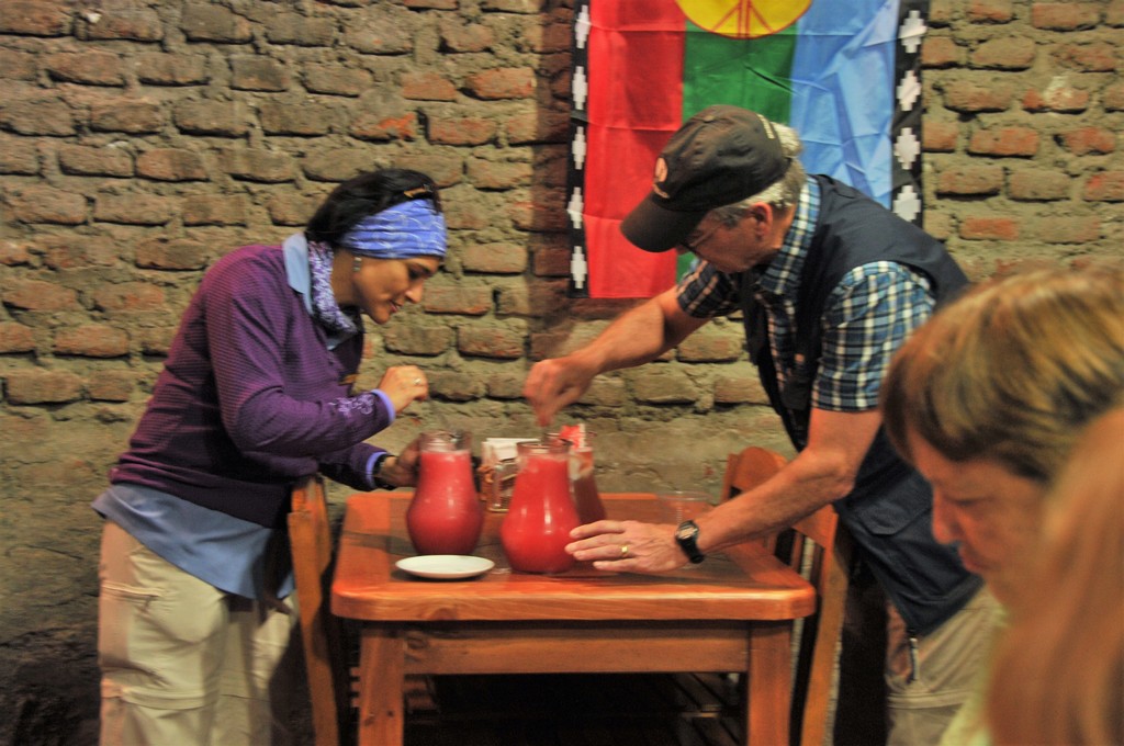
Nicole Flores,  our Chilean guide for the trip, and one of our travelers mix the famous red "pipeno" to kill your sorrows.  Quita penas, or "take away sorrow", is exactly what the patrons of this bar do - drown their sorrows with a large jug of pipeño or in one of their rich dishes. The food served here is a true example of Chilean comfort food at its finest, with bread, potatoes and meat as the base of almost all of these dishes.
DSC_8386
Coming back to shore.
DSC_8907
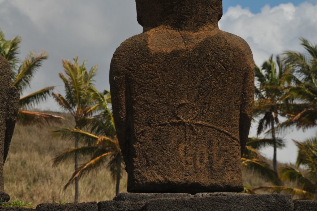
Ahu Nua Nua stands out for the fineness of his features and details engraved on his back. It is one of the island’s best-preserved platforms because they remained hidden under the sand when they were felled, which protected them from weather conditions.
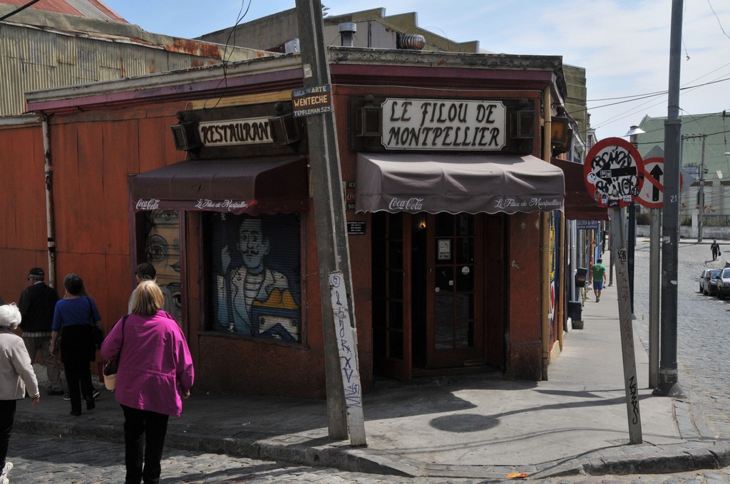
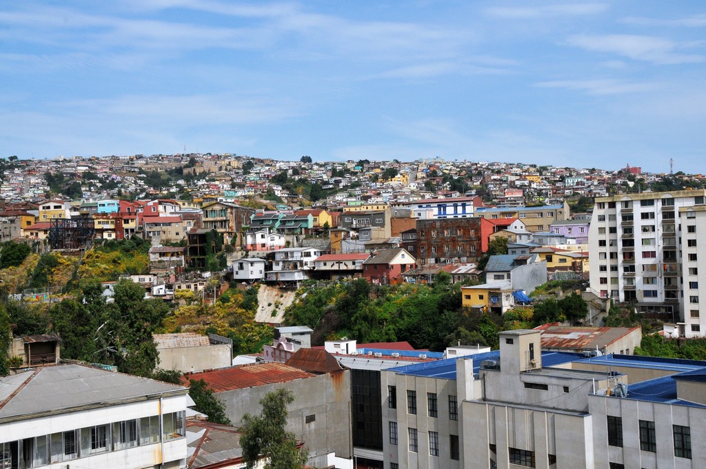
The famous hillsides of Valparaiso
[Show slideshow]
◄ 1 ... 5 6 7 ... 30 ►
© 2026 Jim Schroder