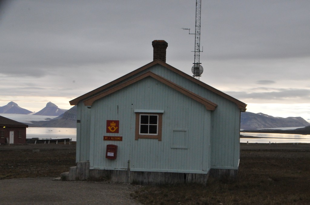
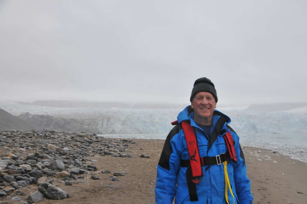
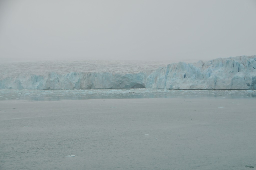
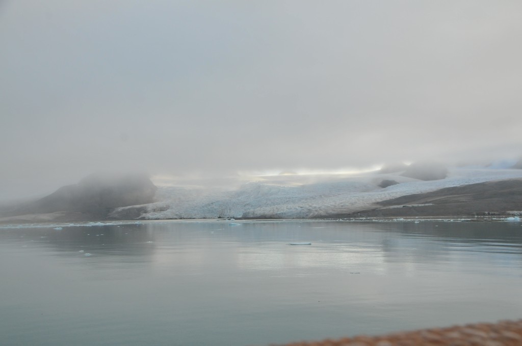
Jim Schroder's Travel
Home
Trips
Select Page
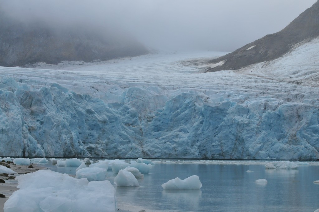
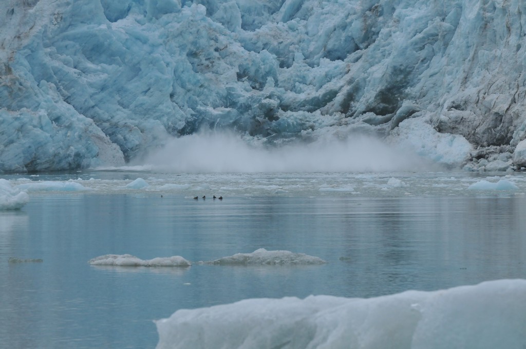
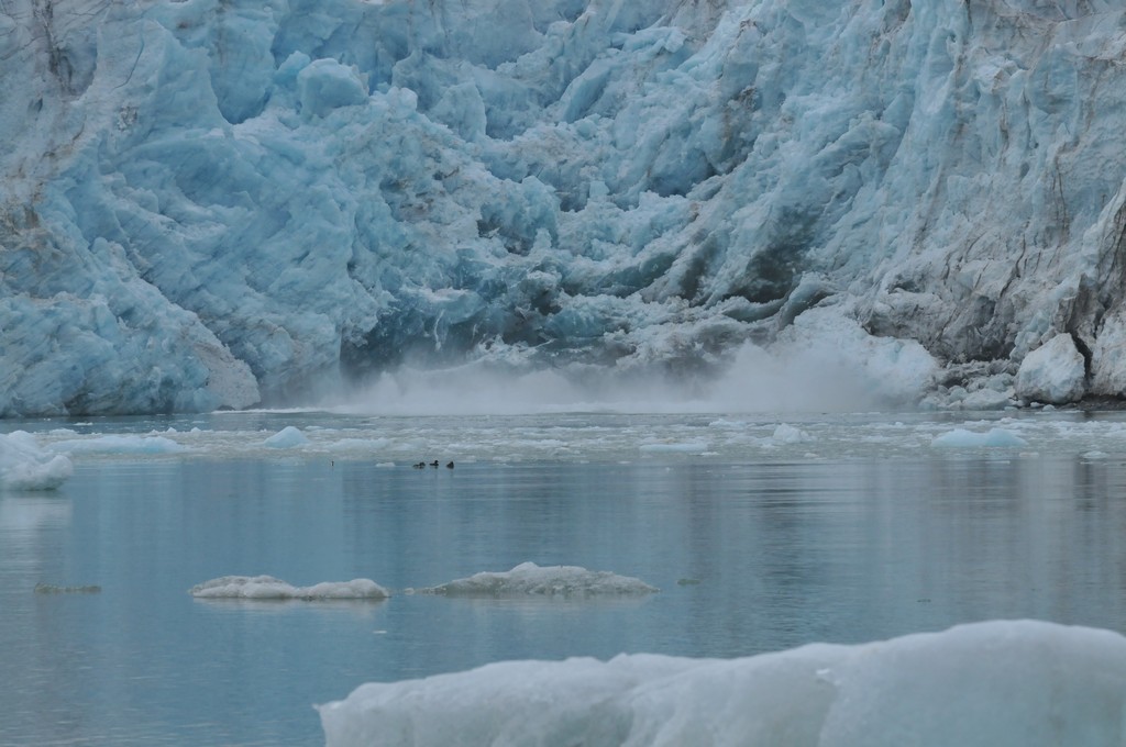
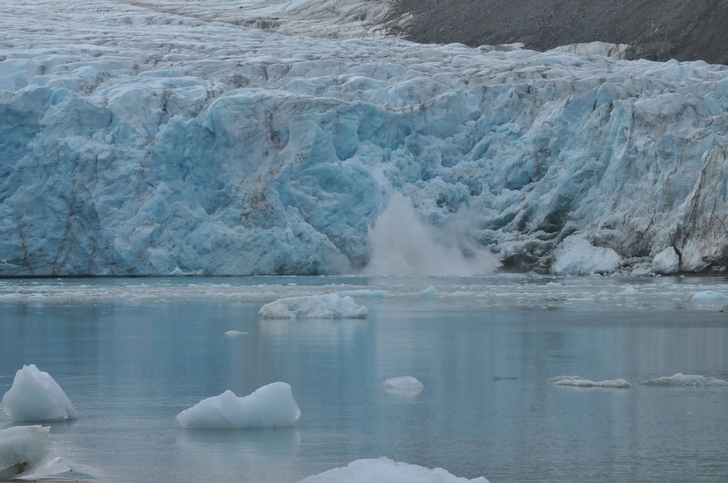
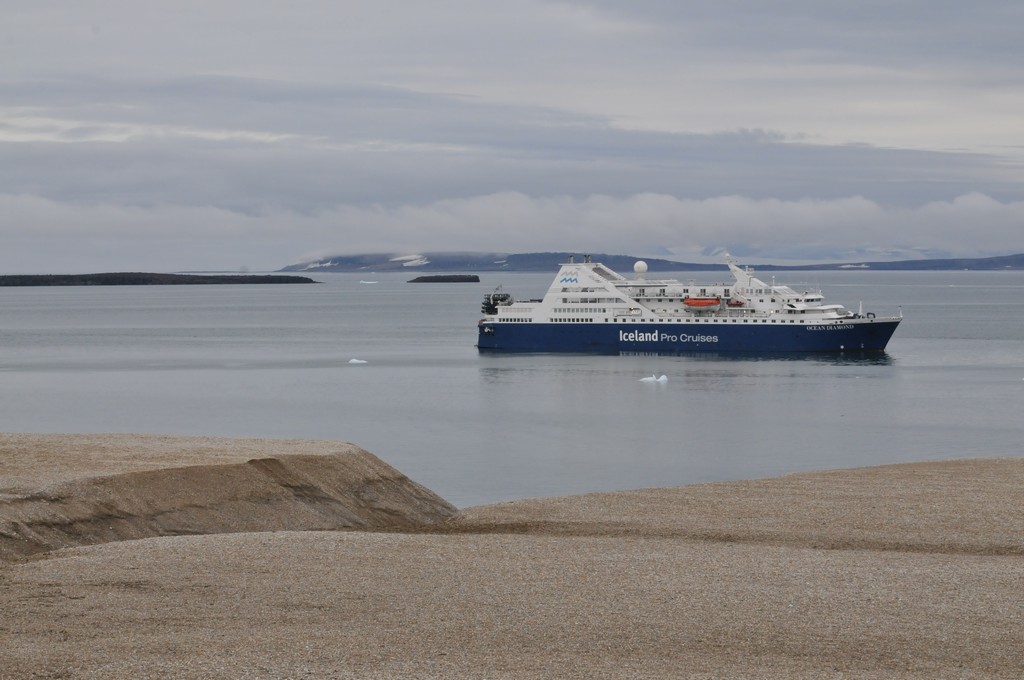
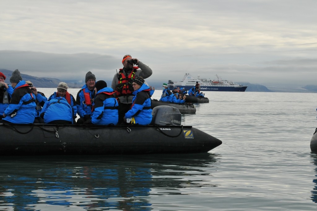
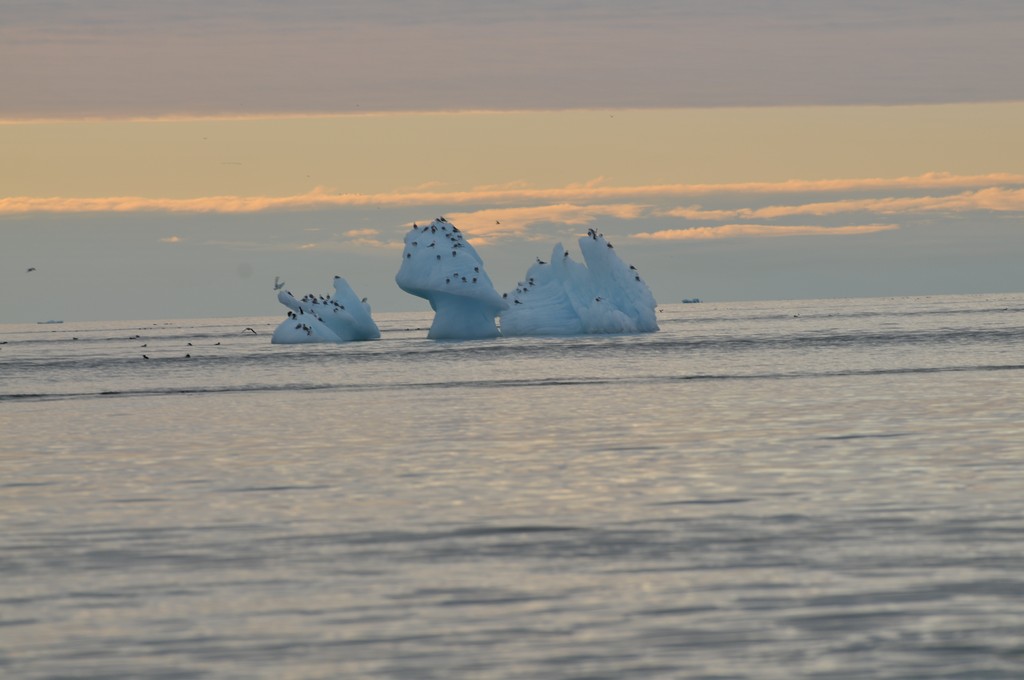
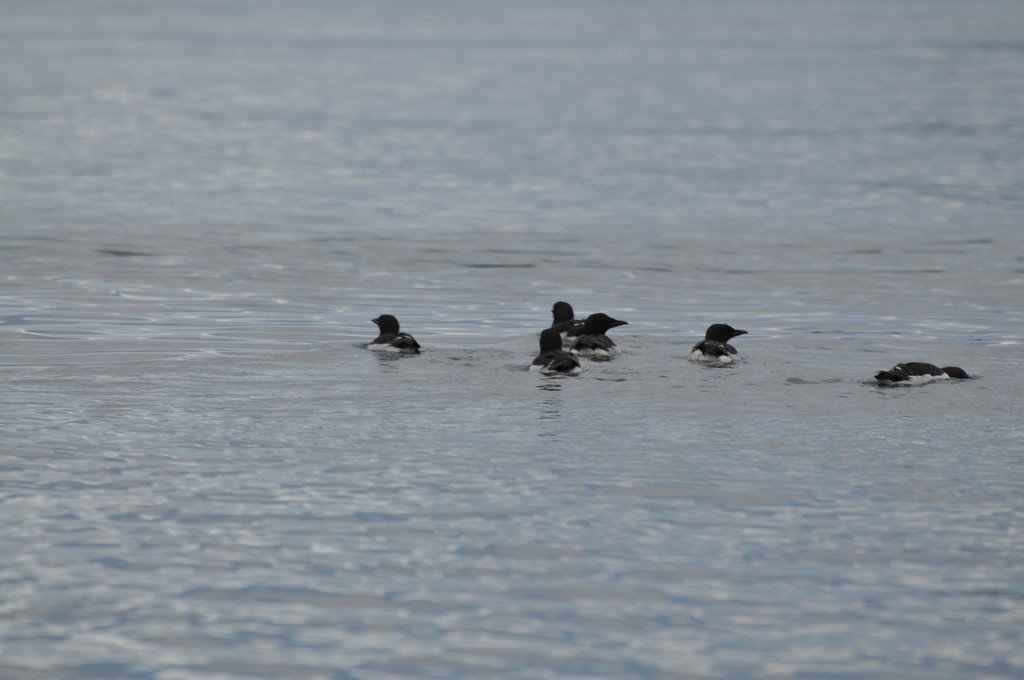
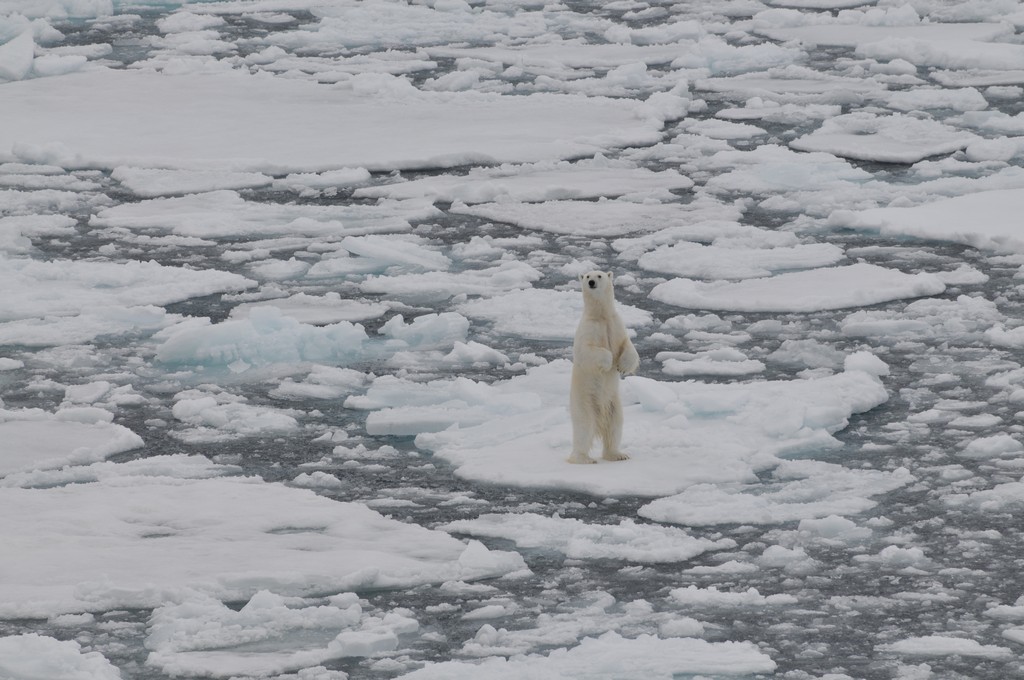
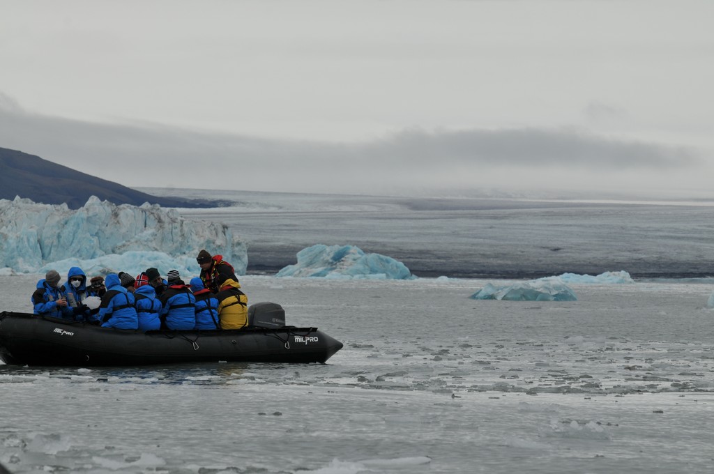
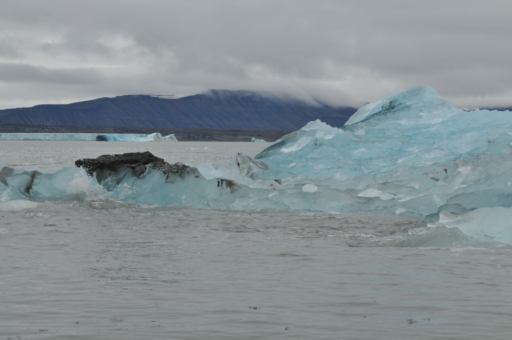
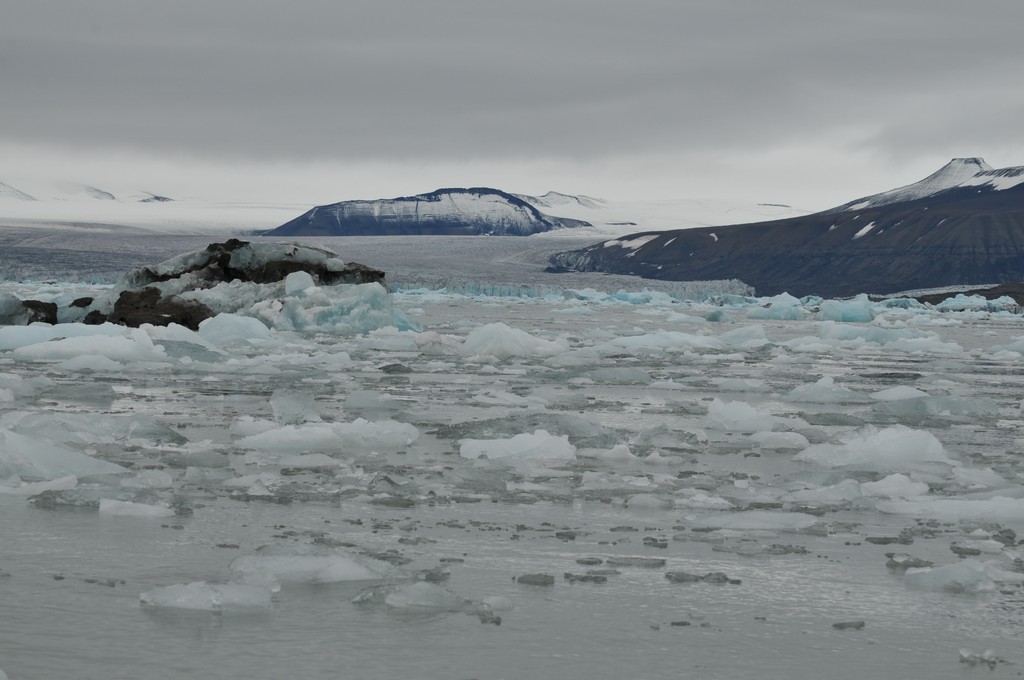
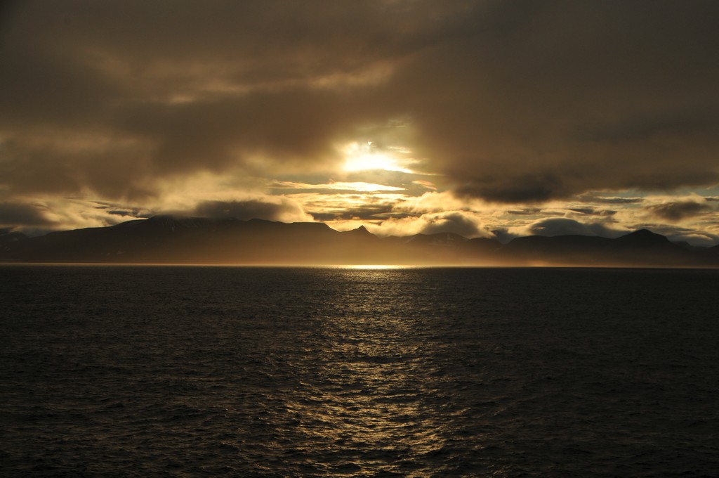
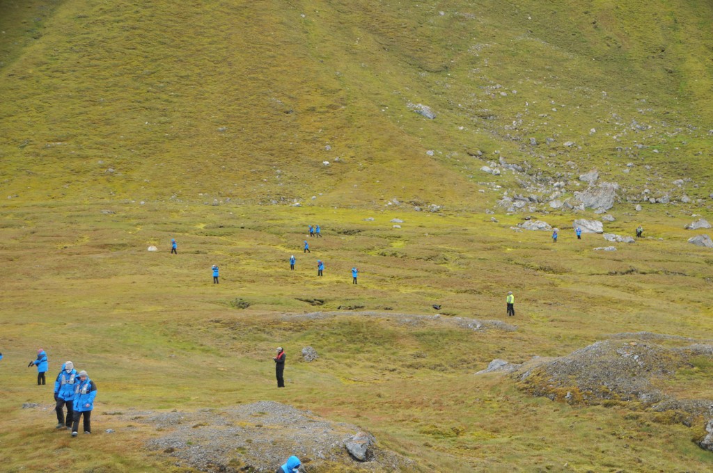
Arctic
[Show thumbnails]


, polar night from 27 October to 15 February (111 days) and civil polar night from 13 November to 29 January")