Jim Schroder's Travel
Home
Trips
Select Page
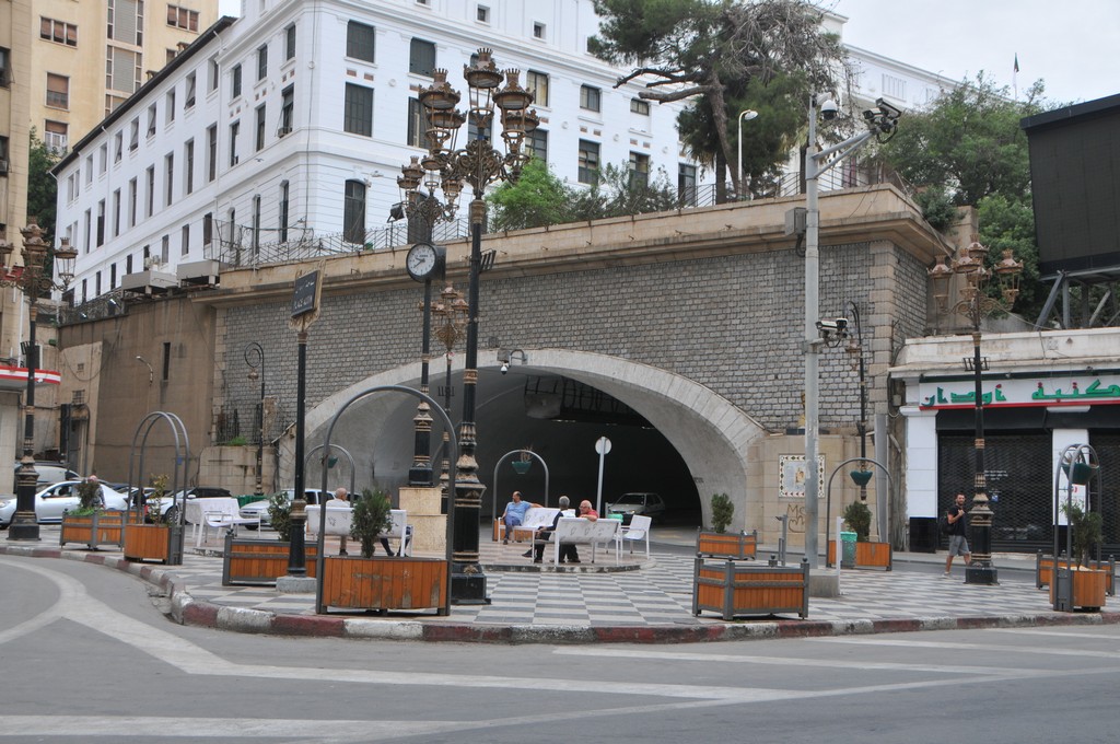
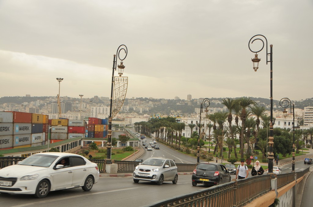
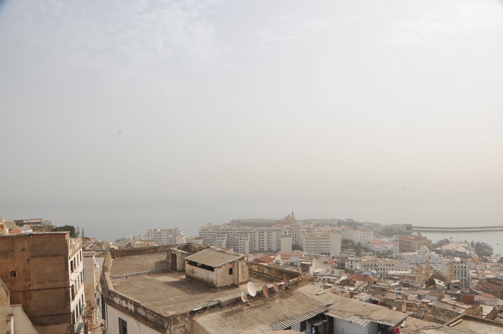
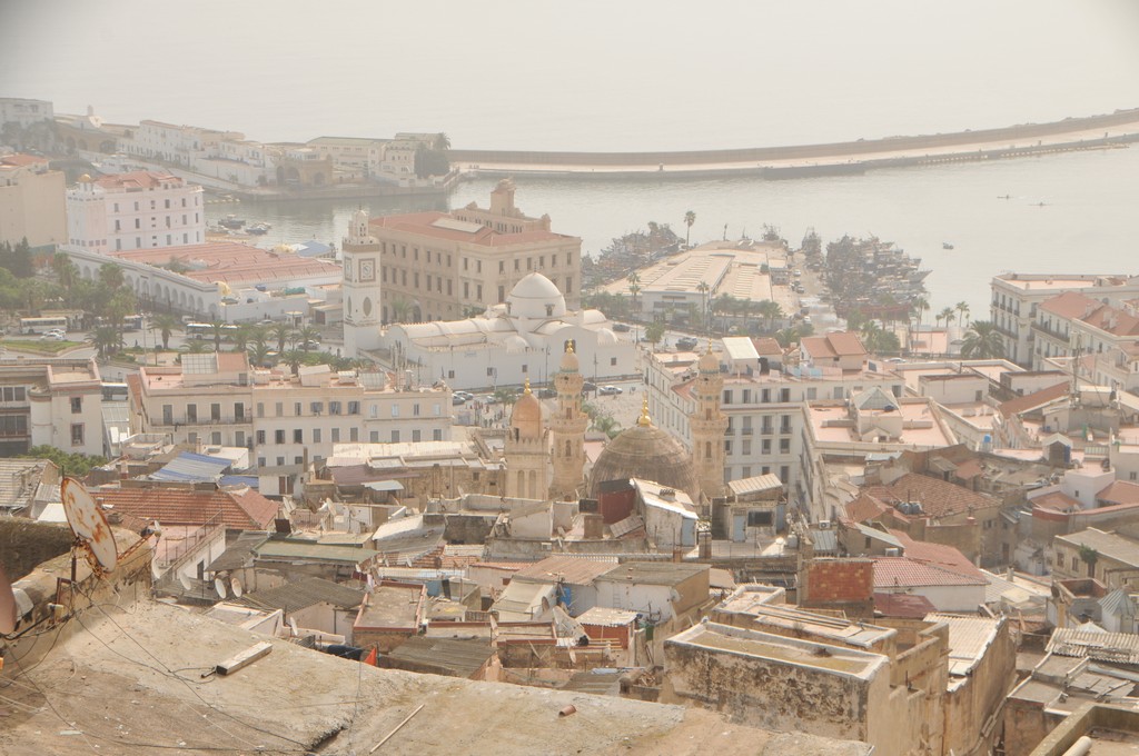
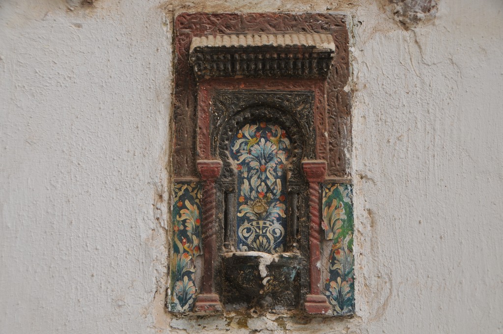
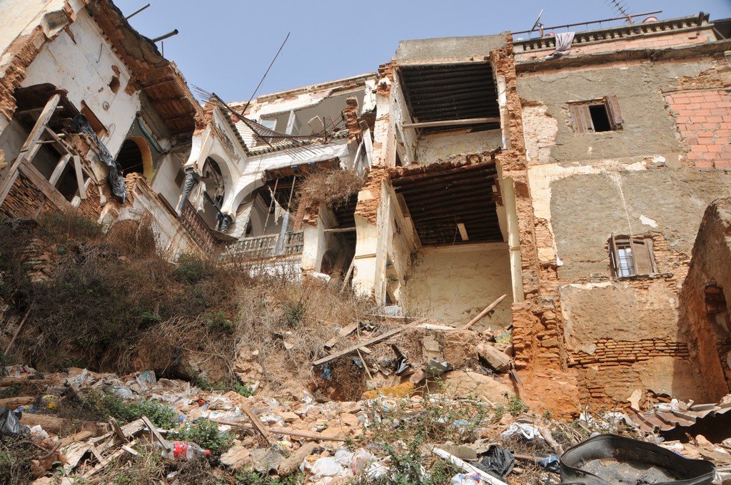
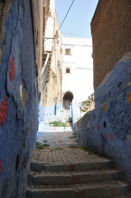
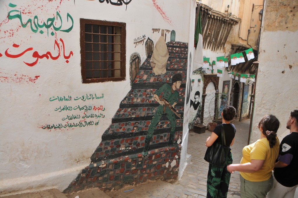
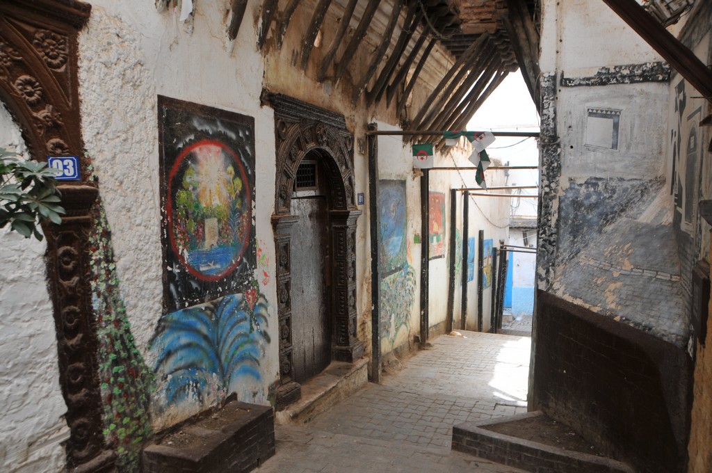
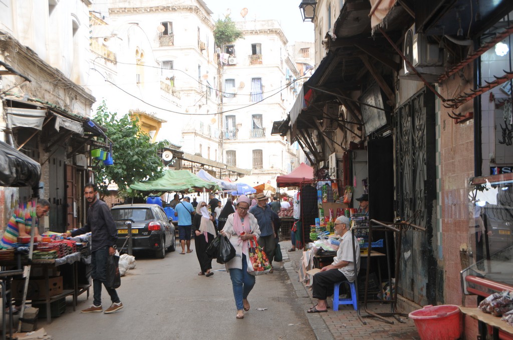
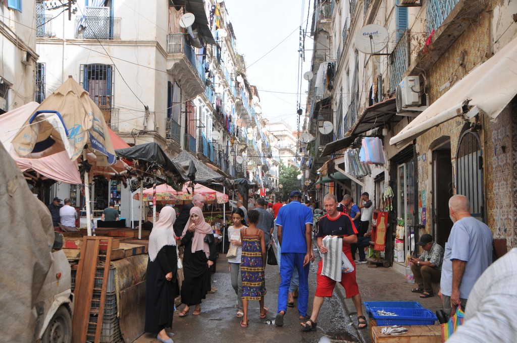
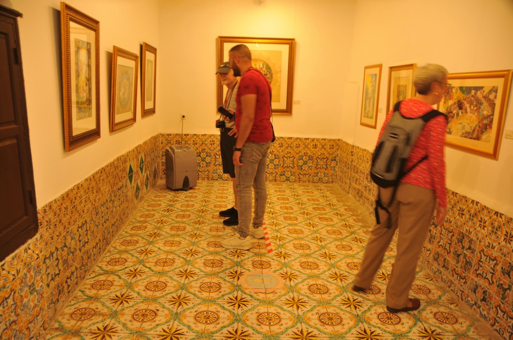
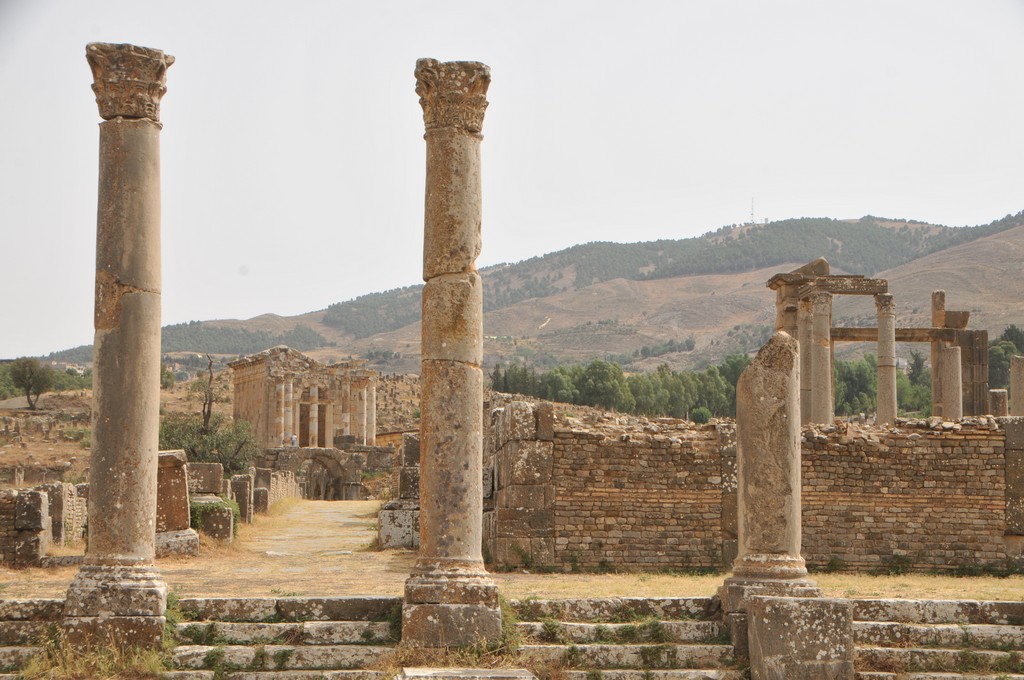
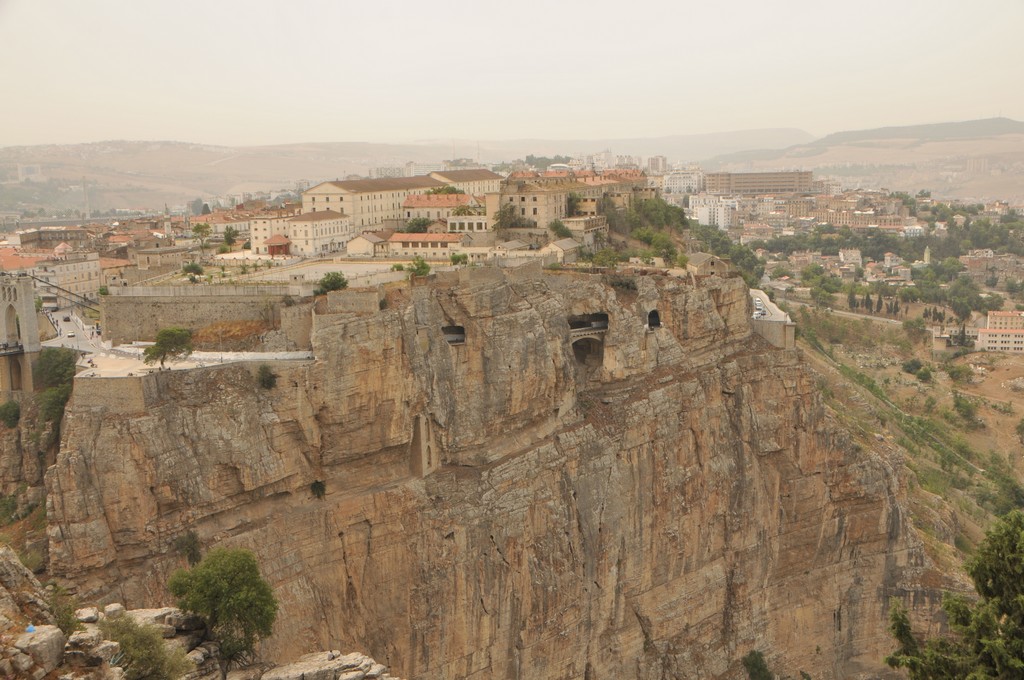
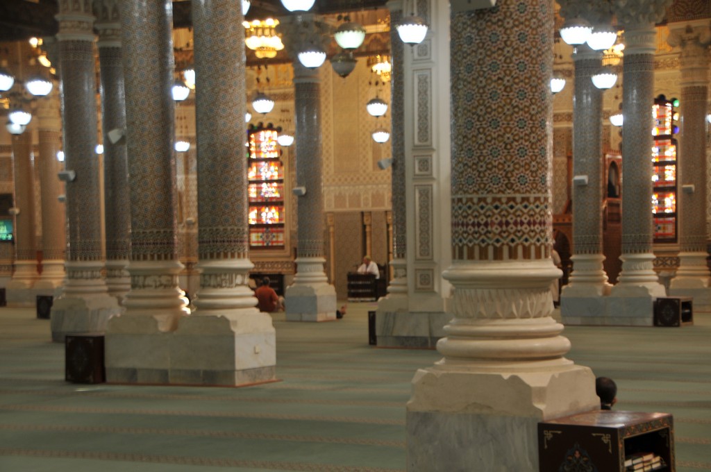
Algeria
[Show thumbnails]